TRT: Watson Lake to Relay Peak
TRT thru-hike day 2. It was a long and hot climb from Watson Lake. Carrying 5 liters of water for the dry stretch made it even harder. But the views were worth it.
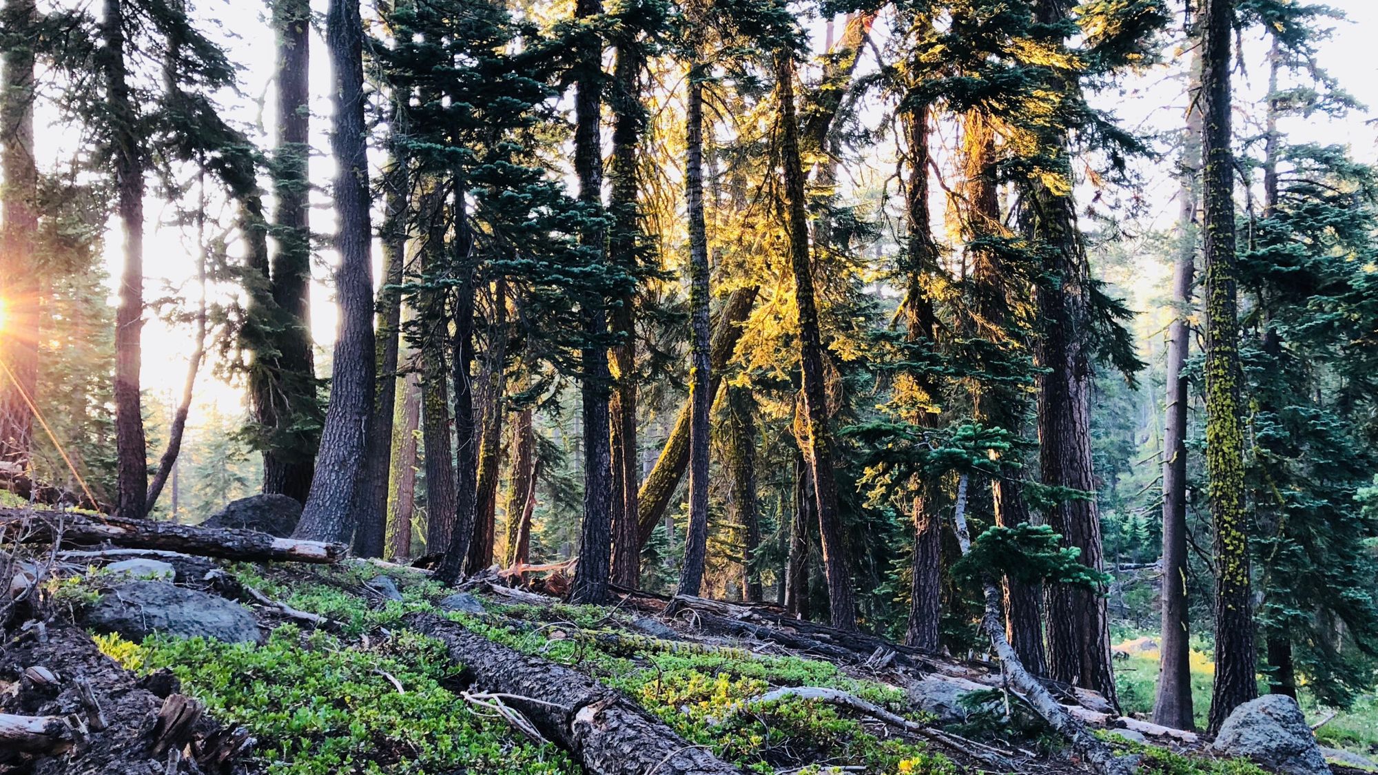
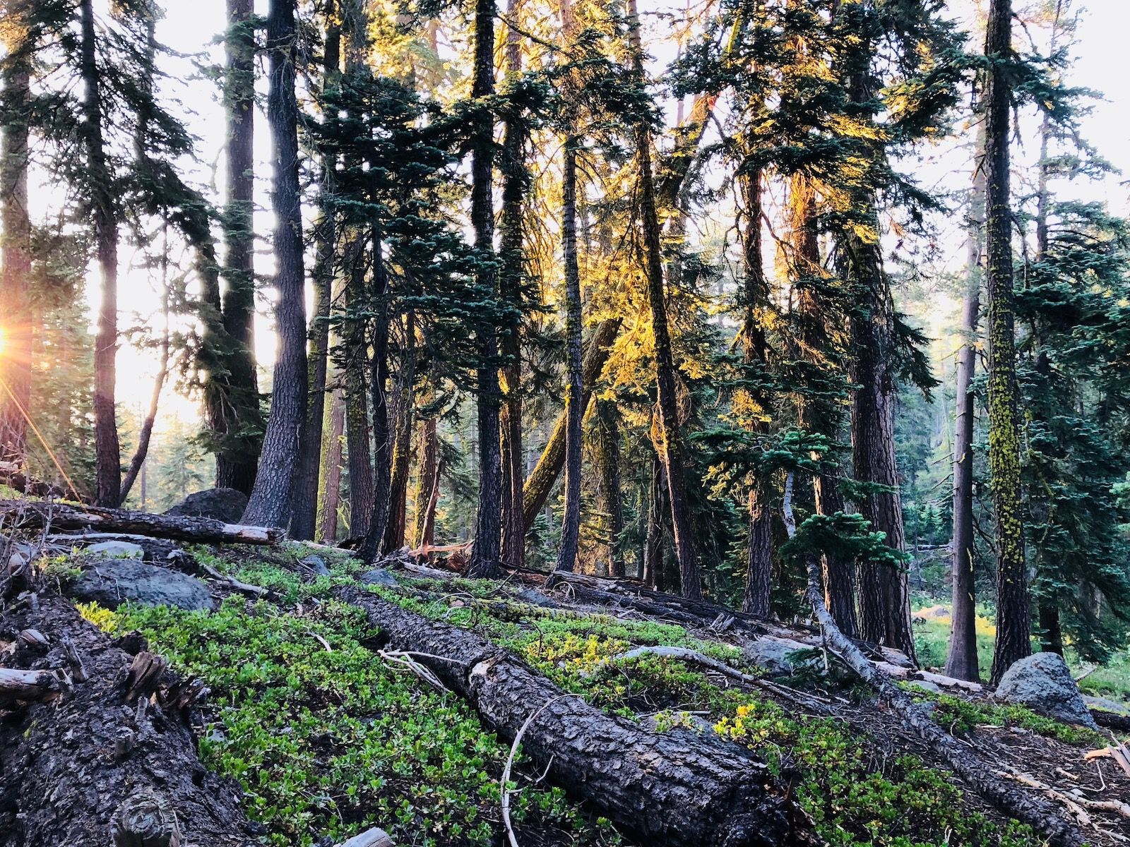
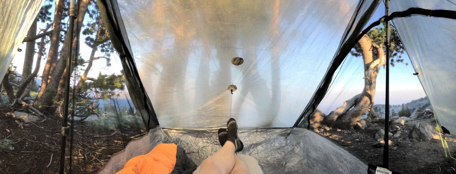
Day 2. I slept poorly like I usually do when up at altitude for the first night. I woke up at 5:45 and had a quick breakfast while watching the first golden rays of the sun illuminate the forest.
The water in Watson Lake was murky, so I decided to fill up my water a half mile down the trail at a spring that was still going according to the Guthook app. I drank a liter at the spring and filled up my heaviest water carry of the trail, 5 liters. There wouldn’t be a reliable water source for the next 17 miles.
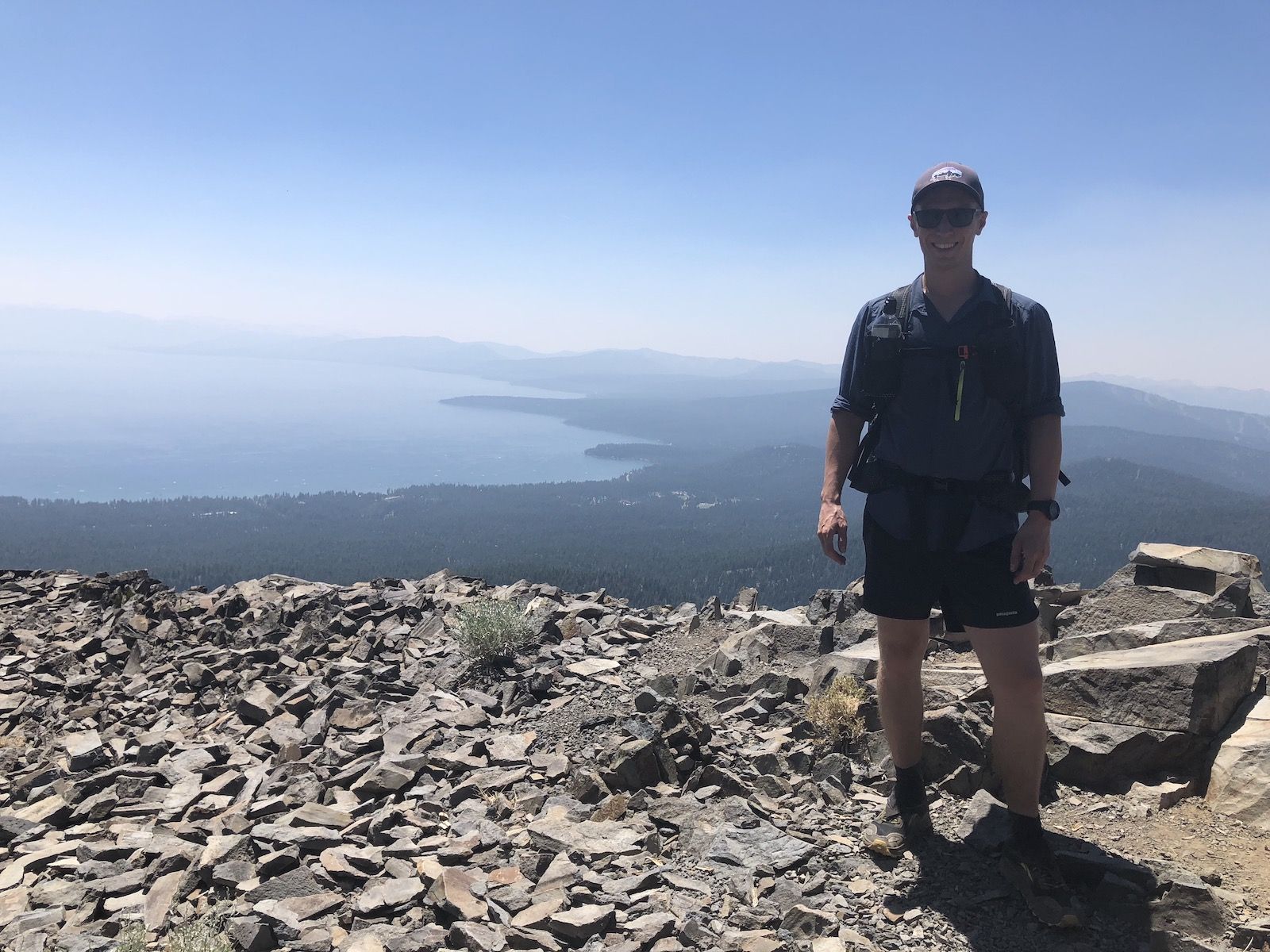
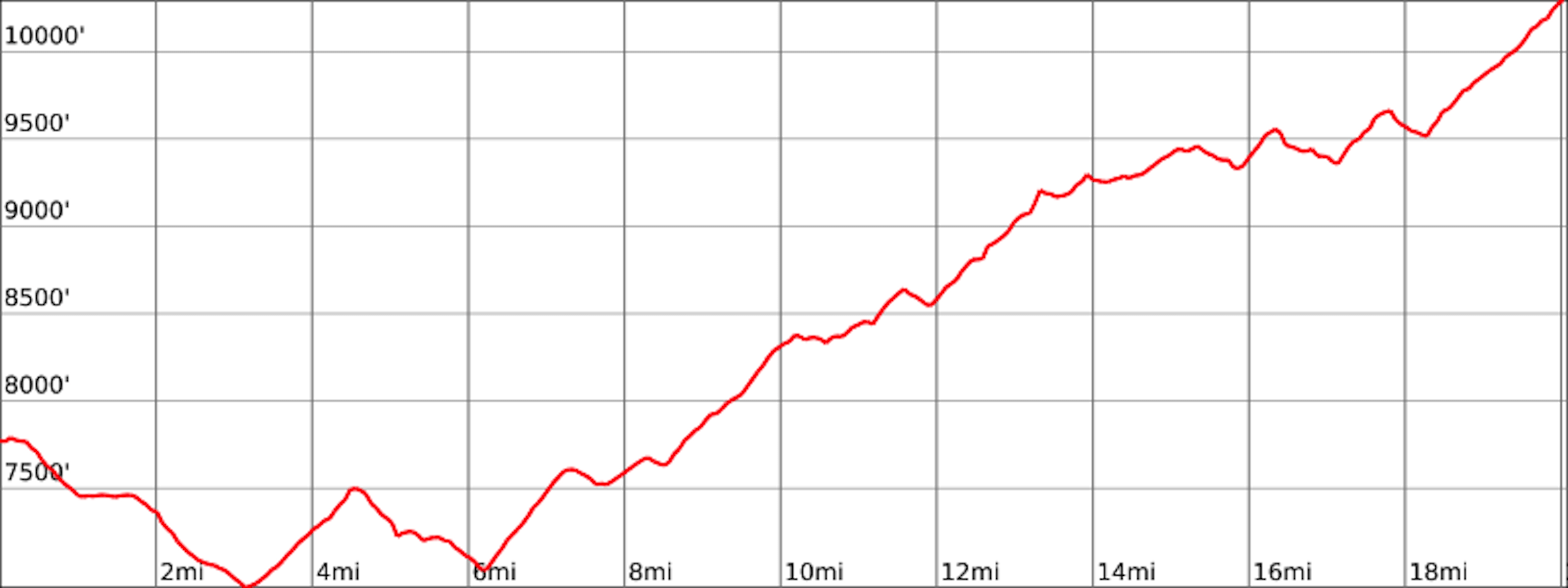
The first 3 miles of the day were a nice gradual descent through the forest. Unfortunately, that would be the last downhill for the day. The following 17 miles were a gradual 3,400ft climb to the top of Relay Peak, the highest point on the TRT.
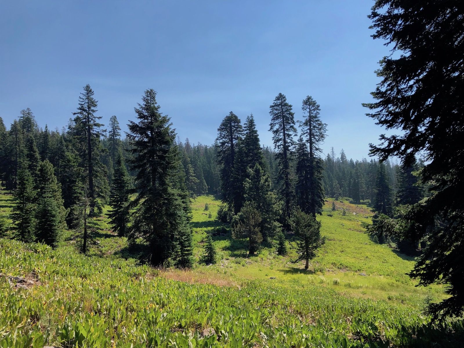
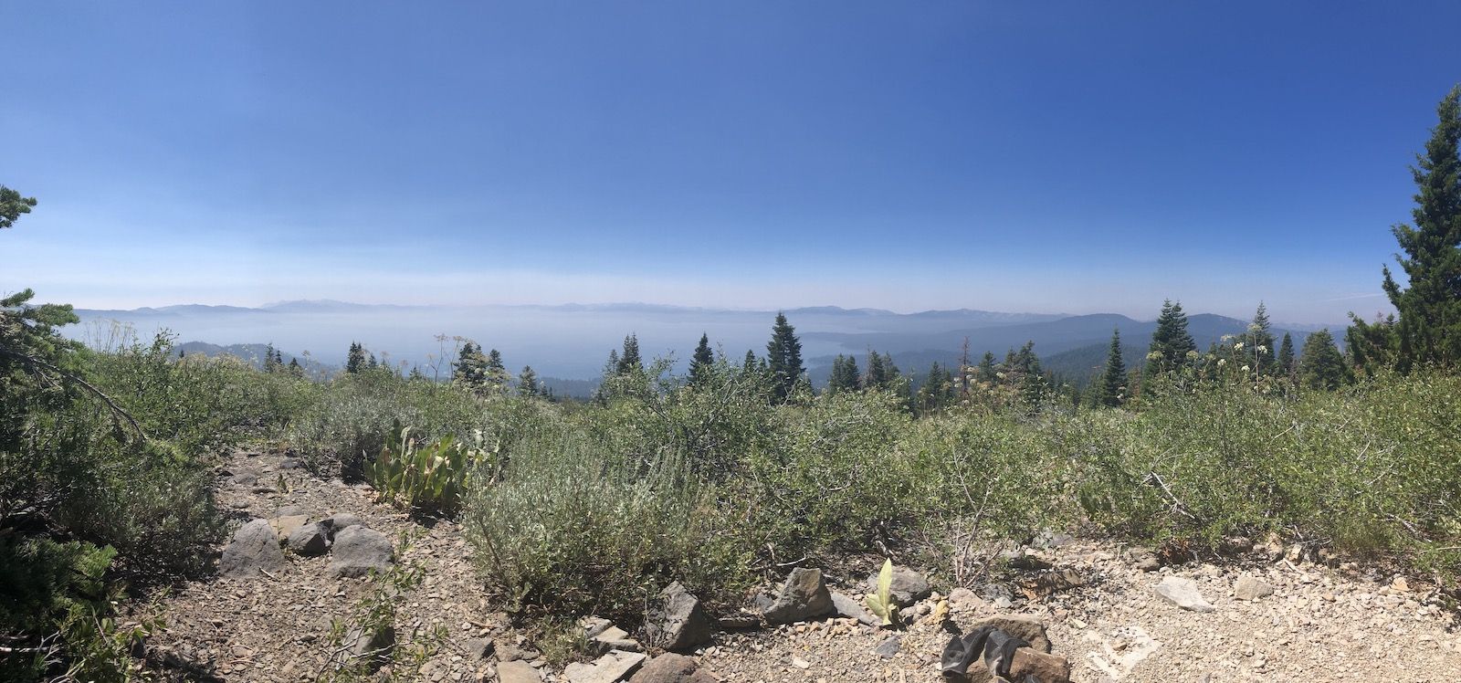
As I climbed, I walked through meadows of Mule’s Ears and started catching glimpses of Lake Tahoe. There turned out to be a water cache at Brockway summit, but since I was already carrying enough water for myself, I didn’t fill up there.
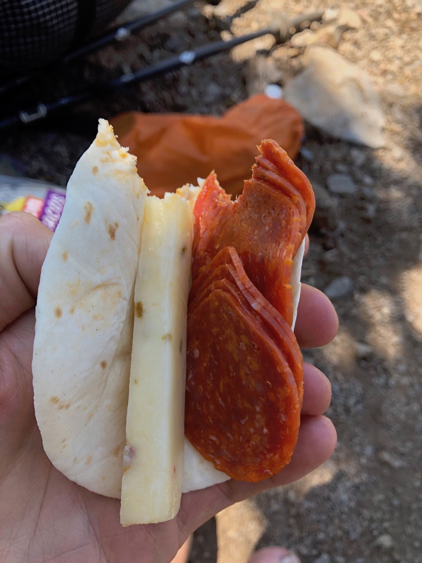
I stopped for lunch underneath a tree, overlooking the lake. I took the chance to air out my feet and enjoy some healthy snacks.
The trail continued in and out of the forest with some shade until Mt. Baldy, just before entering the Mt. Rose Wilderness. For the rest of the day, I was baking in the afternoon sun, walking on loose rocks for added fun.
By the time I finally got to the next water source, a spring just after Mud Lake, I was really starting to get thirsty and cranky. After drinking and filling up my bottles, I decided to rinse off my clothes further downstream quickly. Putting on the wet clothes cooled me down nicely, and I continued with the last few miles of my climb.
My left knee started acting up for whatever reason after the break. I slowed down a bit and kept going. I had read from an earlier trip report that Relay Peak had a couple of excellent campsites and wanted to get up there.
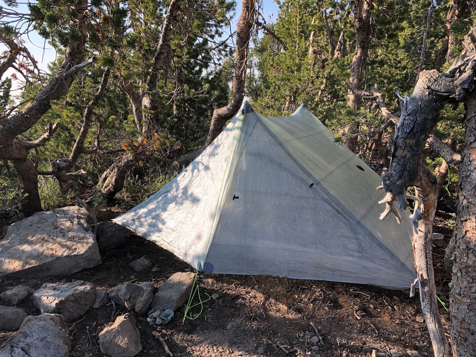
When I finally reached Relay Peak, I was really done with climbing and wanted to set up camp so I could get some food. There were a few spots right on the trail, but I wanted to be a bit off the trail, and a bit shielded from the wind, so I ended up pitching my tent in an exactly Duplex-sized opening between the trees.
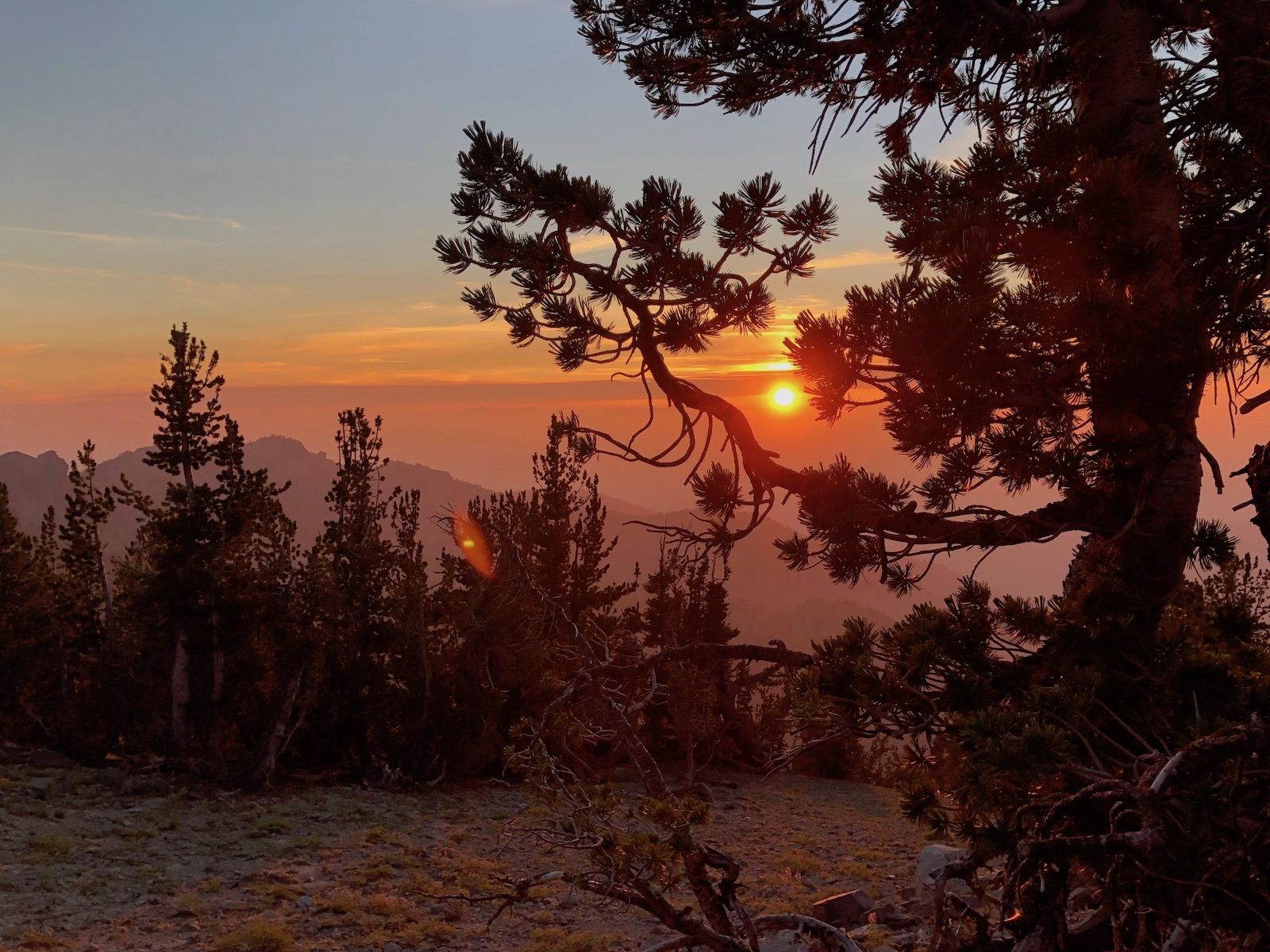
Smoke from the 2018 Ferguson fire was starting to roll in and made for an awesome sunset.
Stats
22 miles +4,800ft, -2300ft total elevation change.
You can find the routes for all days on Caltopo.