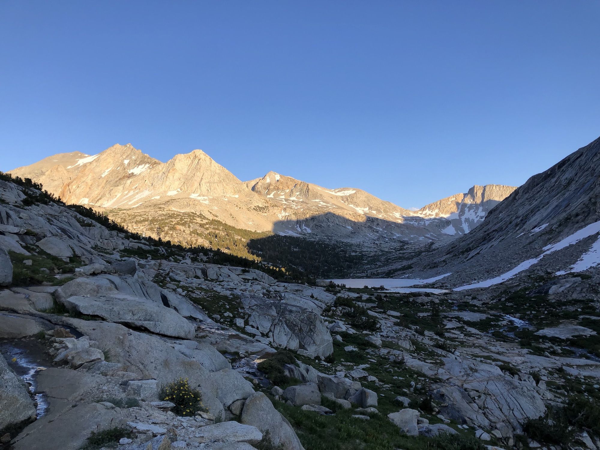
JMT: Evolution Lake to Upper Palisade Lake
The section from Evolution Lake to Palisade Lakes features some of the most iconic JMT landmarks: Muir Pass and hut, Le Conte Canyon, and the Golden Staircase.
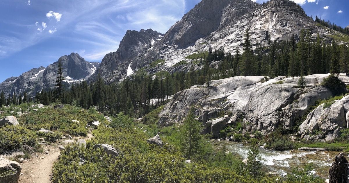
Day 10 – 25.4 miles, 4100 ft ascent.
Today would be a long day. I started my climb up towards Muir Pass just after 7. Muir Pass would be the snowiest pass on the entire trail. Just a week before I headed out, the satellite images showed several miles of nonstop snow cover.
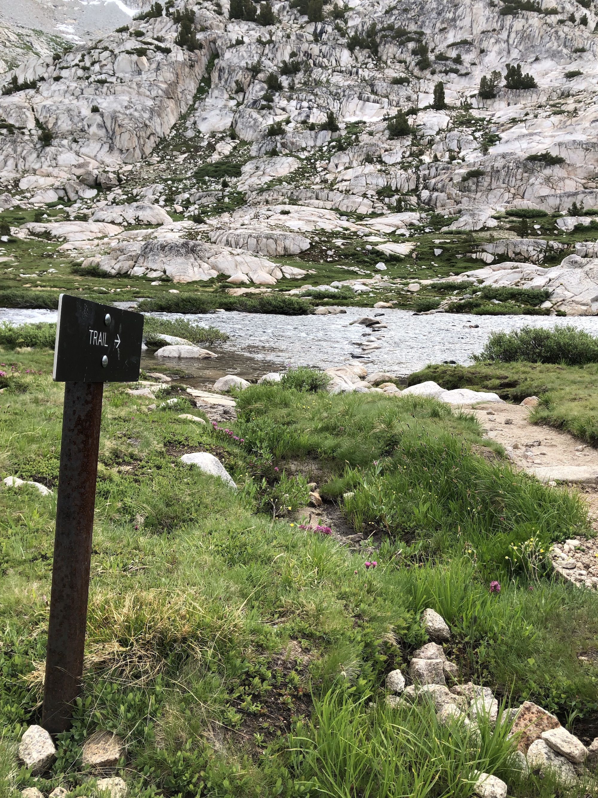
I started my day with wet feet after crossing the inlet to Evolution Lake. By now, I was confident that walking with wet feet wouldn’t cause any issues as long as I let my feet dry out during breaks and overnight.
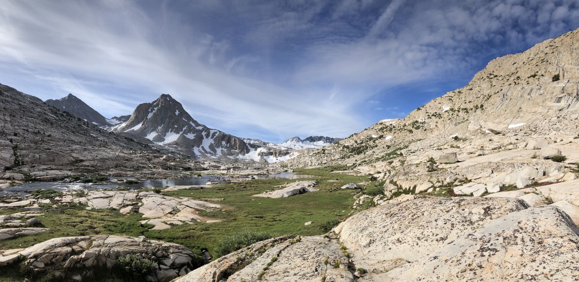
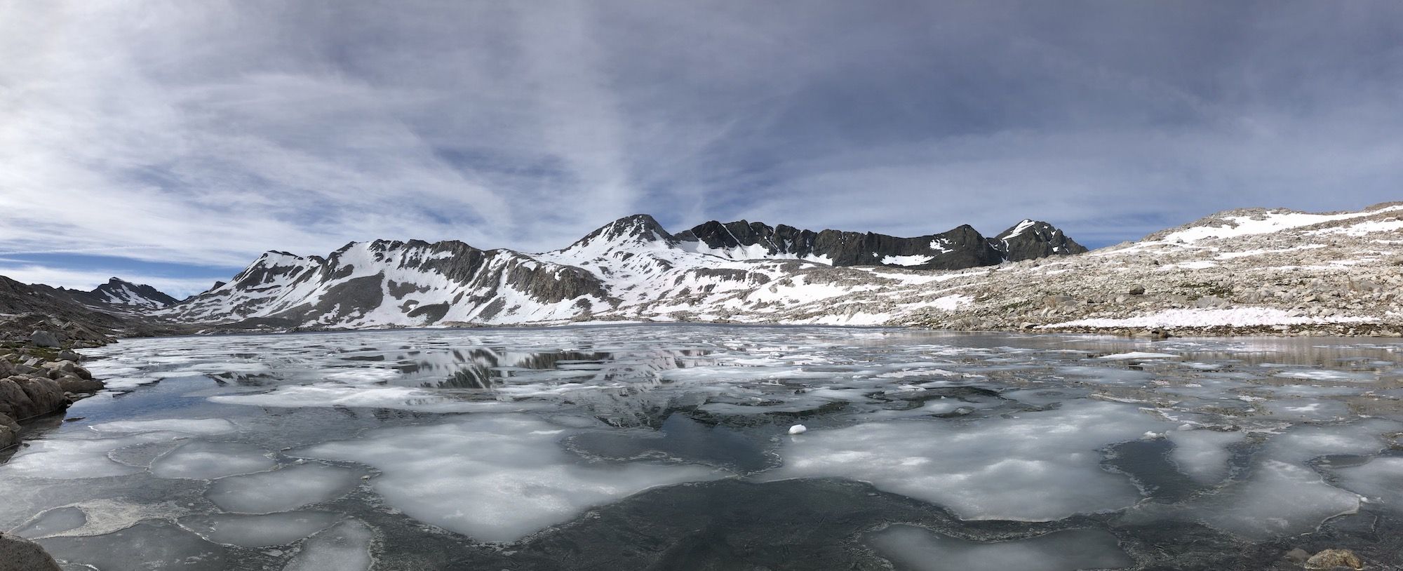
Shortly after starting my ascent, I started encountering snow. Wanda Lake was still partially frozen, and the path along it was muddy and snowy. The outlet of Lake McDermand was teeming with brook trout. The fish were very skittish, but I managed to catch one–probably the fattest brook trout I’ve ever seen. I later found out that McDermond doesn’t usually hold fish, but the wet winter had increased the flow of the stream enough for fish to migrate up from Wanda Lake.
The Northside of Muir Pass was easy to navigate. There was only one snowfield left, and it wasn’t more than a few hundred yards long.
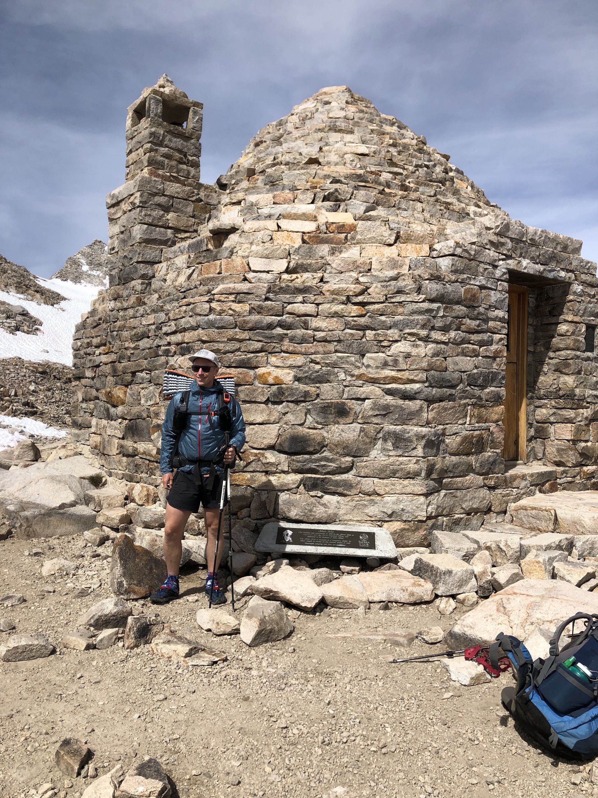
I met a troop of boy scouts at Muir Hut. They were playing Country Roads on the ukulele when I entered the hut. It felt good to get out of the wind and sun for a while. I hung out with the scouts for a good while before continuing.
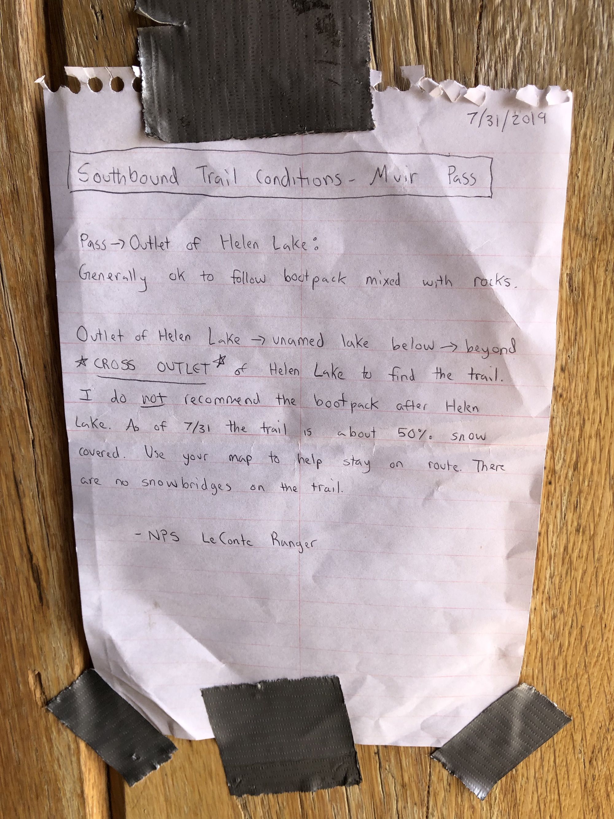
The ranger had attached a note on the hut door, advising hikers on the route to take down South from the pass. There were several paths worn through the snow from earlier hikers that were getting dangerous as the snow was melting.
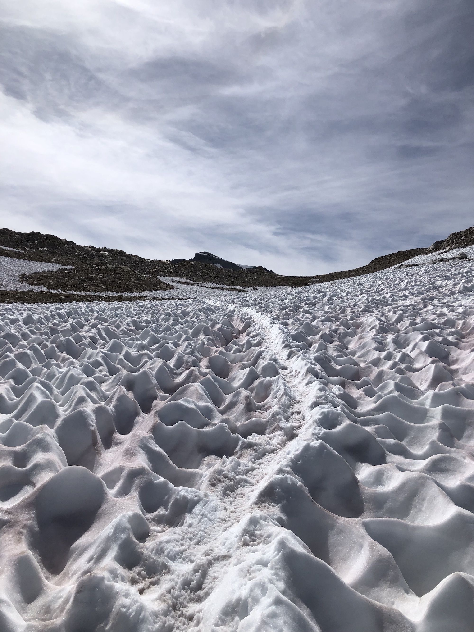
The trail was completely covered in snow from the pass all the way past Helen Lake. The boot pack was easy to follow in the beginning, but the farther I got, the more the tracks diverged. I opted to navigate along the trail instead of trying to follow old paths.
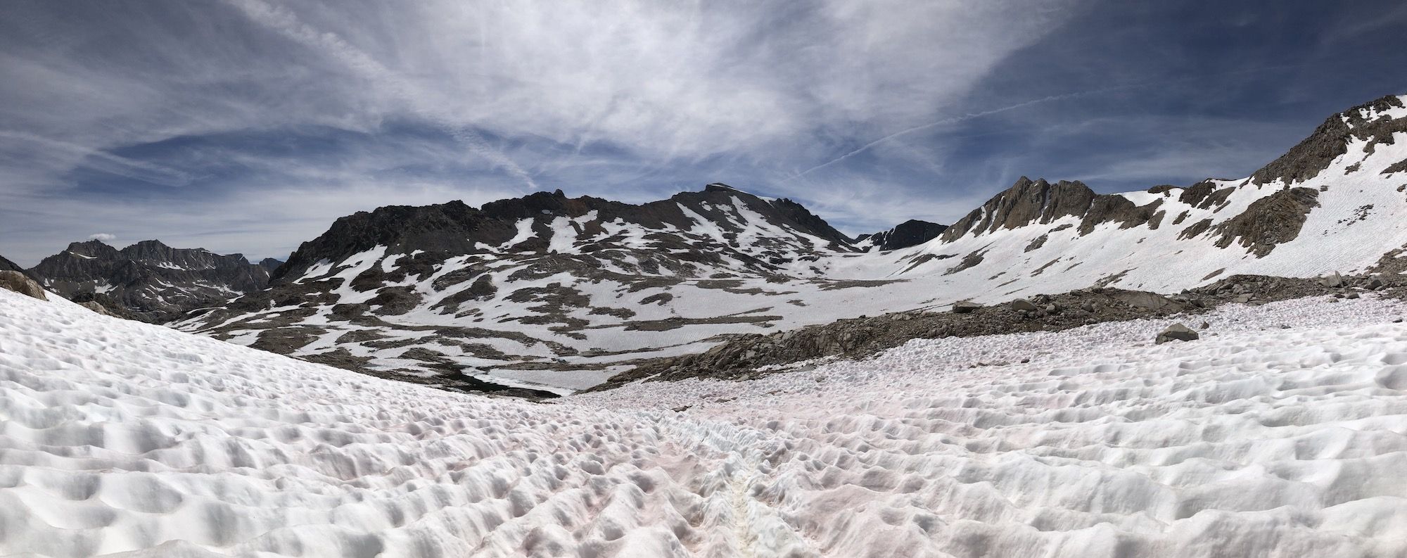
As I got down towards Lake Helen, I saw what the ranger had meant with the note. There were tracks on the Southside of the creek, traversing steep slopes and crossing some very sketchy looking snow bridges.
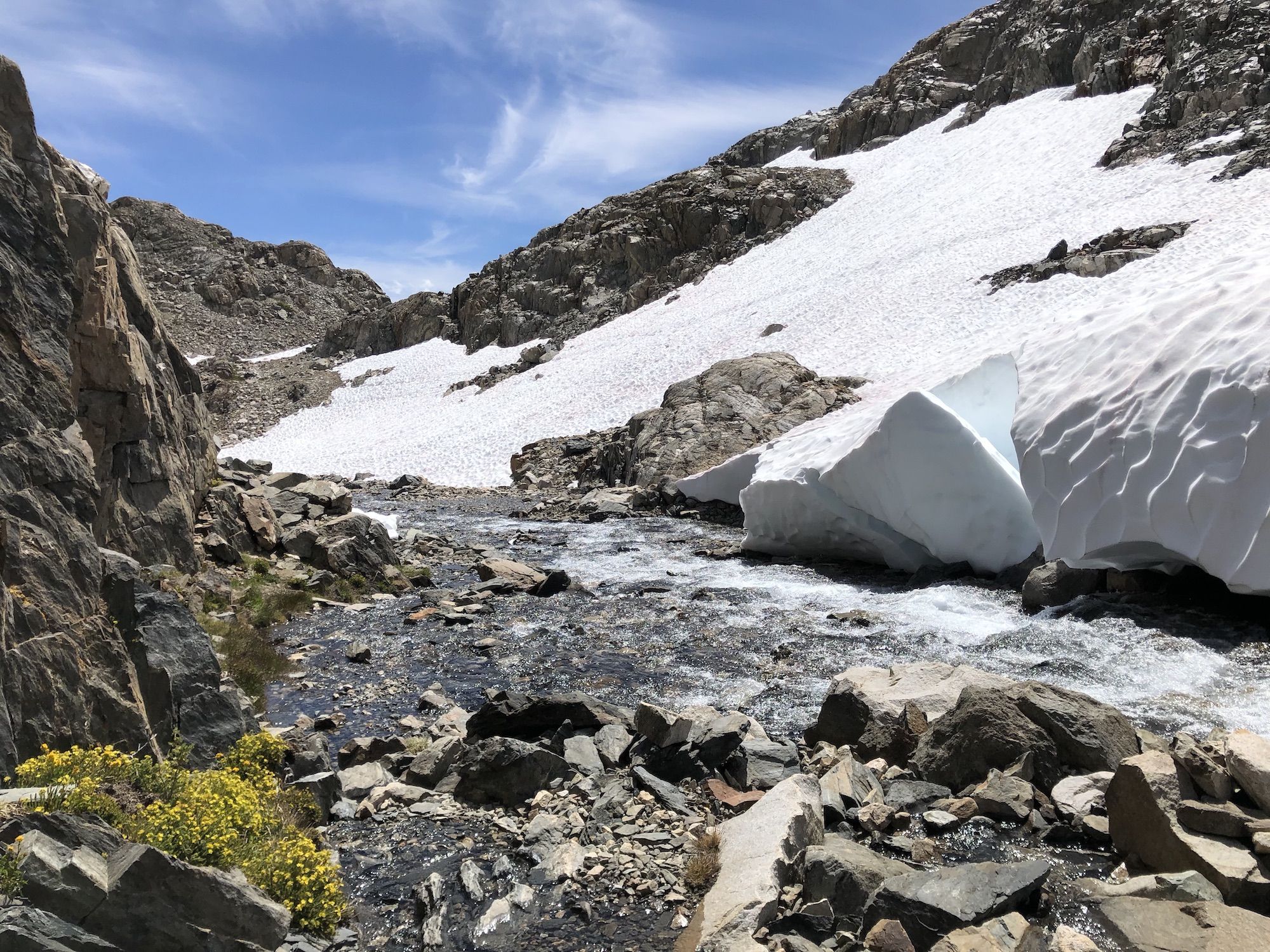
The trail from Helen Lake through Big Pete Meadow crossed countless streams. At times the path was a stream.
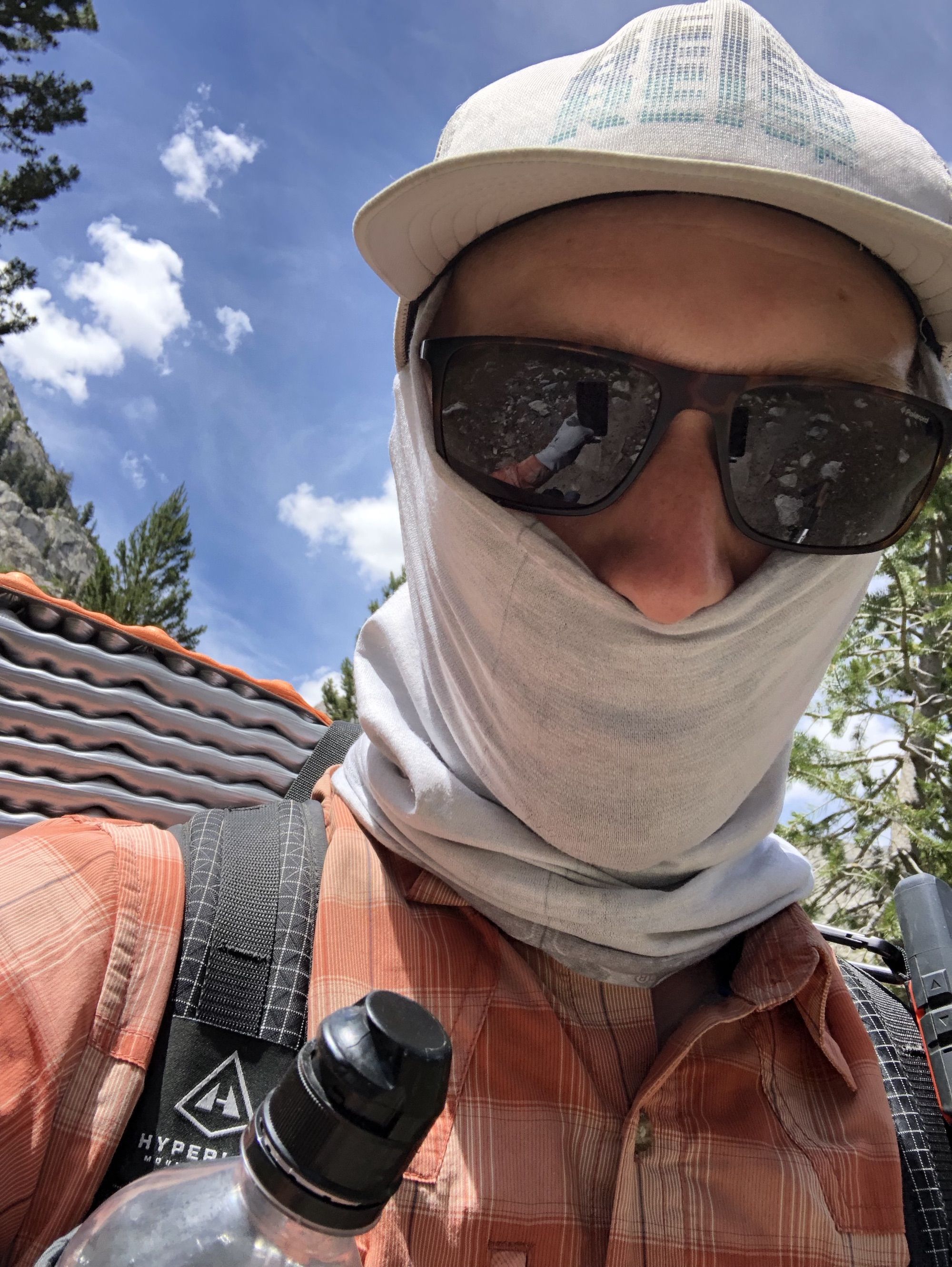
I had been completely exposed on the 13-mile stretch from Evolution Lake to the beginning of Le Conte Canyon. Combined with the long stretch of snow, it was clear I needed more than just sunscreen. I used my buff to shield my face and neck, and sun gloves to cover my hands. Although it got warm, I didn’t get burned.
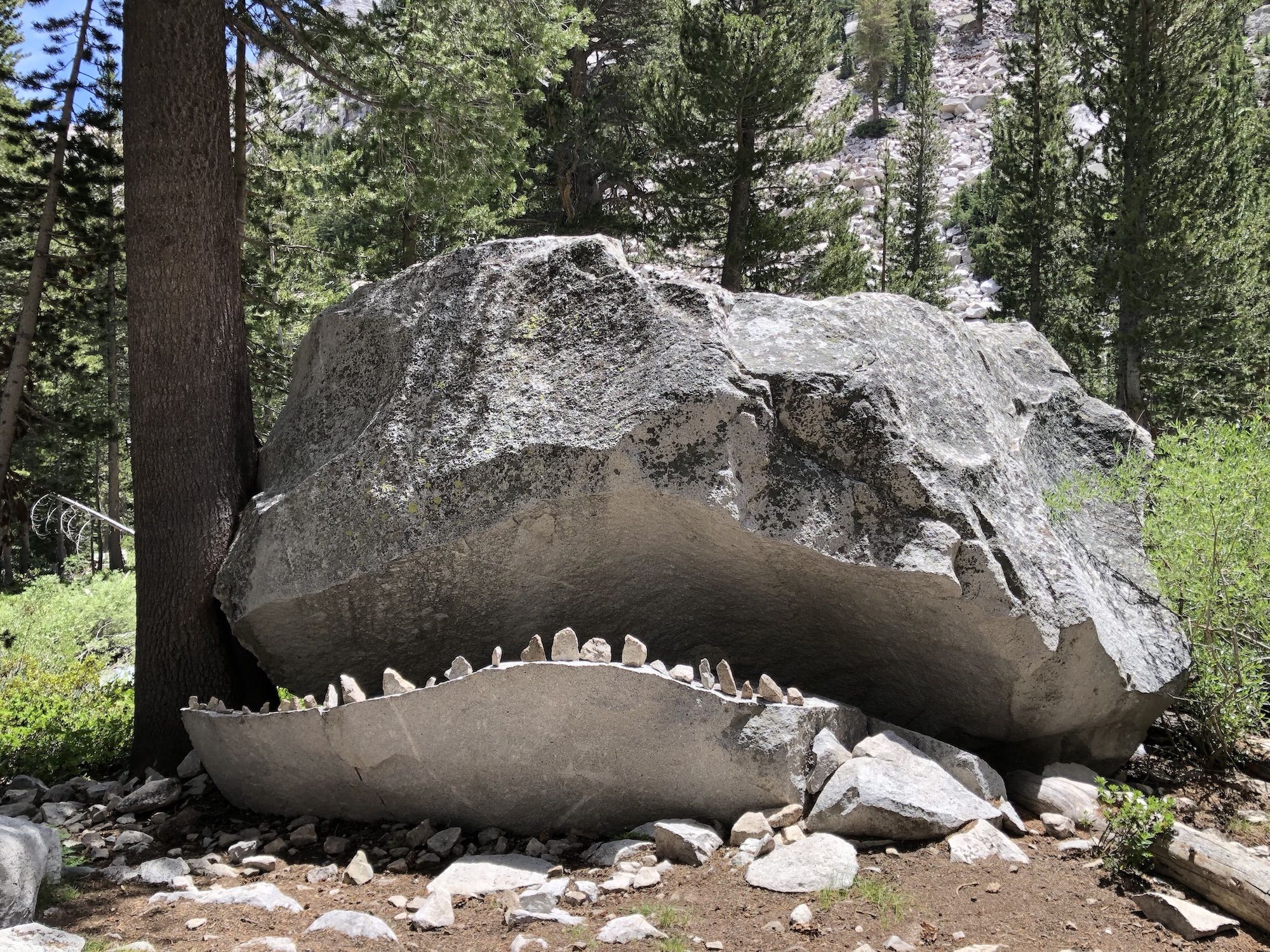
The trees in Le Conte Canyon provided a much-needed break from the sun. But the mashes and wet meadows came with thick swarms of mosquitoes. The trail continued descending through the canyon, although with a much more pleasant grade than the first stretch down from Muir Pass.
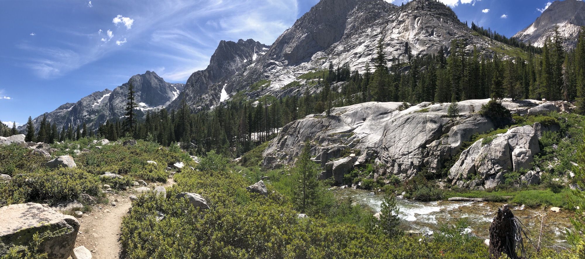
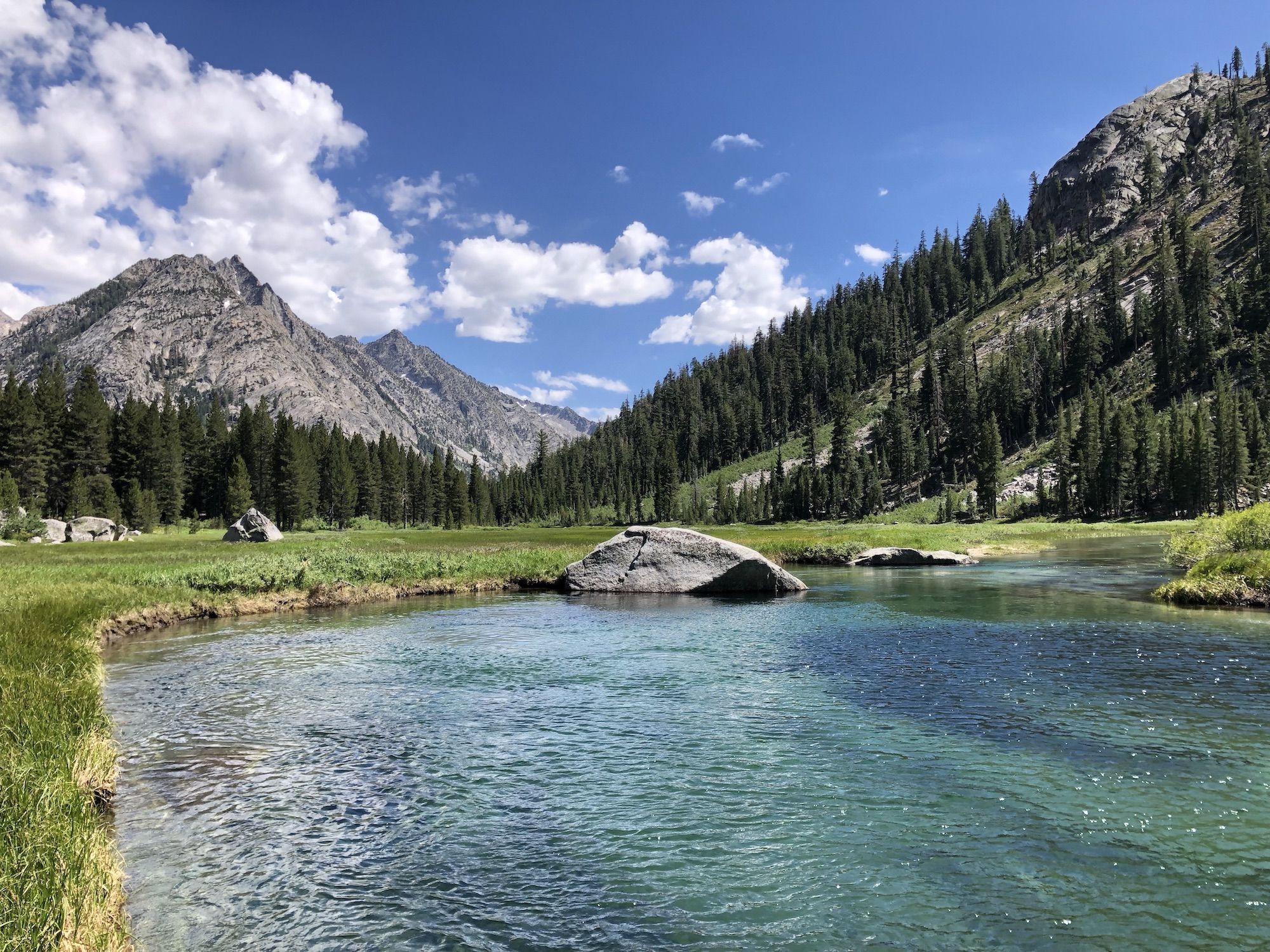
The trail junction to Palisade Lakes was at 8,100 ft–almost 4,000 ft below Muir Pass. And as I would find out, nearly 2,500 ft below my campsite.
The trail along Palisade Creek passed through a brushy area of young aspen trees and burned logs.
Somehow, I had failed to realize that I needed to climb up the Golden Staircase to get to Palisade Lakes. I knew it was there from planning, but somehow it didn’t cross my mind that day. Until I started climbing it, that is.
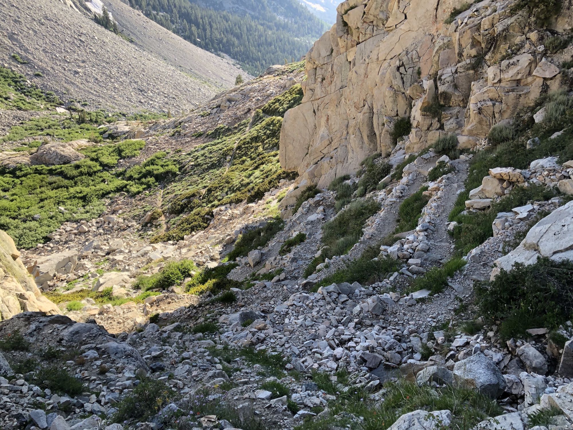
I had already hiked well over 20 miles with a lot of elevation. The last push up to Palisade Lakes felt brutal. Some people had opted to camp along the trail, halfway up the staircase. I still wanted to continue to be within striking distance of Mather Pass the next morning.
Finally, at the top of the climb, I was met by a sea of tents at Lower Palisade Lake. Tired from the climb, most backpackers had set up camp as soon as possible. All the potential campsites I saw were right next to other tents, so I kept walking.
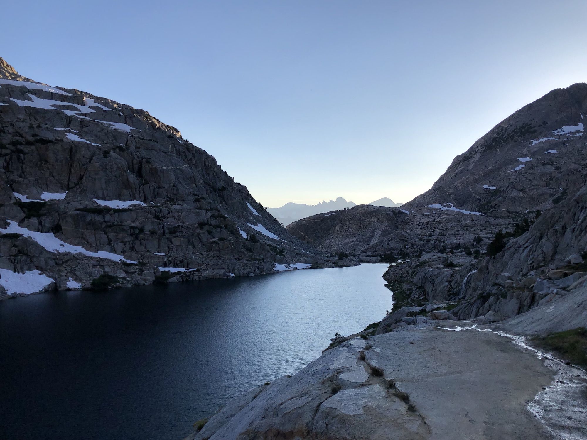
It turned out that there was still a good amount of climbing to get to Upper Palisade Lake. I finally found a campsite with a nearby stream. There were four other tents nearby, but I was too tired to care.
I set up my tent just as the sun went down. I enjoyed a big, warm dinner before going to bed early.
