3 days of awe-inspiring backpacking in Desolation Wilderness
An early June trip after a low snow winter gave us beautiful views, plenty of water, and patches of lingering snow.

My friend Joonas and I had been planning an early June hiking trip to Hetch Hetchy in Yosemite. We had a permit for June 4. Unfortunately for us, they opened for backpacking on the 5th, which meant we needed to find an alternate trip.
Even with the lousy snow year we’ve had in 2020, an early June still means there will be snow in most places in the Sierra. We didn’t mind a bit of snow, but we didn’t want it to be the dominating part of the adventure.
After discussing some alternatives and checking satellite photos on Caltopo, we decided to go for a relatively snow-free loop in Desolation Wilderness near Lake Tahoe.
Desolation Wilderness backpacking loop
Start at Echo Lakes Trailhead.
Day 1: PCT / TRT to Tamarack Lake – Lake Aloha – Heather Lake, Susie Lake.
Day 2: Glen Alpine trail to Glen Alpine Trailhead, Tamarack Trail to Tamarack Lake.
Day 3: PCT / TRT back to Echo Lakes Trailhead.
Note: you need to get a wilderness permit from recreation.gov for this trip.
Day 1: Echo Lakes to Susie lake via Lake Aloha
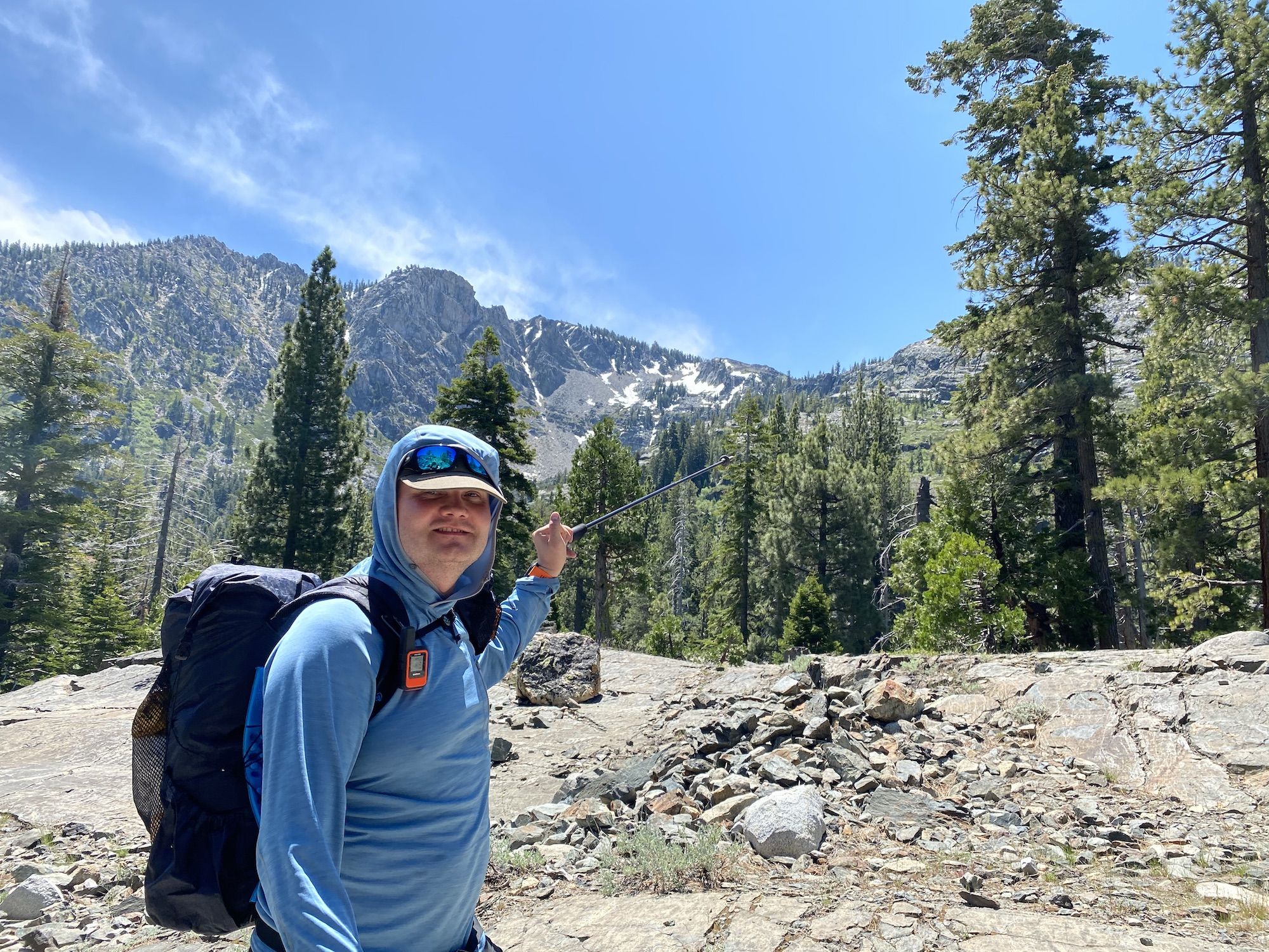
We arrived at the trailhead a bit before 11 and got our gear in order. After taking a couple pictures at the dam by the outlet of Echo Lake, we headed out.
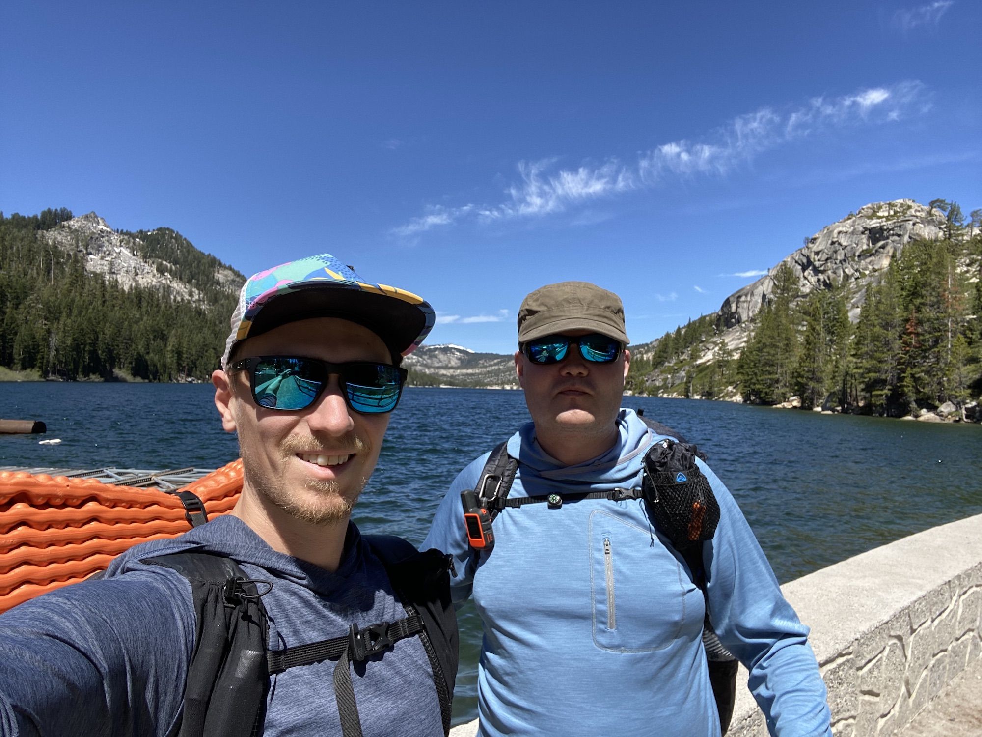
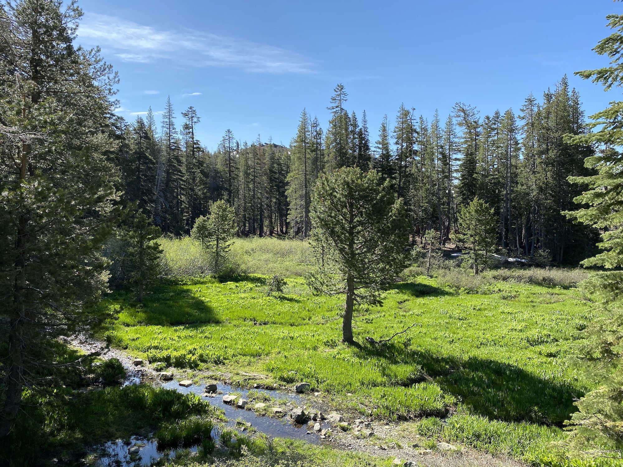
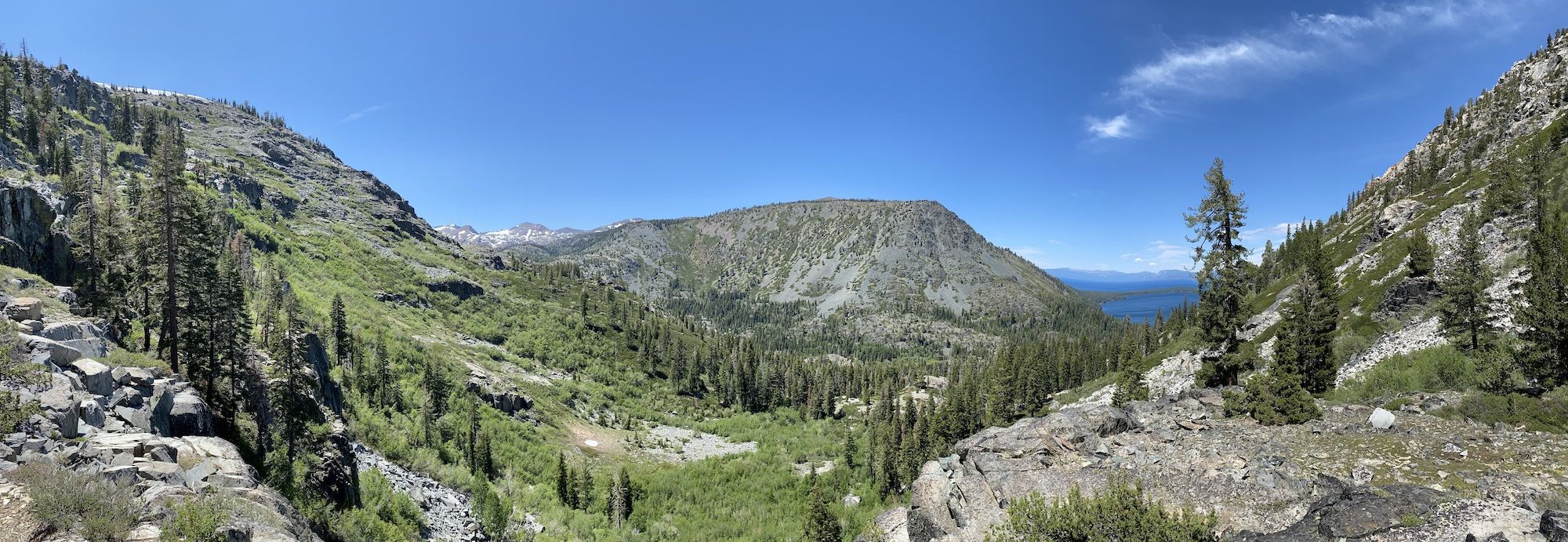
The trail follows the eastern shore of the Echo Lakes, high above lakeside cabins. The first section of the trail, until Tamarack Lake, is very popular. Even on a Thursday morning, we met a constant stream of other hikers out enjoying the early summer weather.
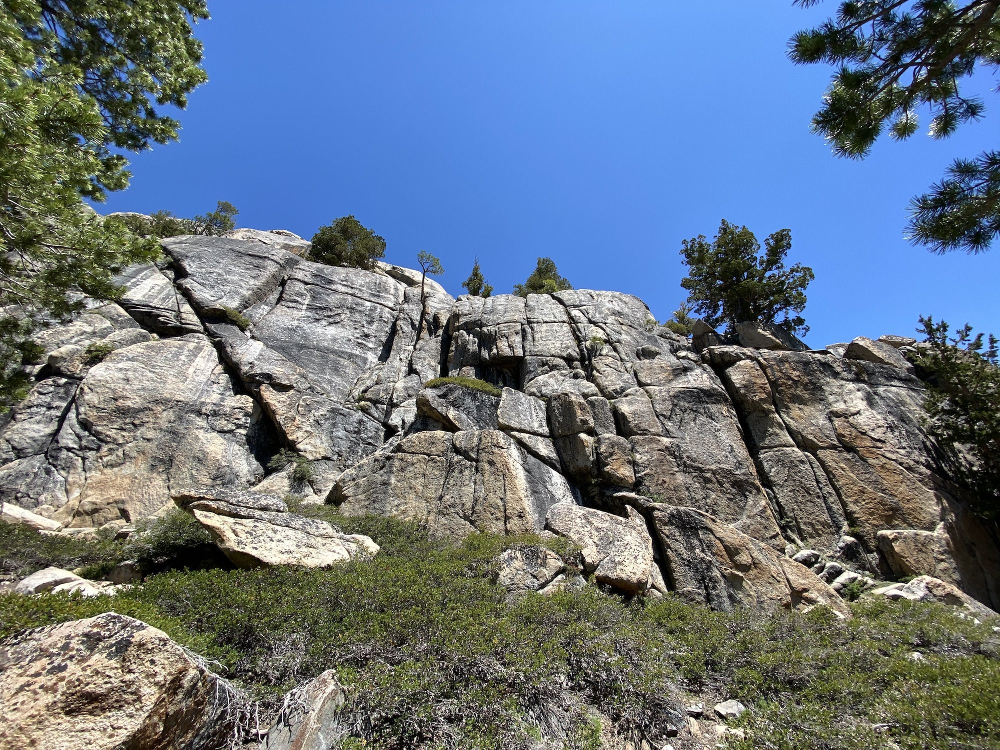
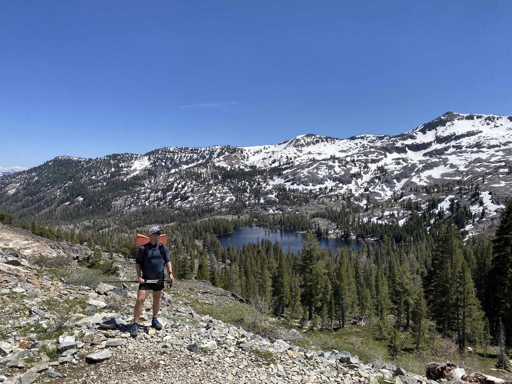
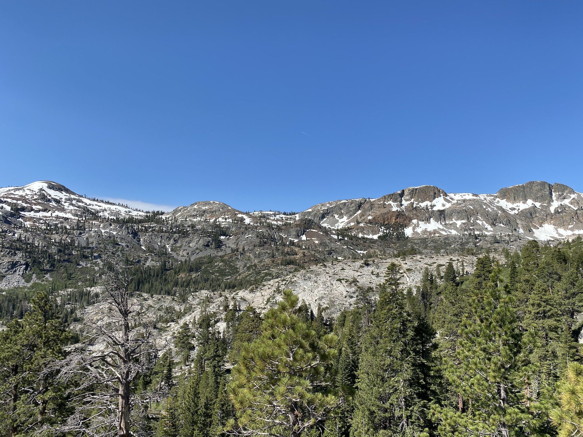
The trail starts climbing in earnest after the upper Echo Lake. As we got higher, we started getting a great view of the lakes below us. The lingering snow on the surrounding mountains made for some stunning scenery. Even though I’d hiked this part of the PCT/TRT a couple of times before, I never get tired of the mountain vistas in Desolation.
We took a long lunch break at Tamarack Lake. We didn’t have a very long day ahead of us, so we took things slow and enjoyed being out in nature after being cooped up for weeks.
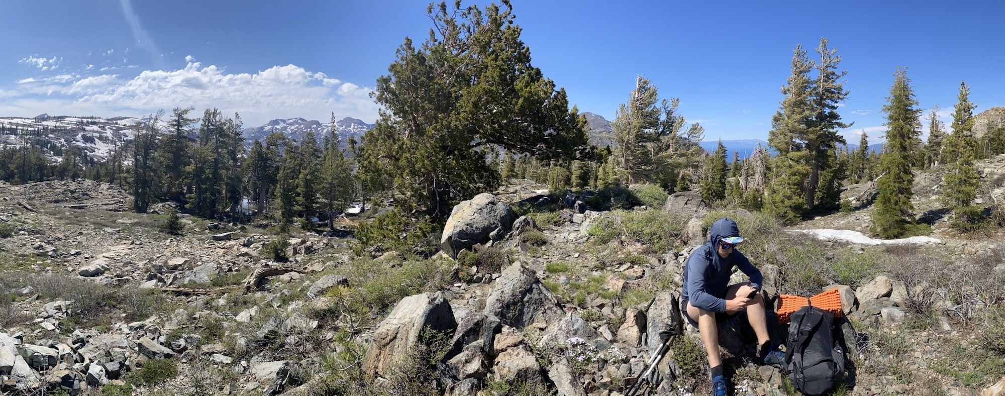
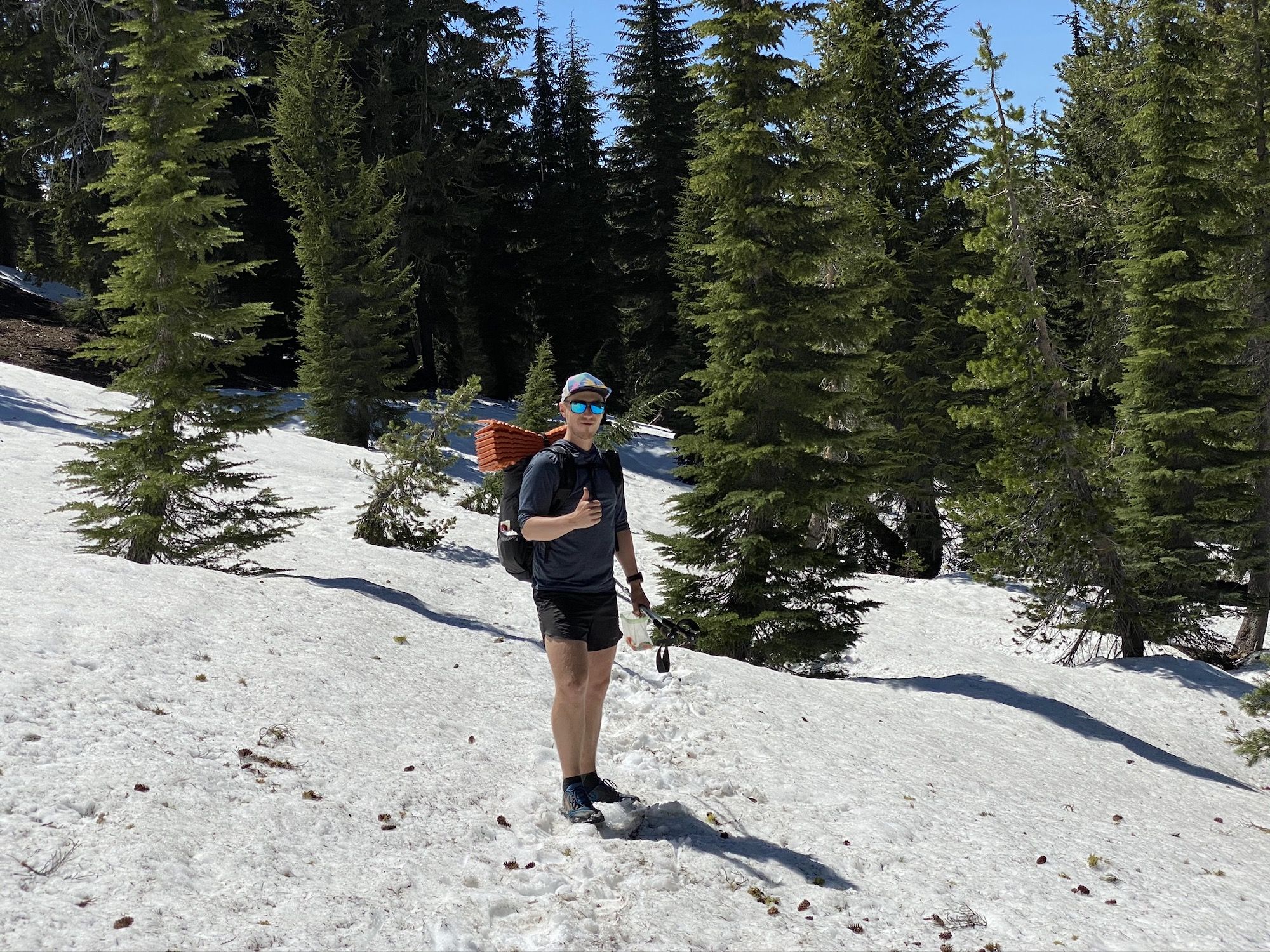
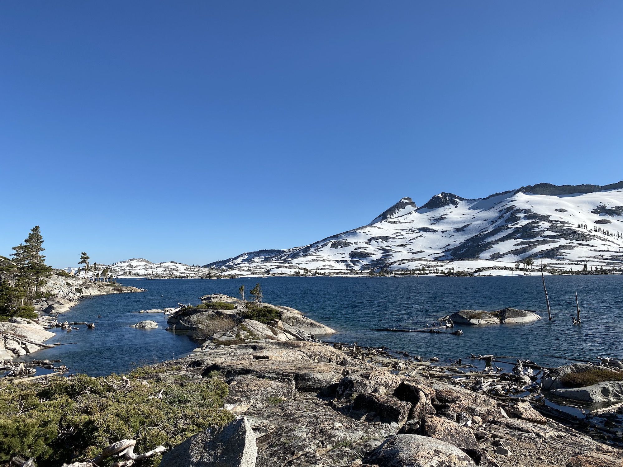
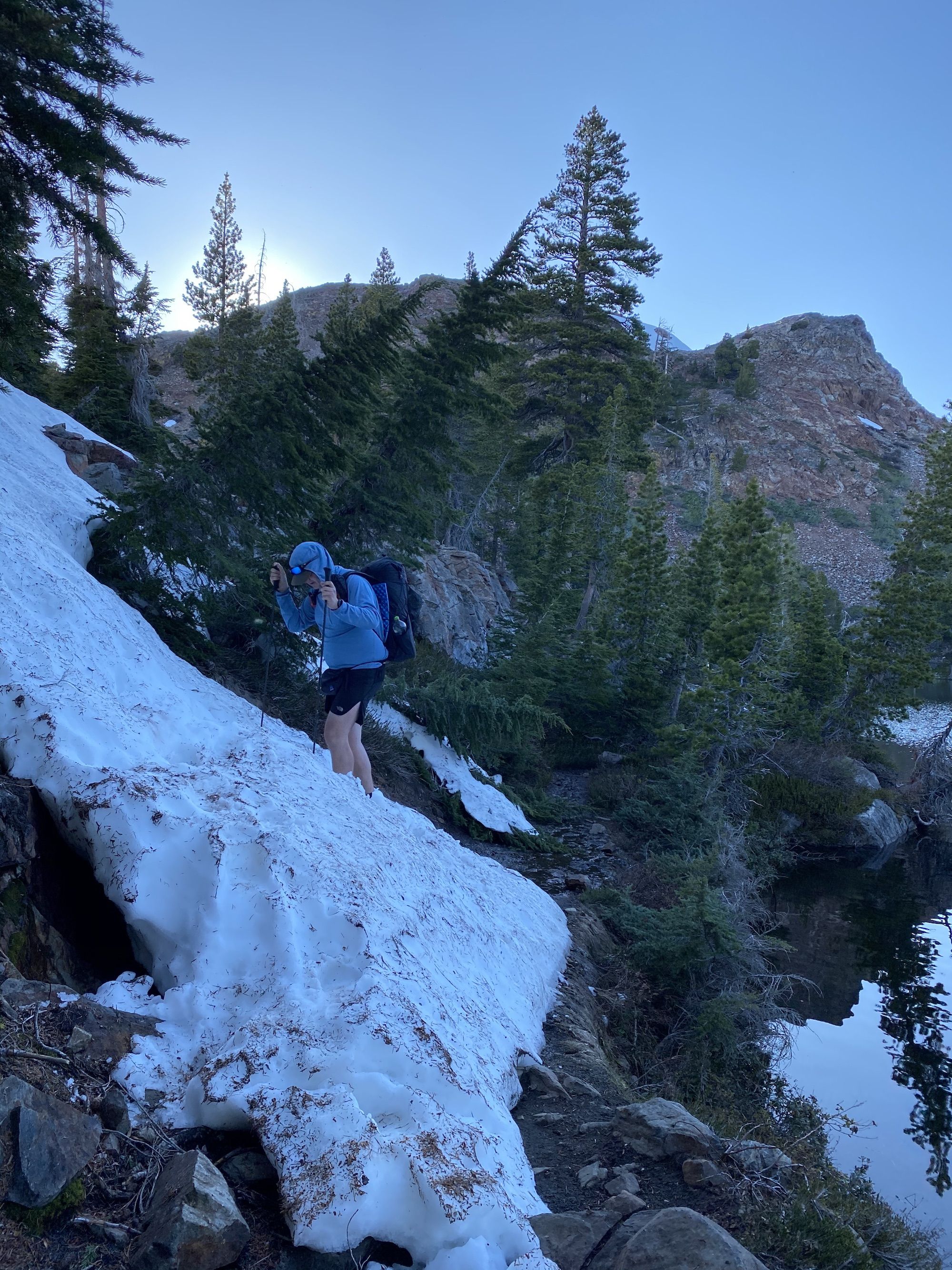
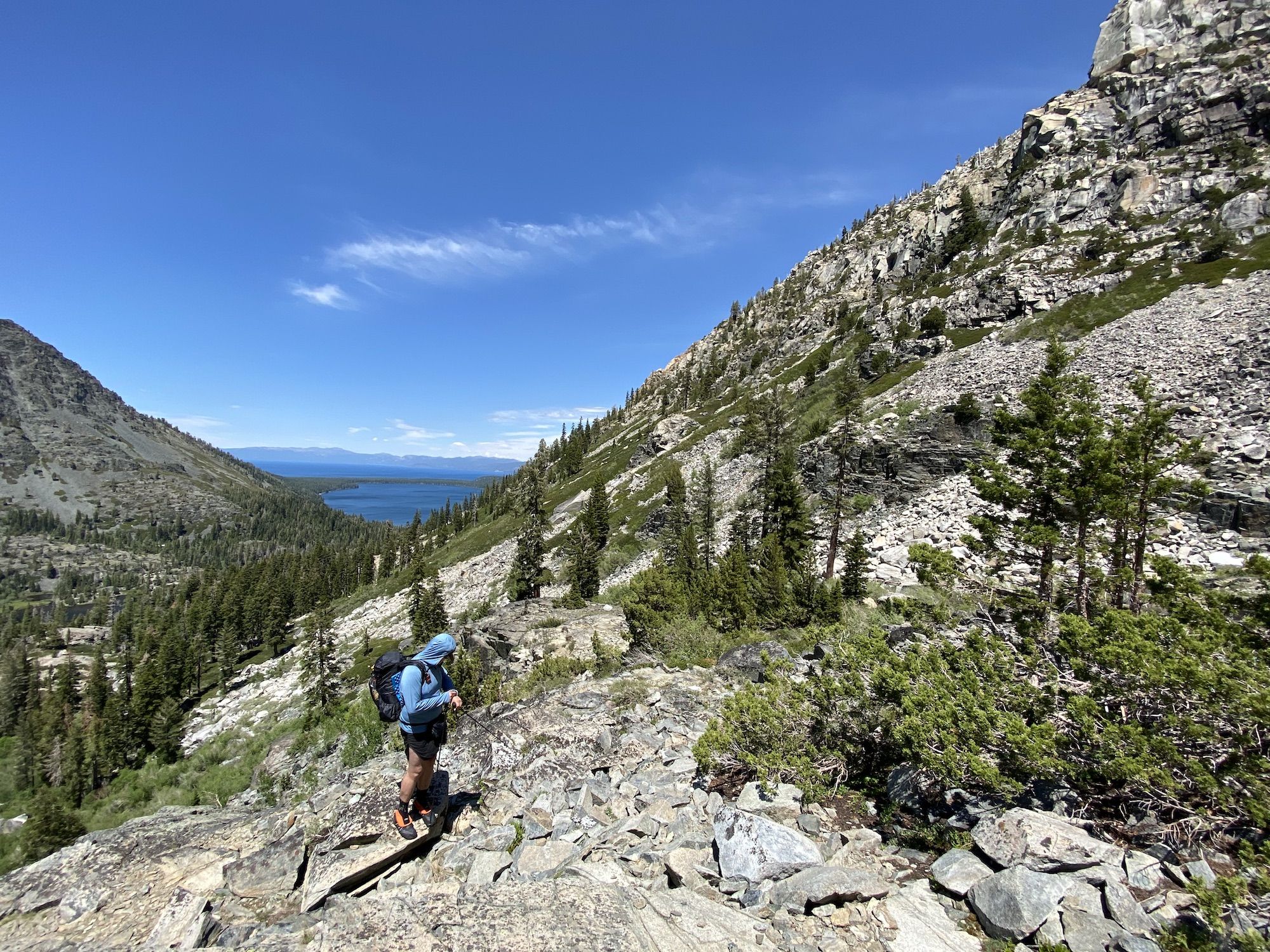
We encountered snow at around 8000ft. The trail was under several feet of snow, which made navigation a bit tricky at times. Both of us had the route loaded on our Garmin Fenix 6 watch, which beeped any time we strayed too far off course, telling us to check the map and where we needed to head.
Once we were out of the thick forest, navigation became easier. The snow was slushy in the warm summer sun, but it held firm under our feet. We only broke through in a few places where the melting water had created snow bridges.
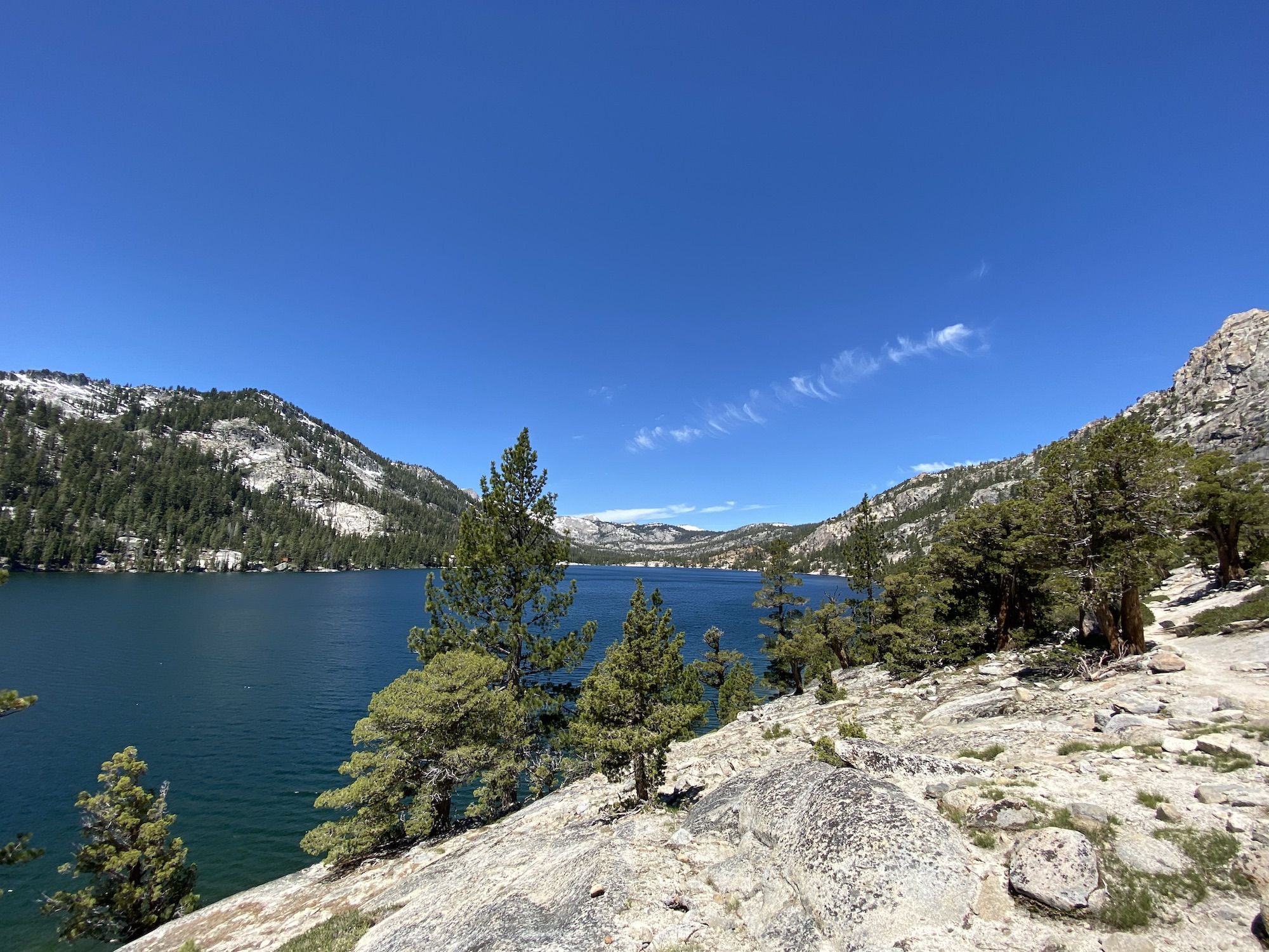
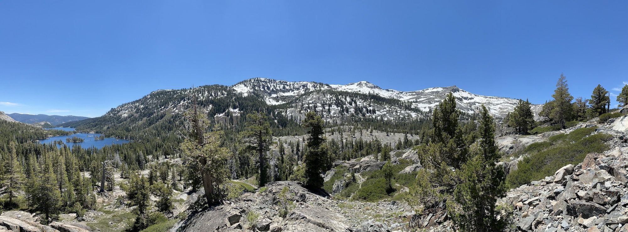
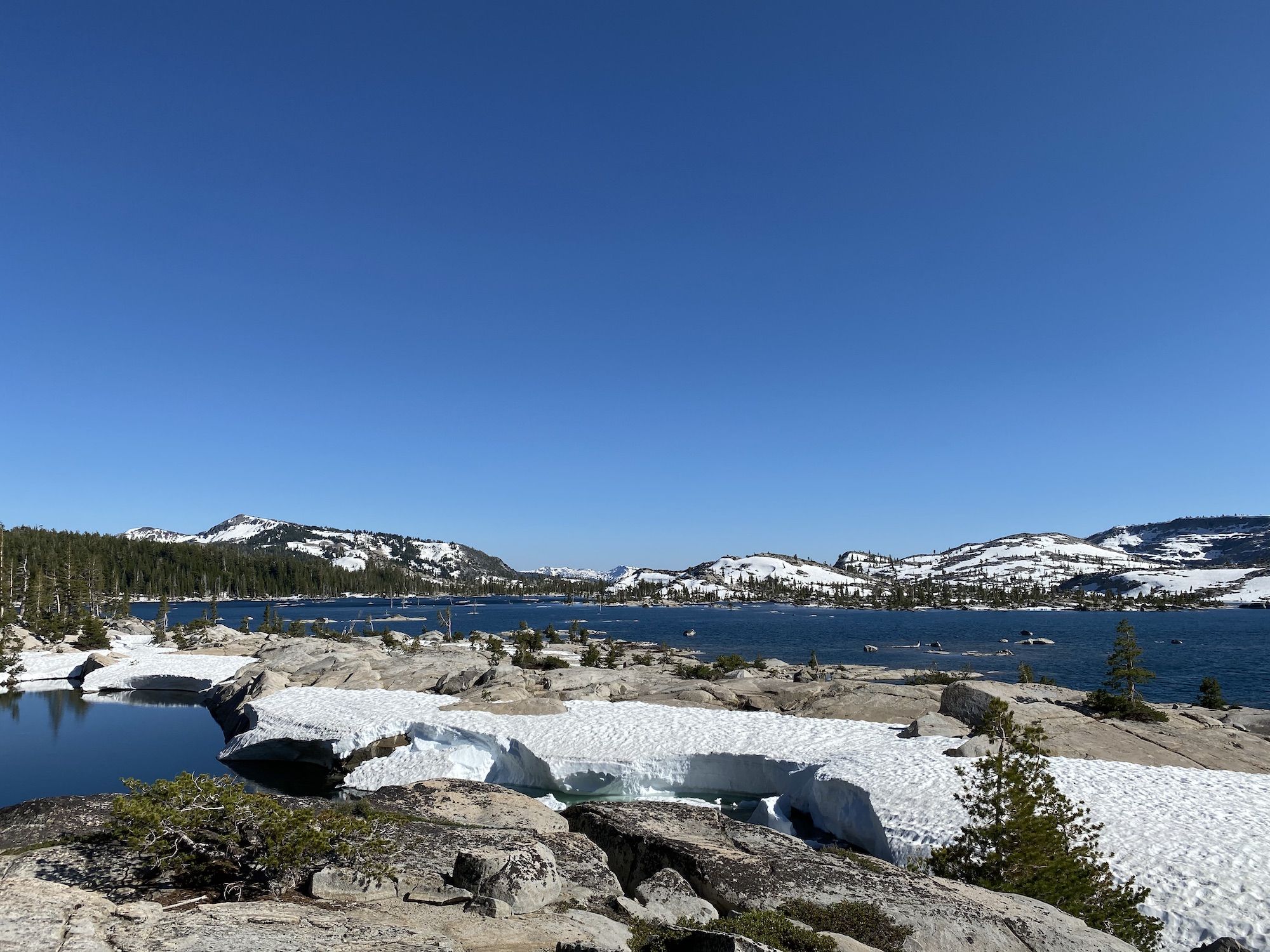
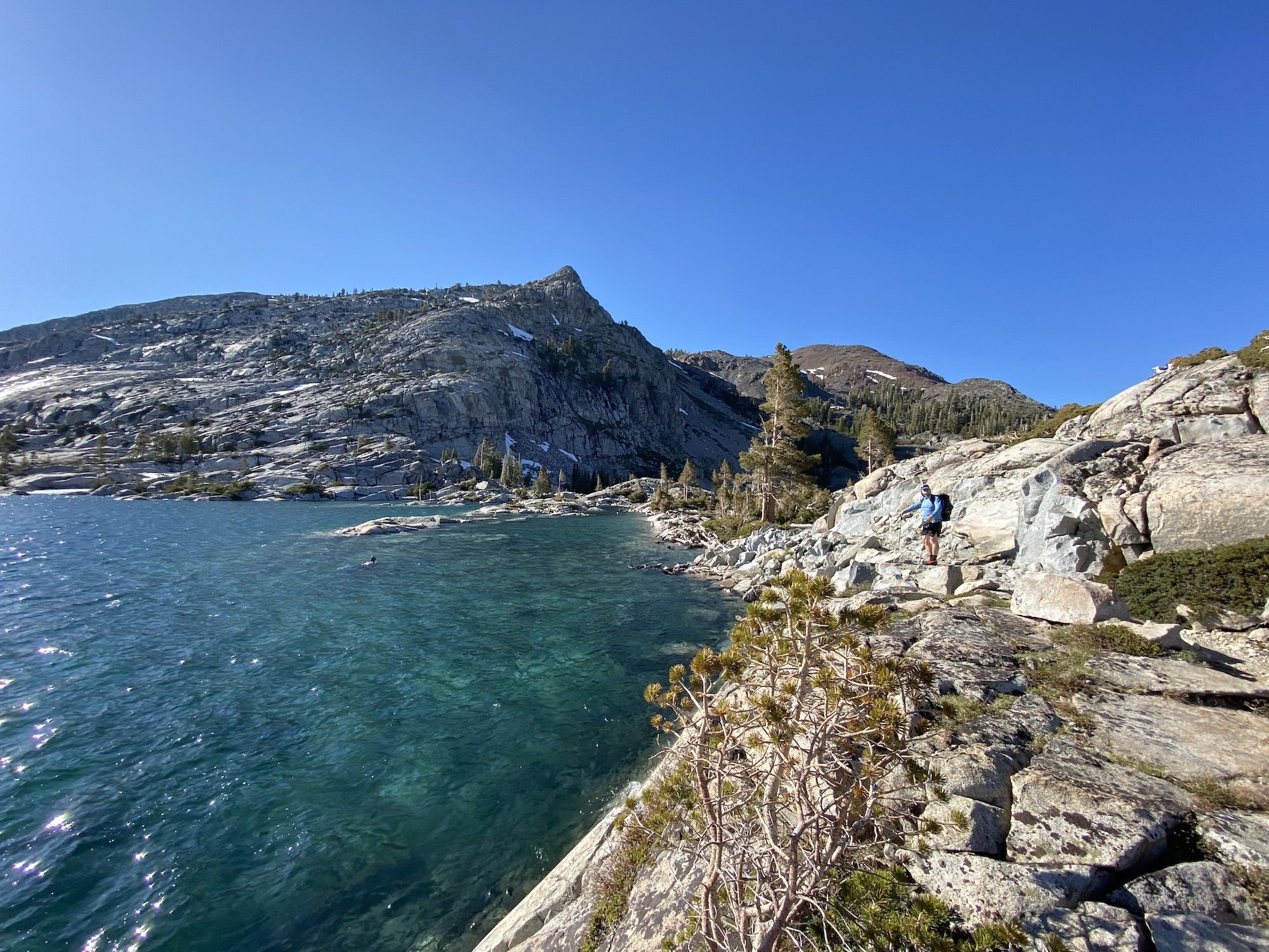
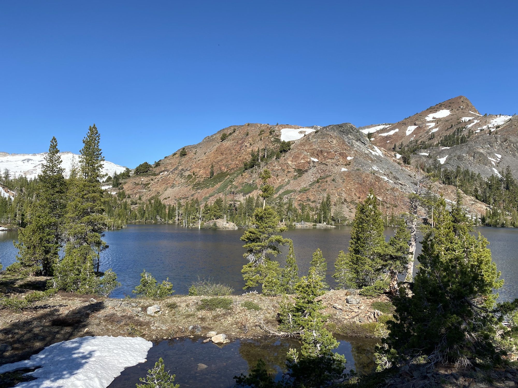
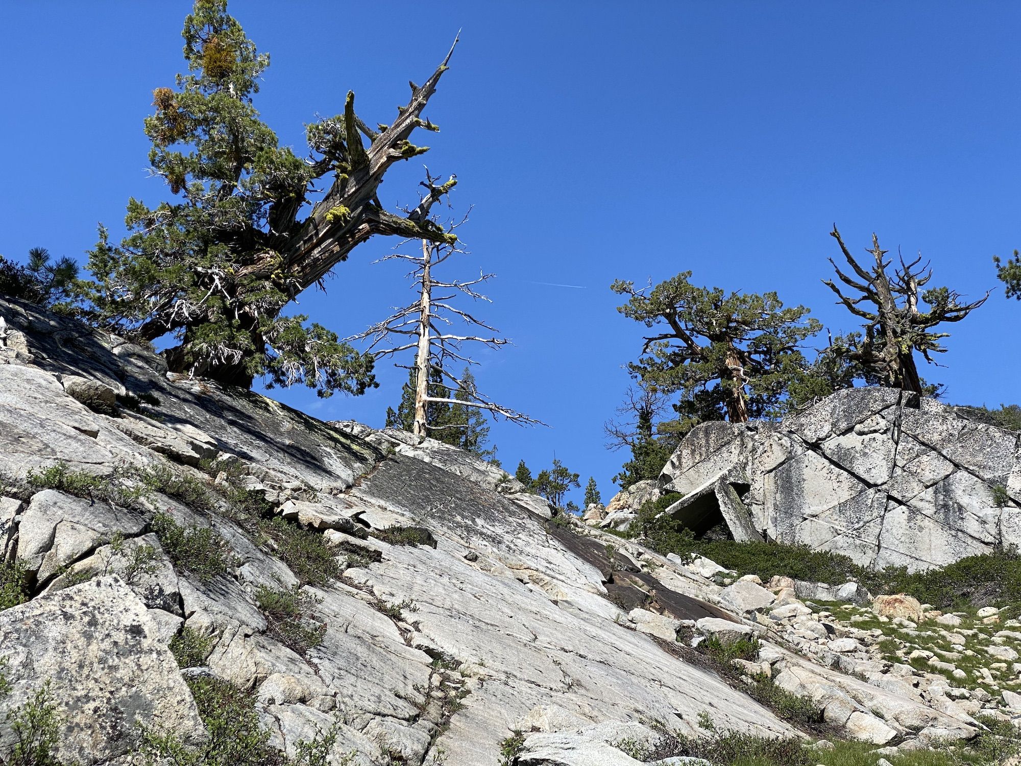
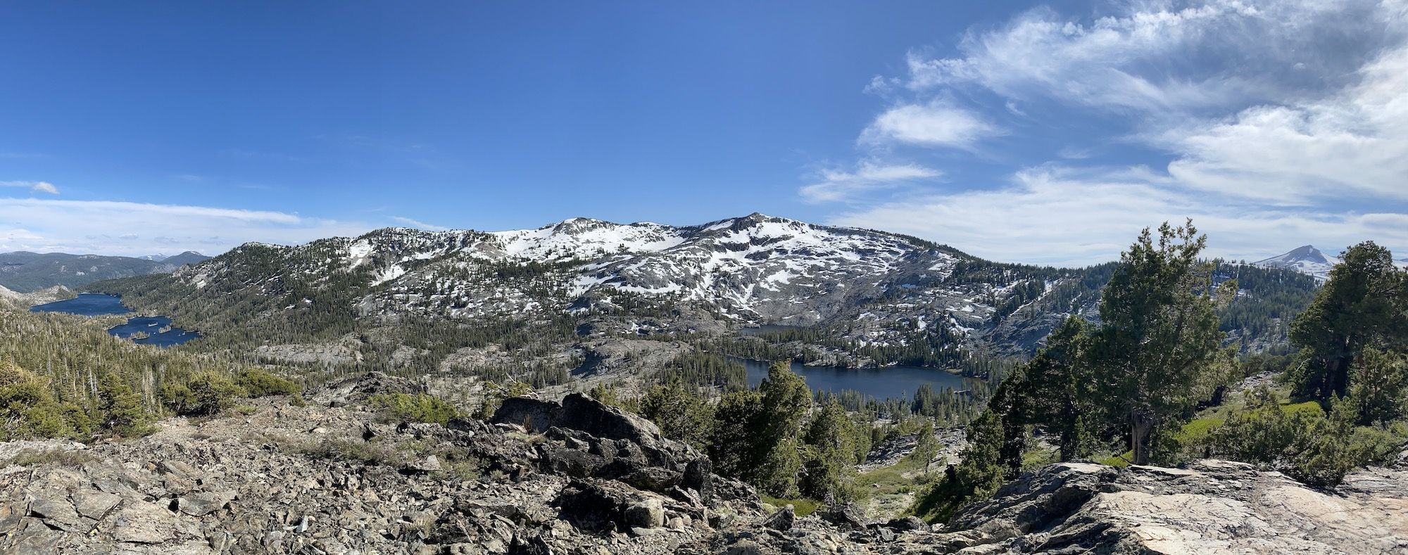
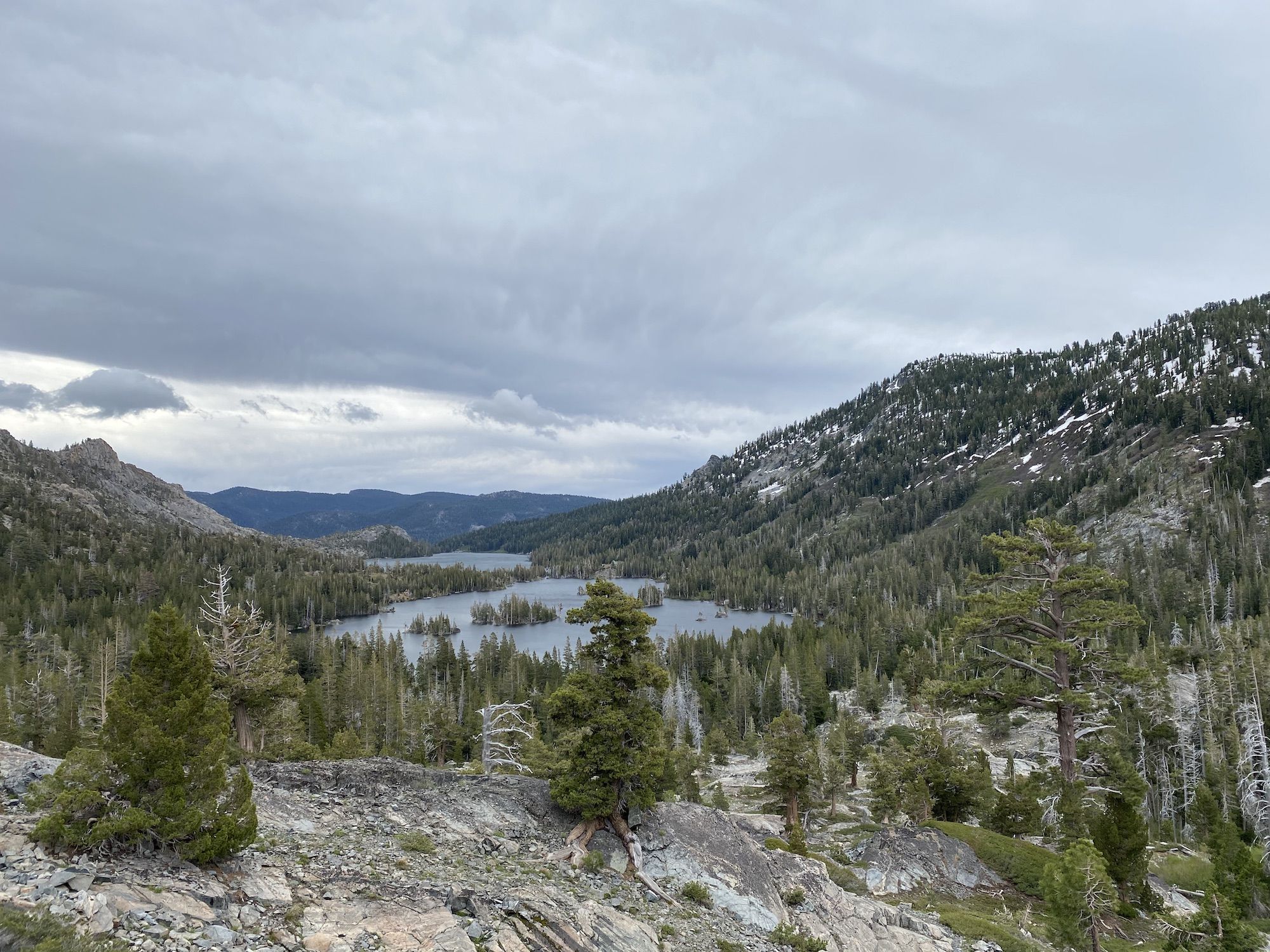
Lake Aloha is striking in the spring. The bare granite and snow backdrop makes the lake look even bluer if possible. The rocky shore always reminds me of the Finnish outer archipelago with its low vegetation and stunted pines.
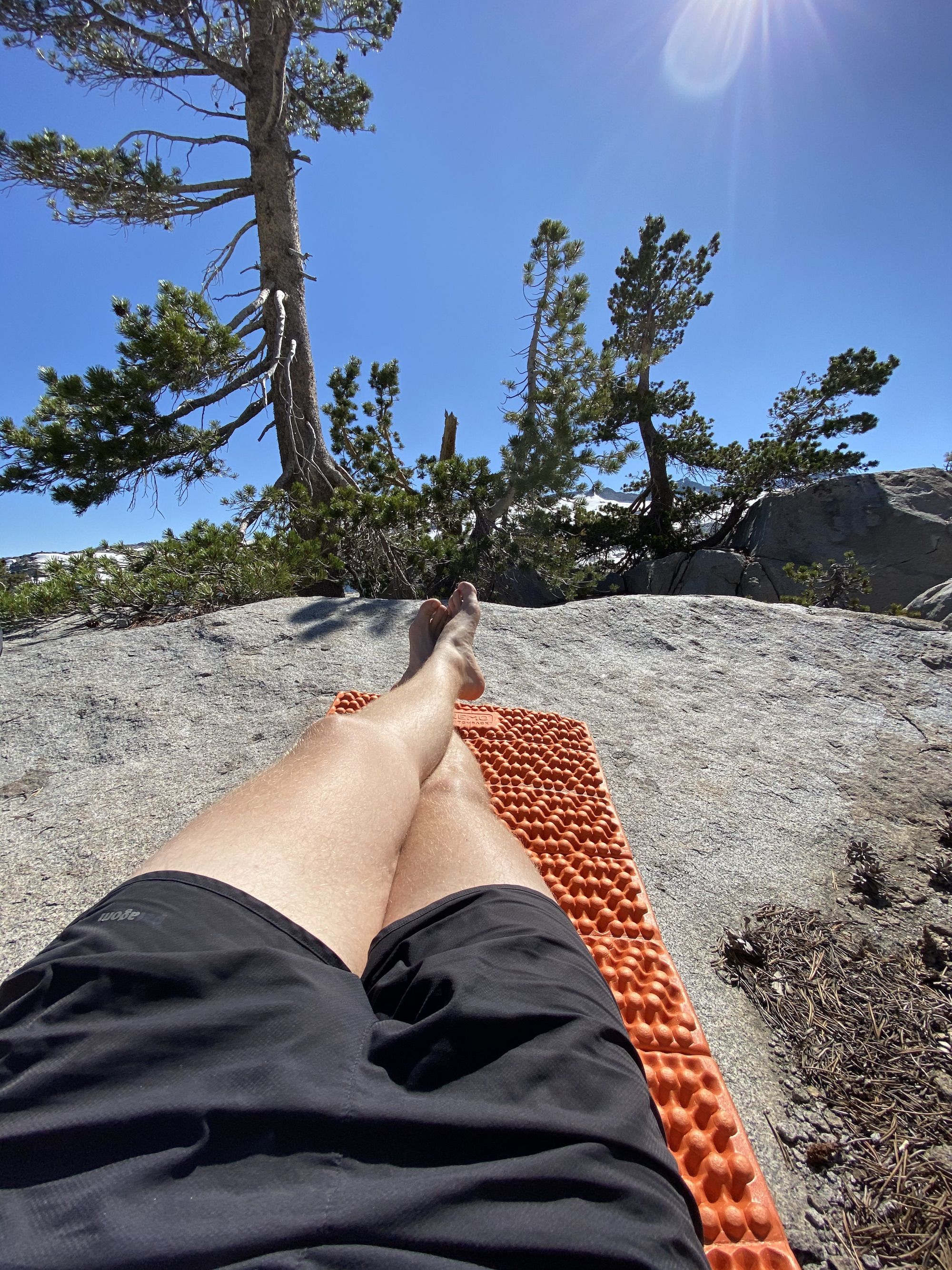
We laid down on the sunny rocks for a while to let our shoes dry out. Even with the breeze, the air was pleasantly warm, especially considering it was early June.
After our short break, we continued on toward our campsite for the night. The shore of Lake Aloha was still mostly covered in snow. We lost the trail a few times, but it was easy enough to follow the lake in the right direction until we rejoined the trail.
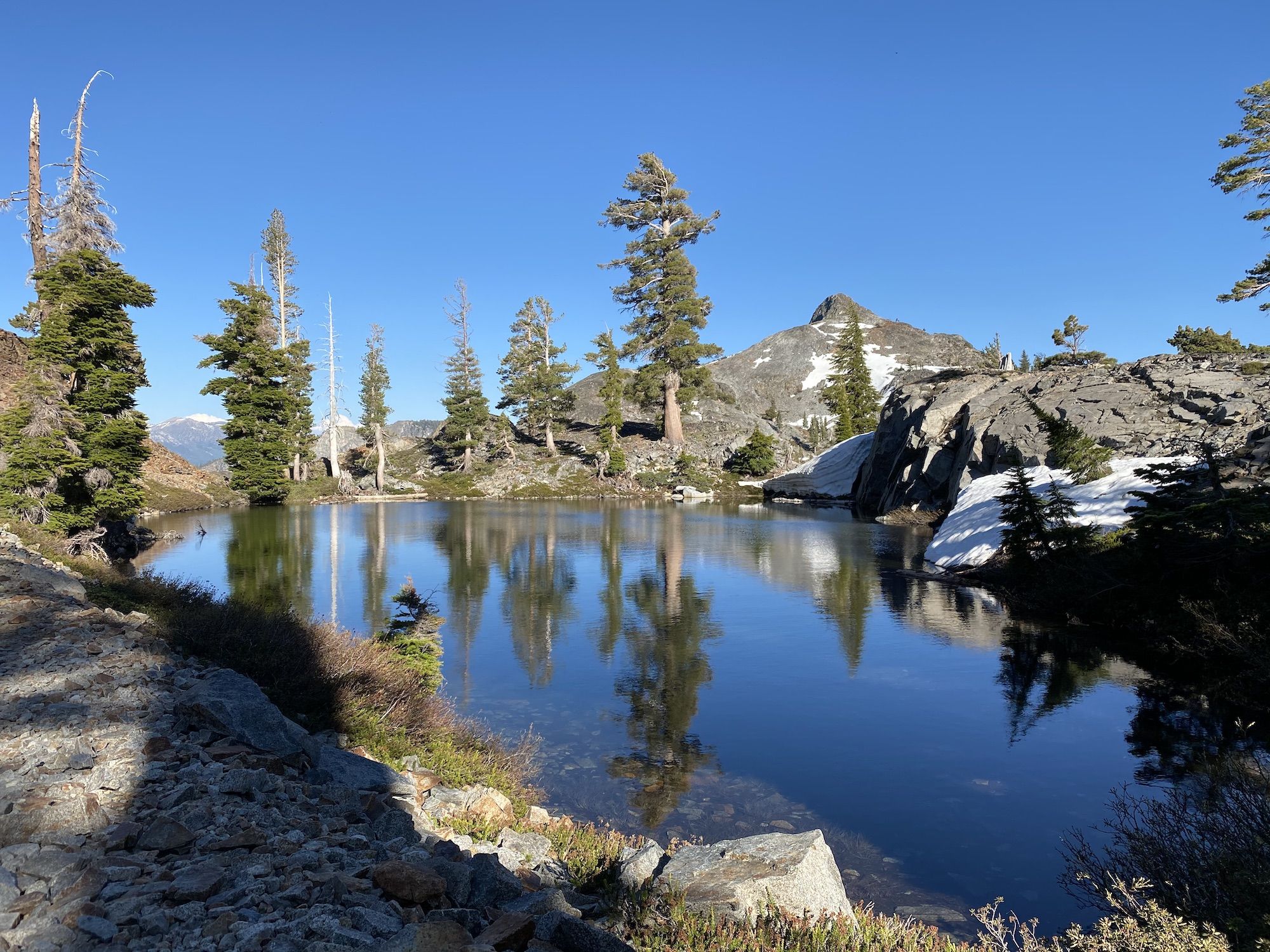
The geography changed as we started descending toward Heather Lake. The gray granite gave way to dark black and red-tinted rock. We navigated down the patchy snow and small meltwater streams without issue.
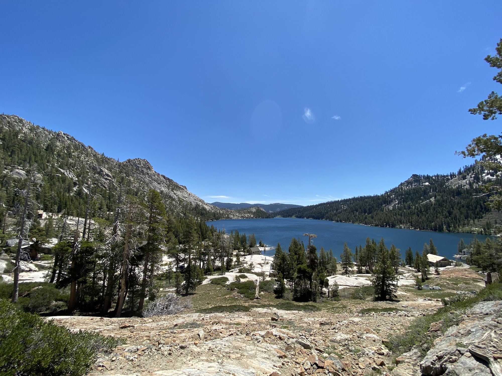
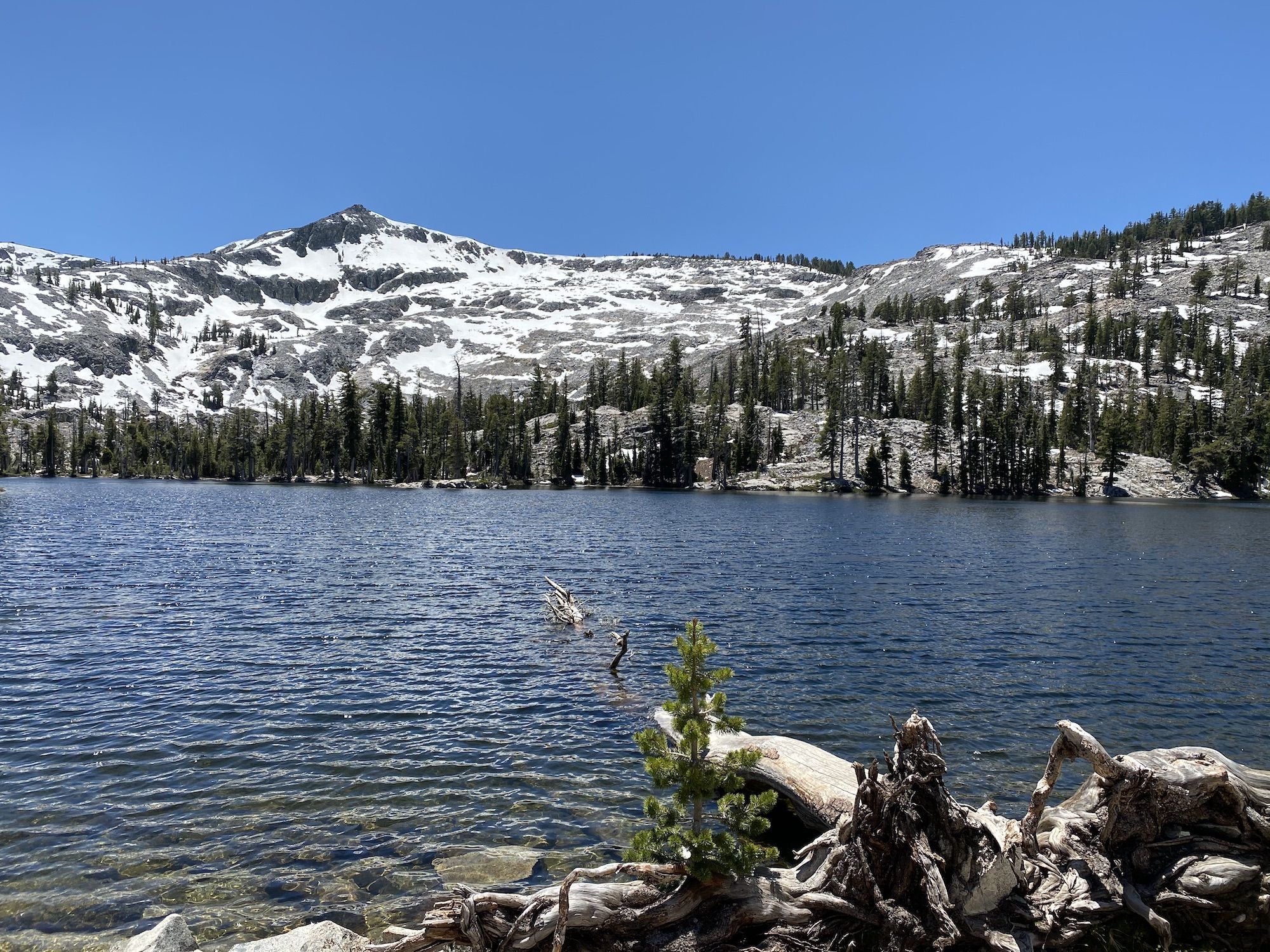
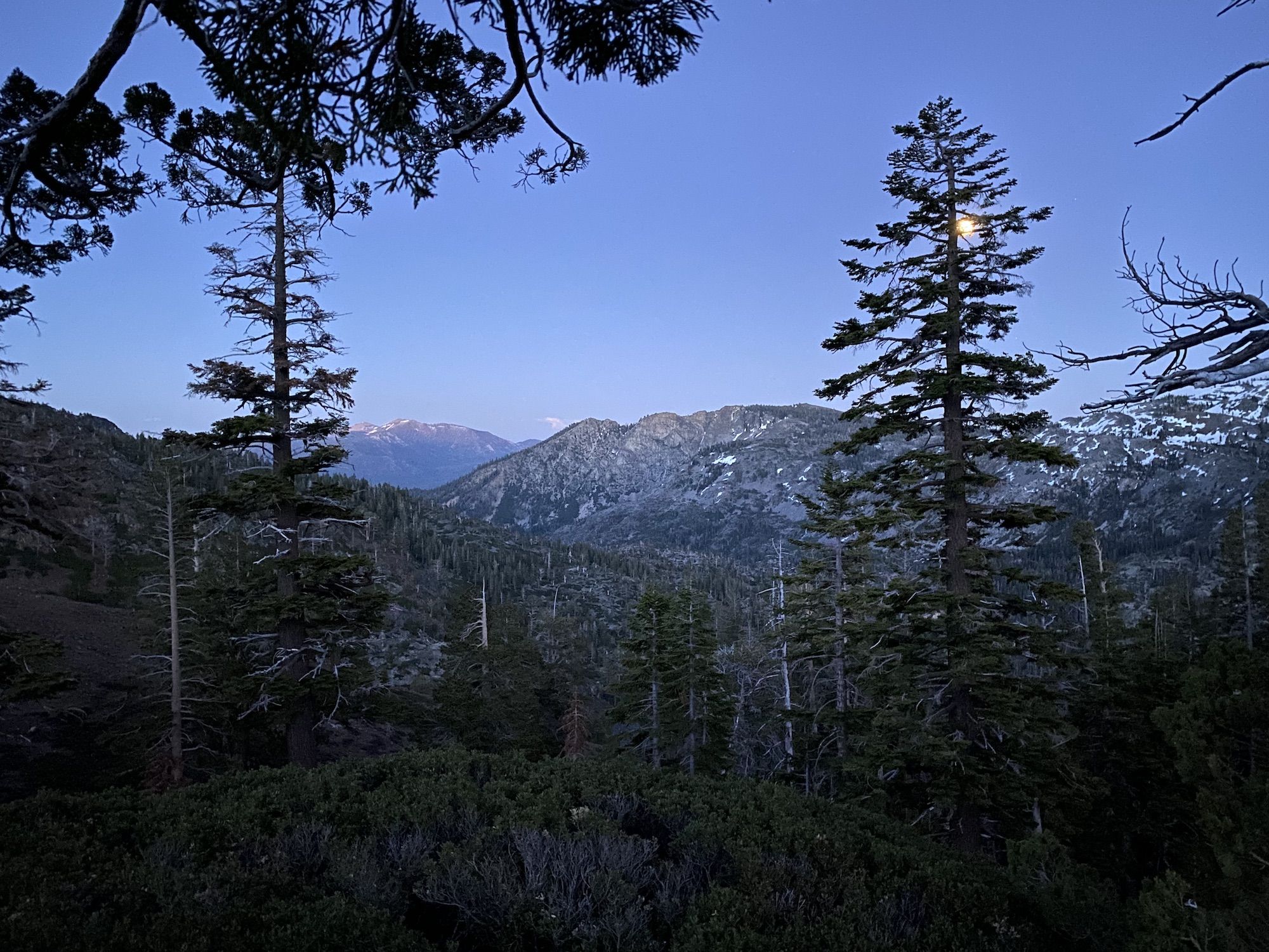
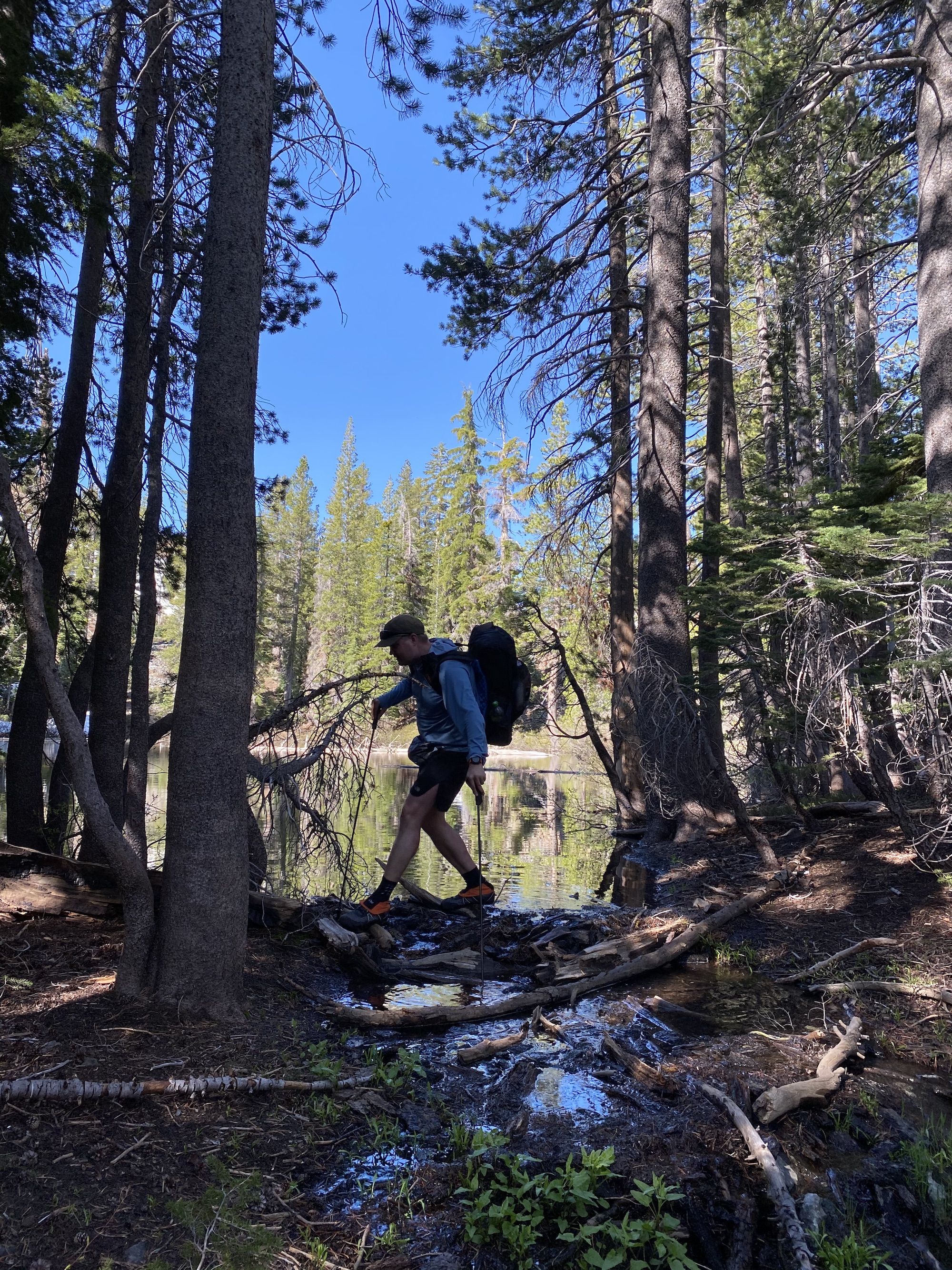
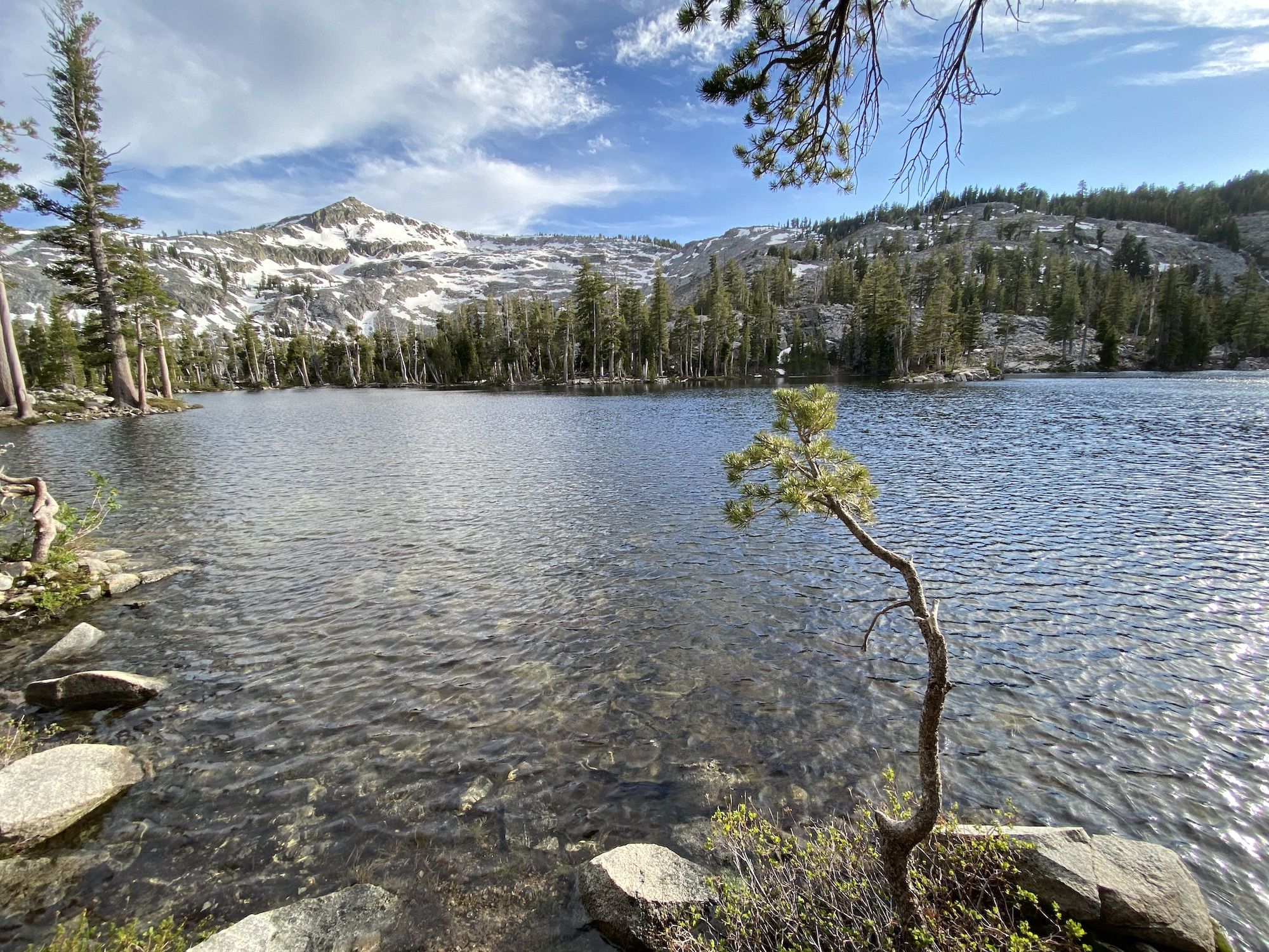
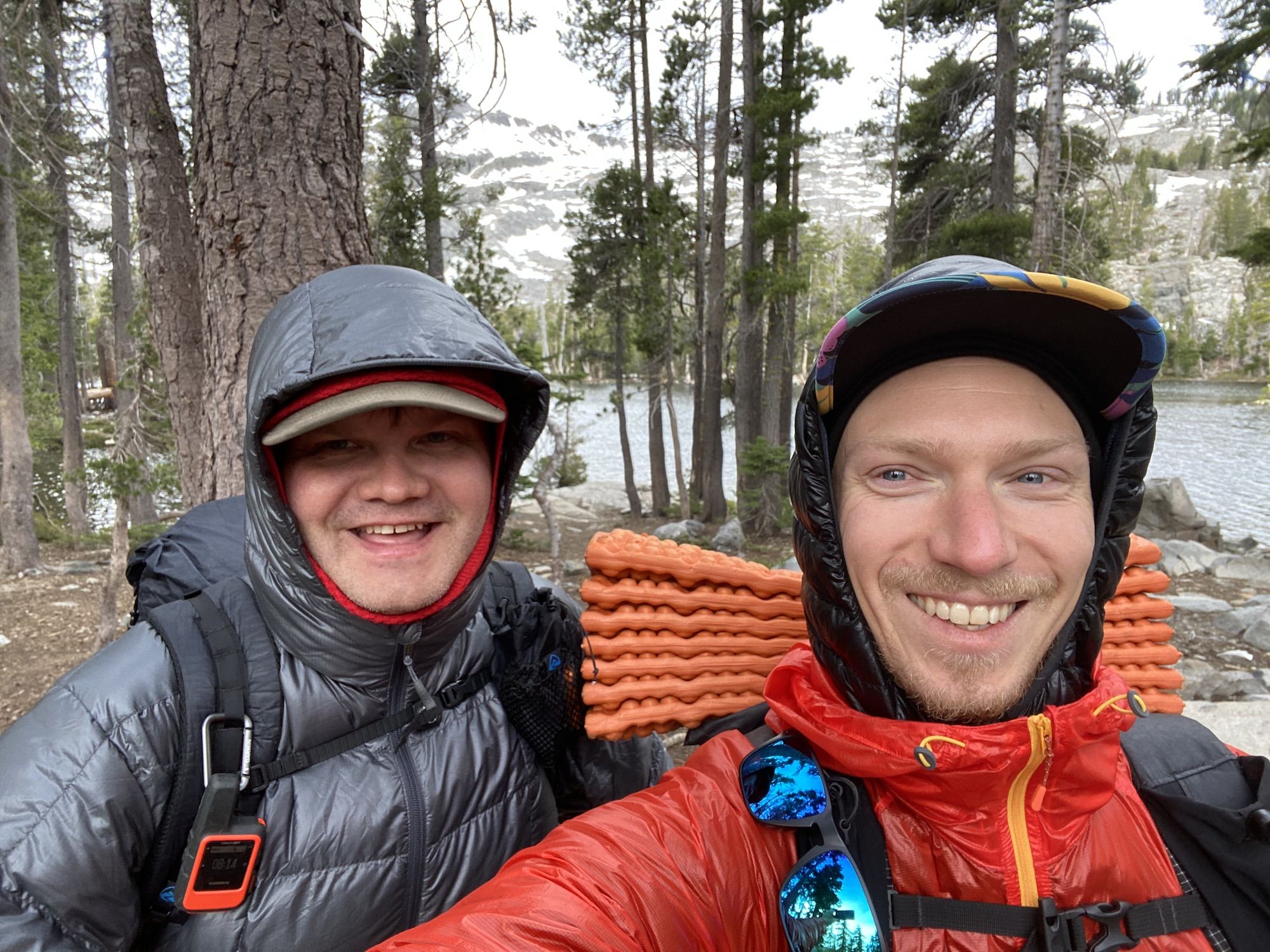
We arrived at Susie Lake as the sun was about to dip behind the mountains. The ground around the lake is very rocky, and there aren’t that many suitable campsites for tents. Fortunately, we were the only ones at the lake, so we had no trouble finding a couple of flat spots to set up our camp.
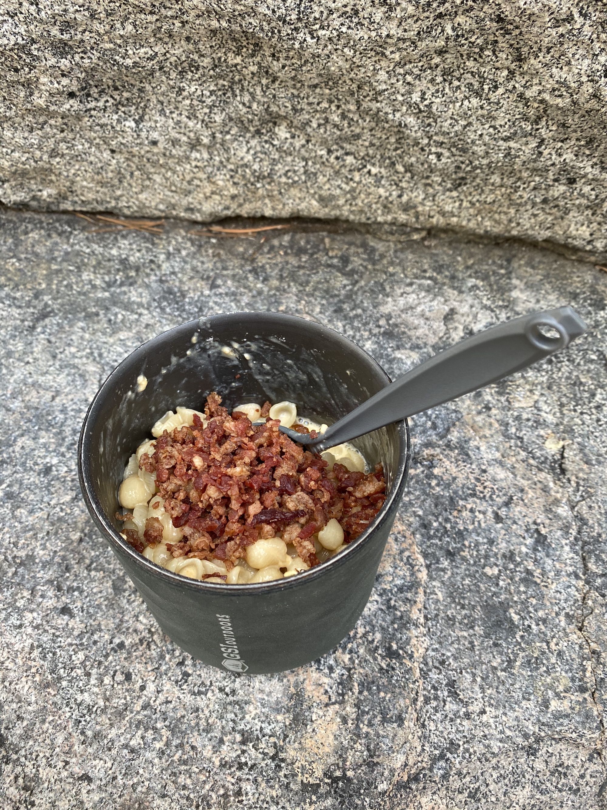
We cooked dinner by the lakeshore, watching the light fade. Both of us were tired after a long day of driving and hiking, so we called it a night early and went to bed around 9.
Day one stats: 10.6 miles. 1,560 ft elevation gain.
Day 2: Susie Lake to Tamarack Lake via Glen Alpine
The night was surprisingly warm. Warmer than most summer nights in the mountains. Even though I had one of the most comfortable campsites in a long time, I wasn’t able to get a good night’s sleep. For whatever reason, I never sleep well the first night I’m up at altitude.
The sun hit our campsite as we made breakfast, forcing us to shed layers down to shorts within minutes. We packed up and headed out.
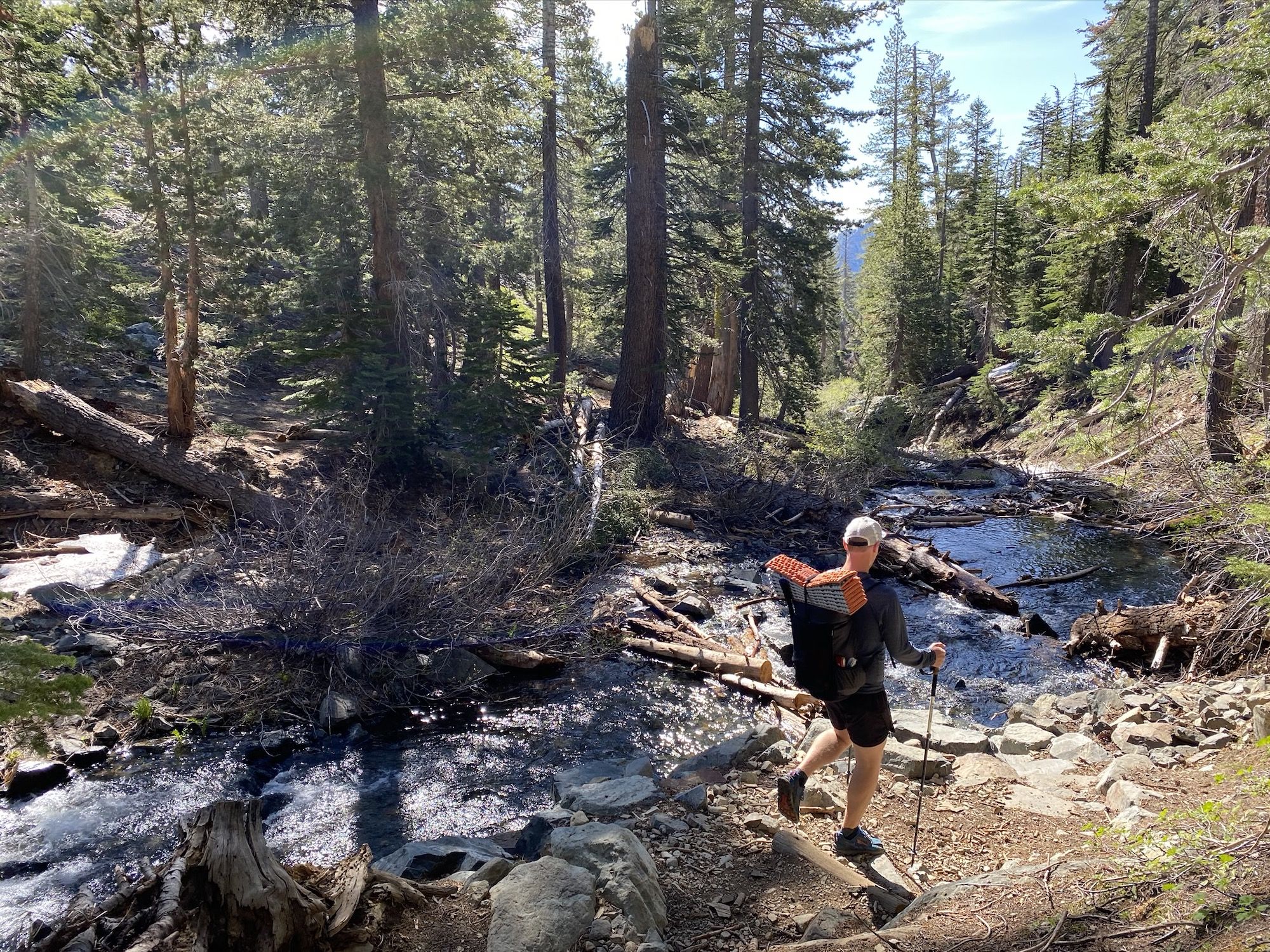
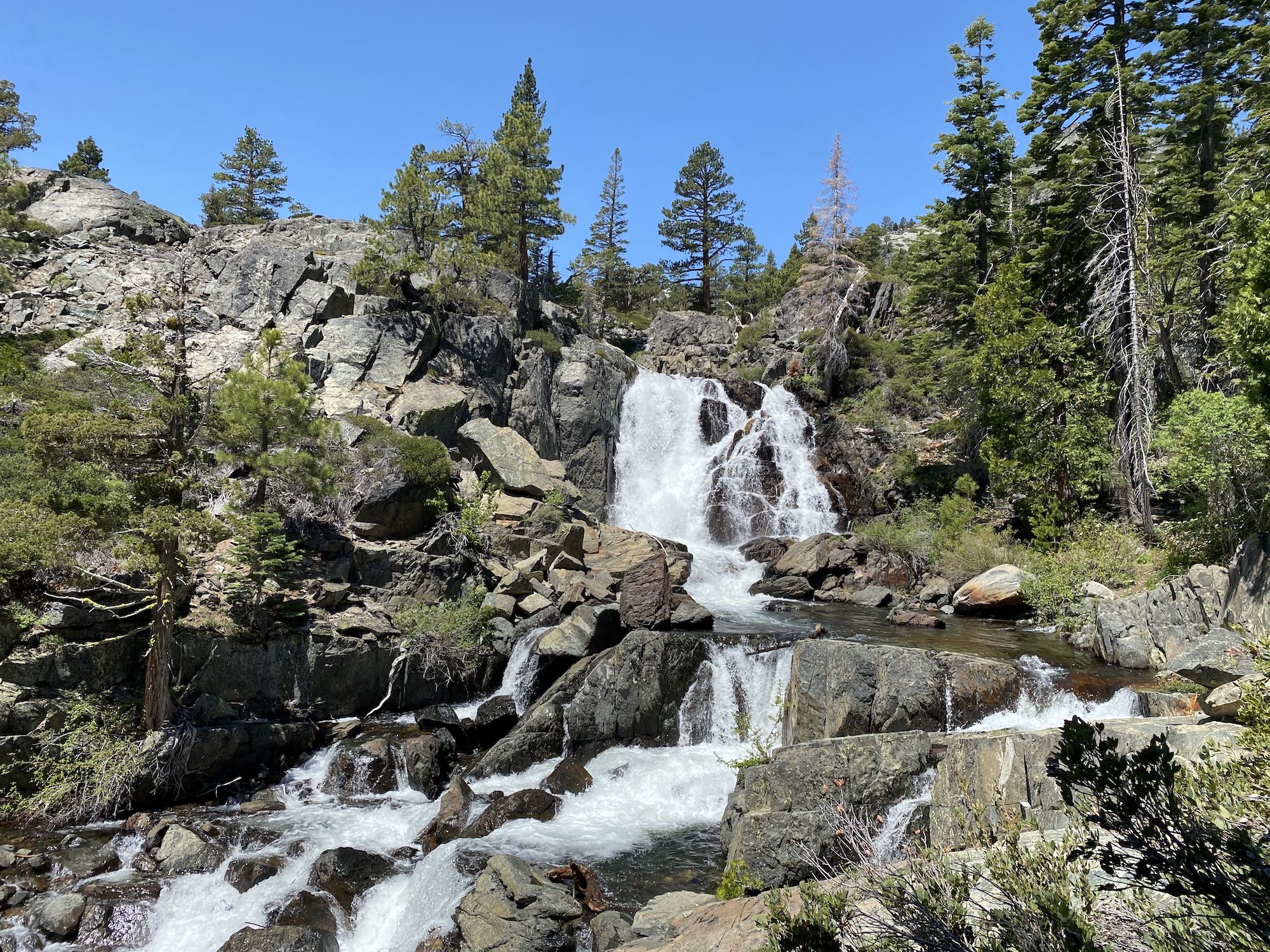
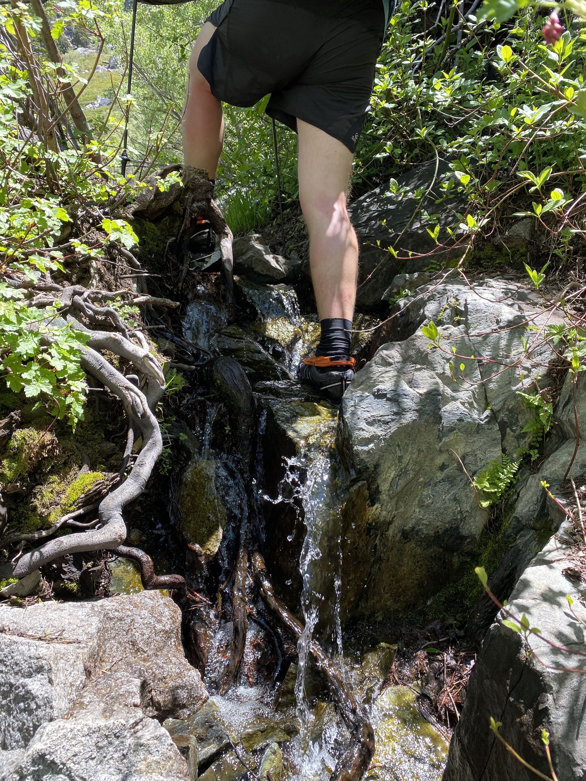
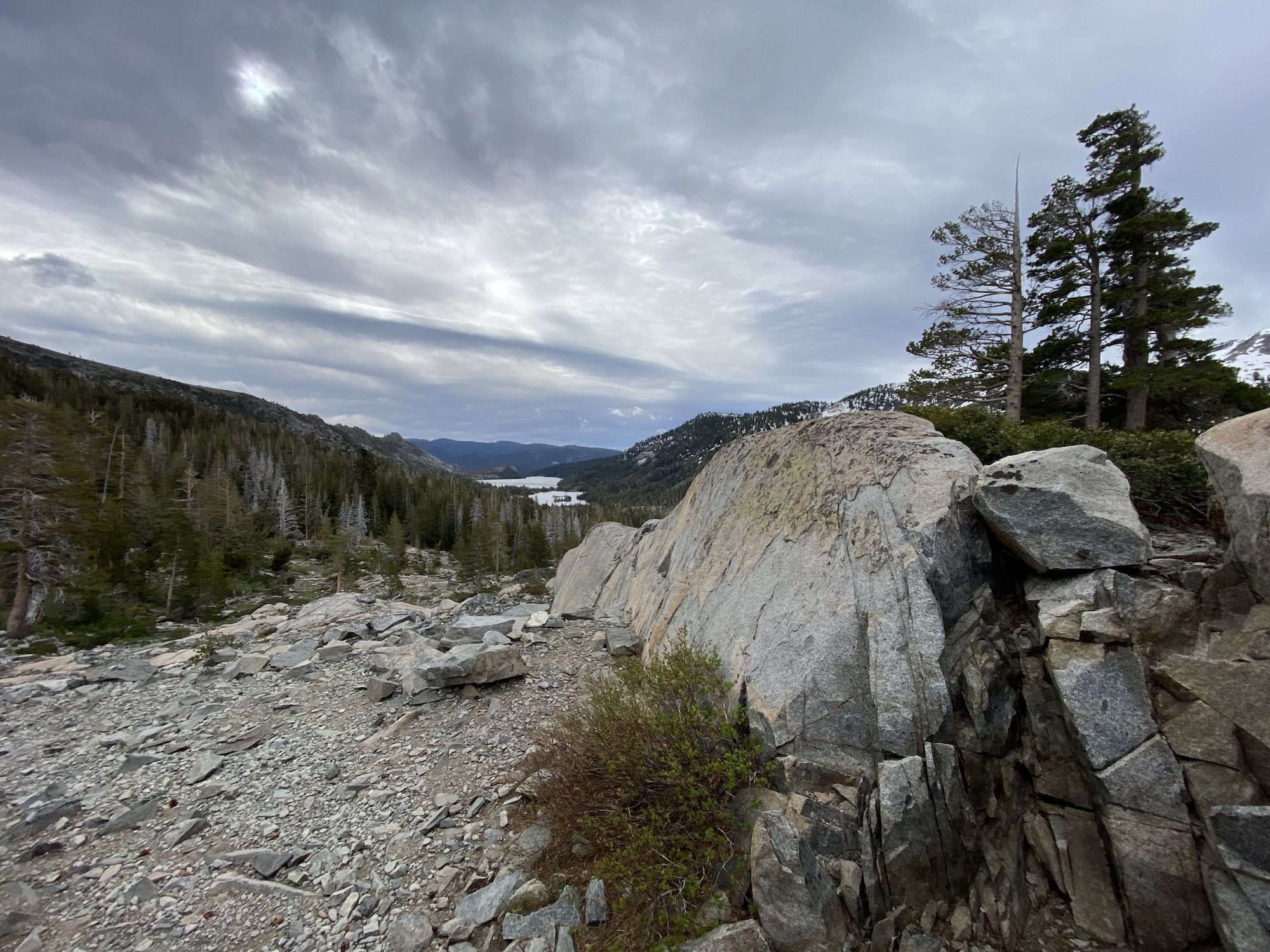
After a short while on the PCT, we turned right and headed down toward Glen Alpine. The trail followed a stream that grew more significant as we descended. Initially, we were in a thick forest, but soon enough, the views started opening up. We could already see the opposite side of the valley that we would be climbing to get back to Desolation.
We passed Glen Alpine Springs, an old resort built around a bubbling spring in the ground.
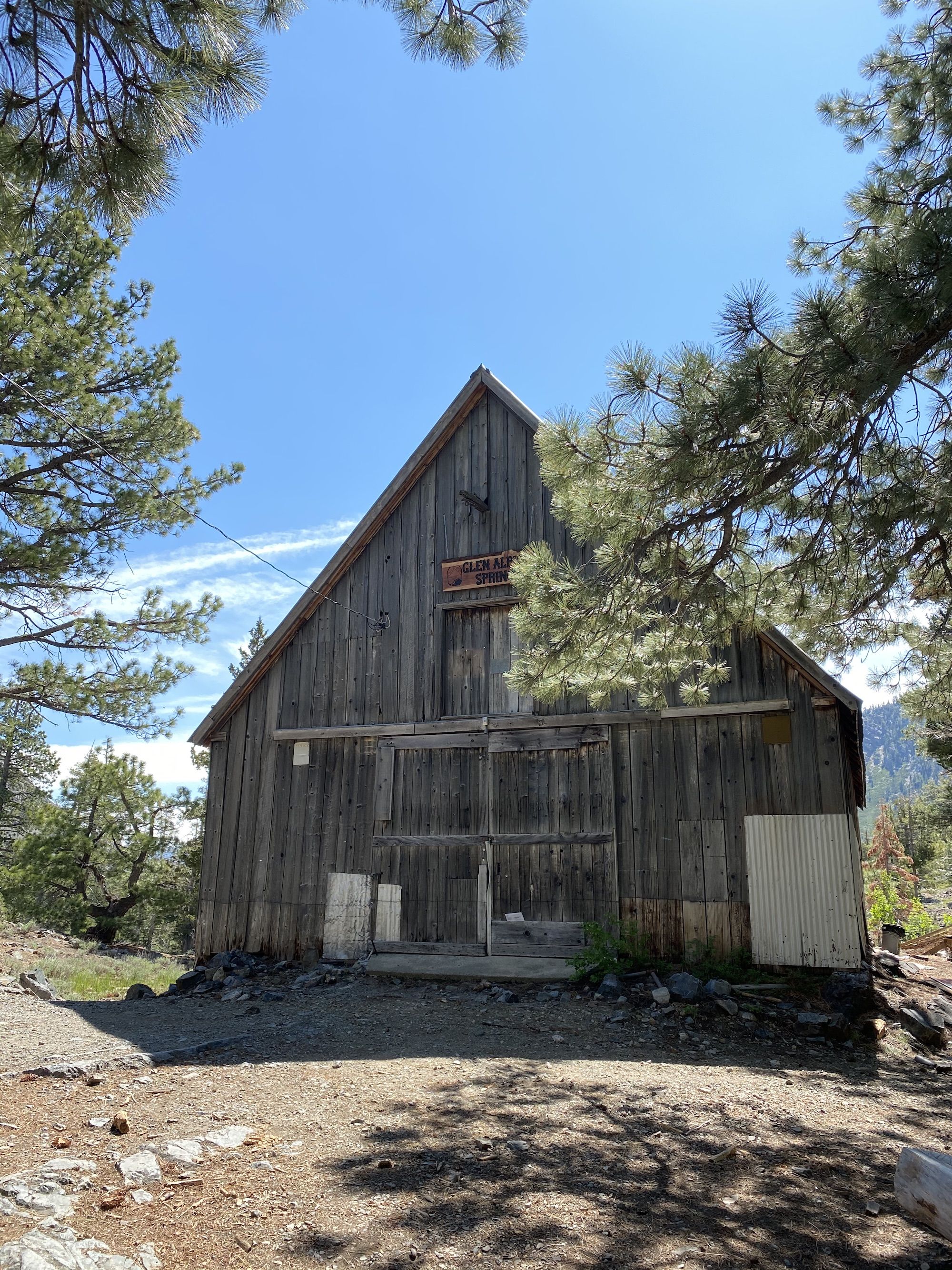
It felt odd being back in civilization in the middle of a hike. We took advantage of the situation by using the restrooms at the trailhead, then quickly continued.
We’d met a man by the spring who told us that the trail we were planning to take hadn’t been maintained for a while. Initially, we thought he must have been mistaken as the path was in good shape and even had a new trail sign. But soon enough, the trail turned into a serious bushwhack through willow and alder thickets.
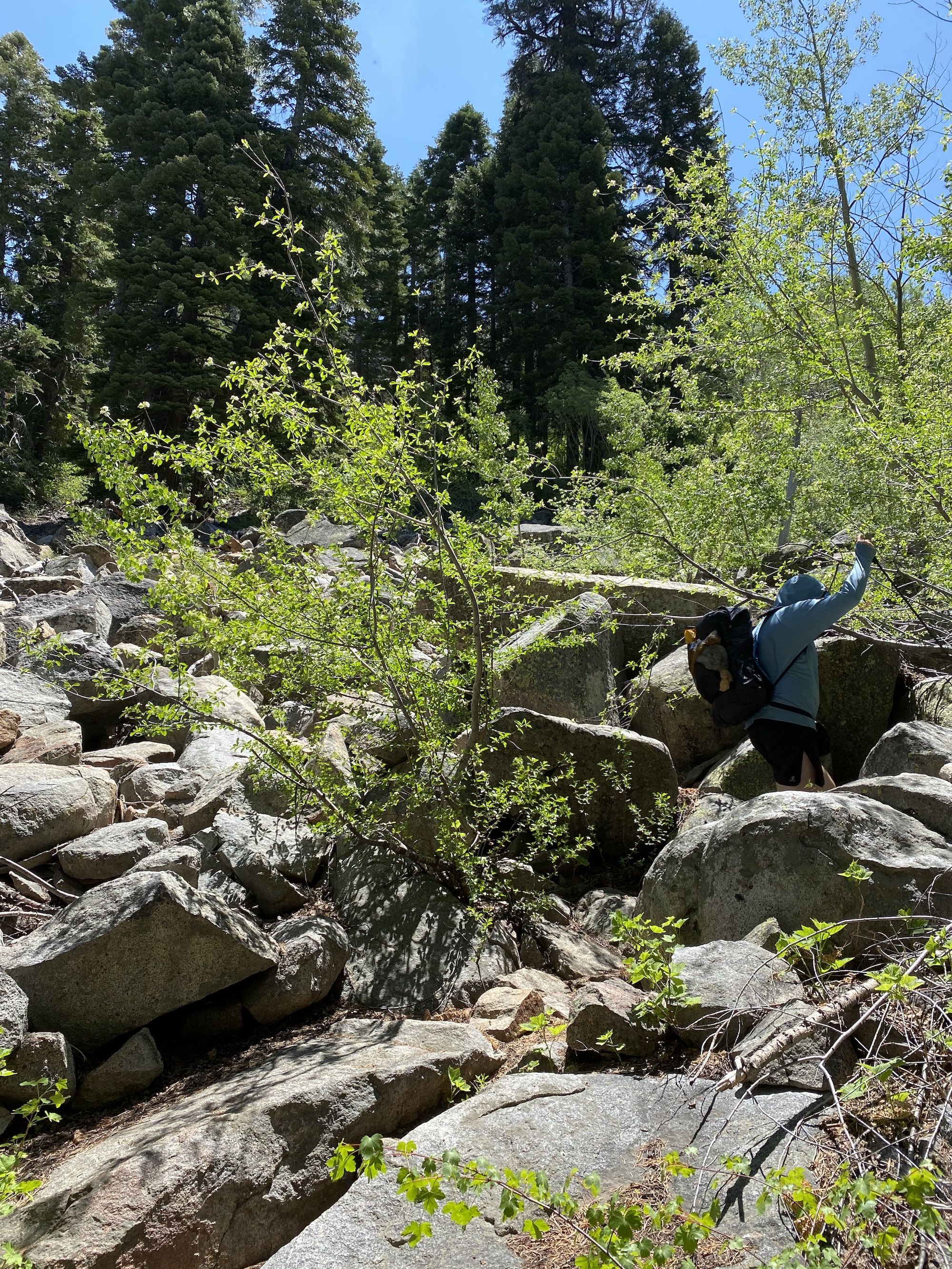
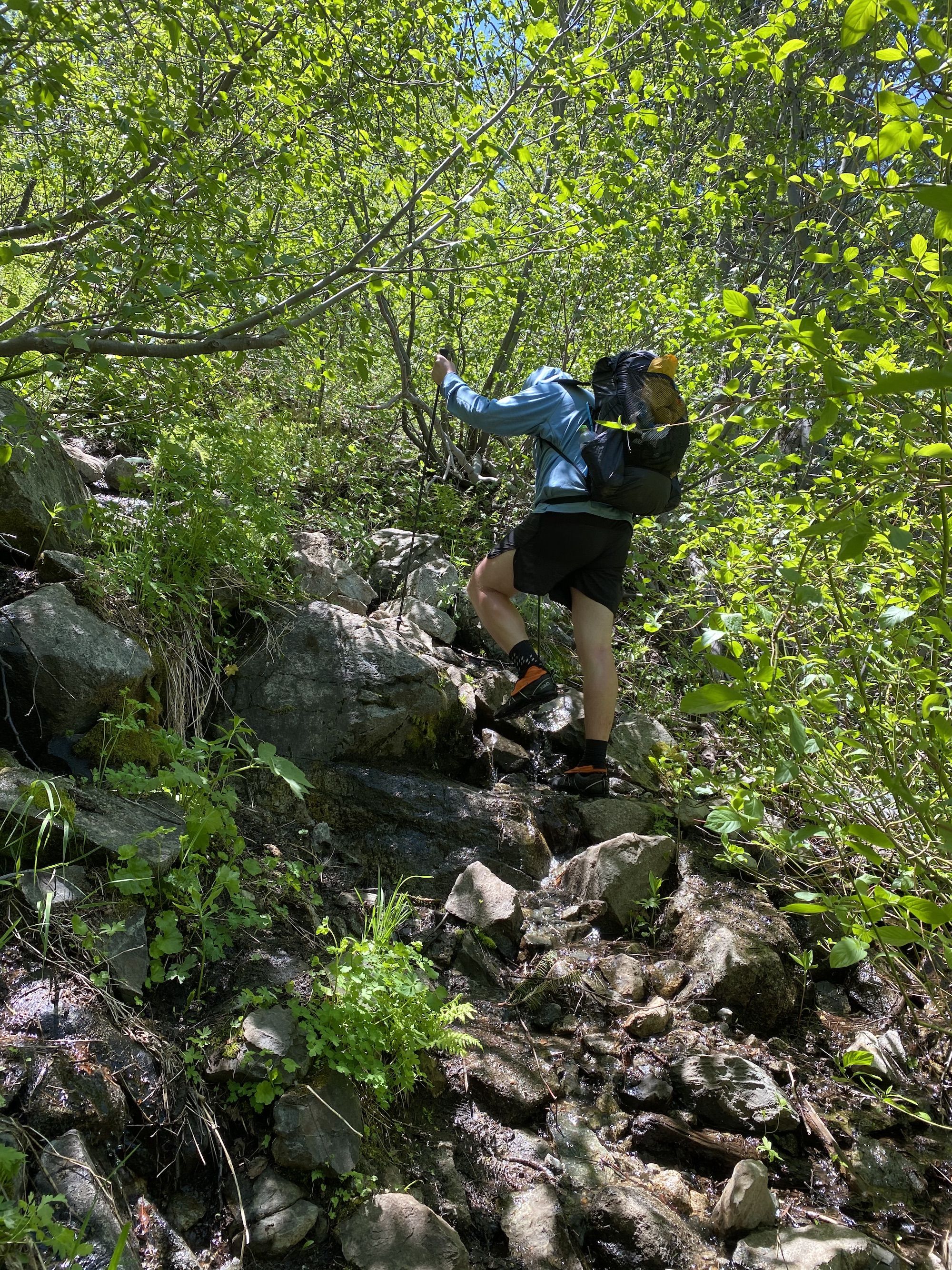
Unlike all the other trails we’d been on, the Tamarack Trail wasn’t graded for equestrian use. It was significantly steeper and even required us to use our hands to climb at times.
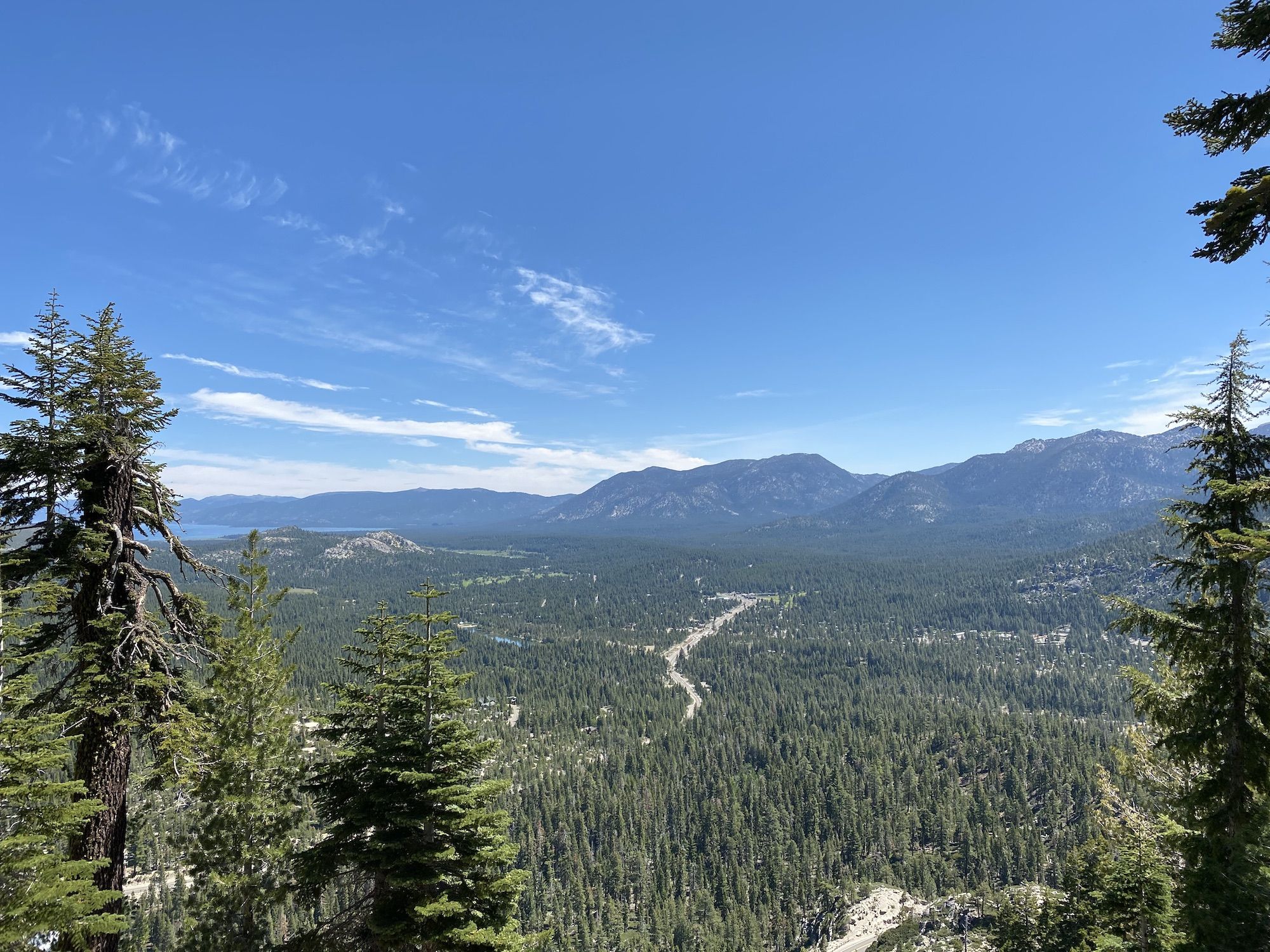
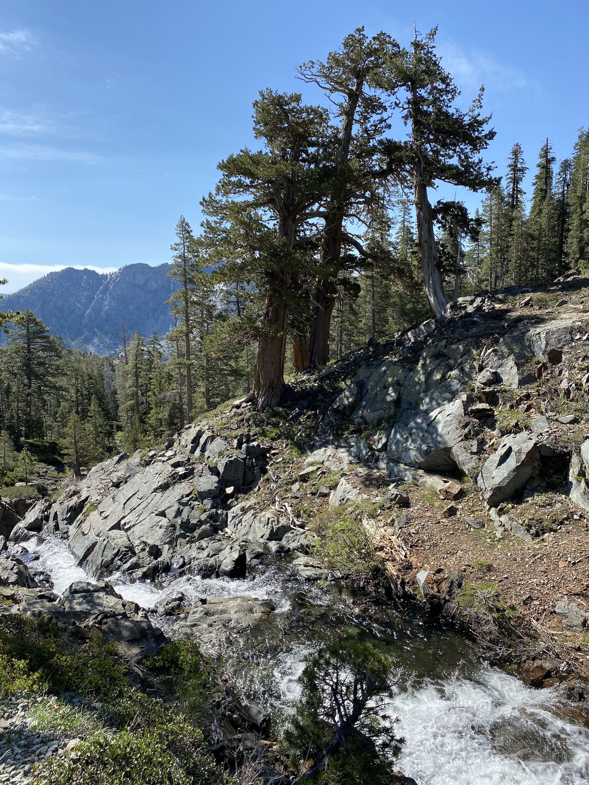
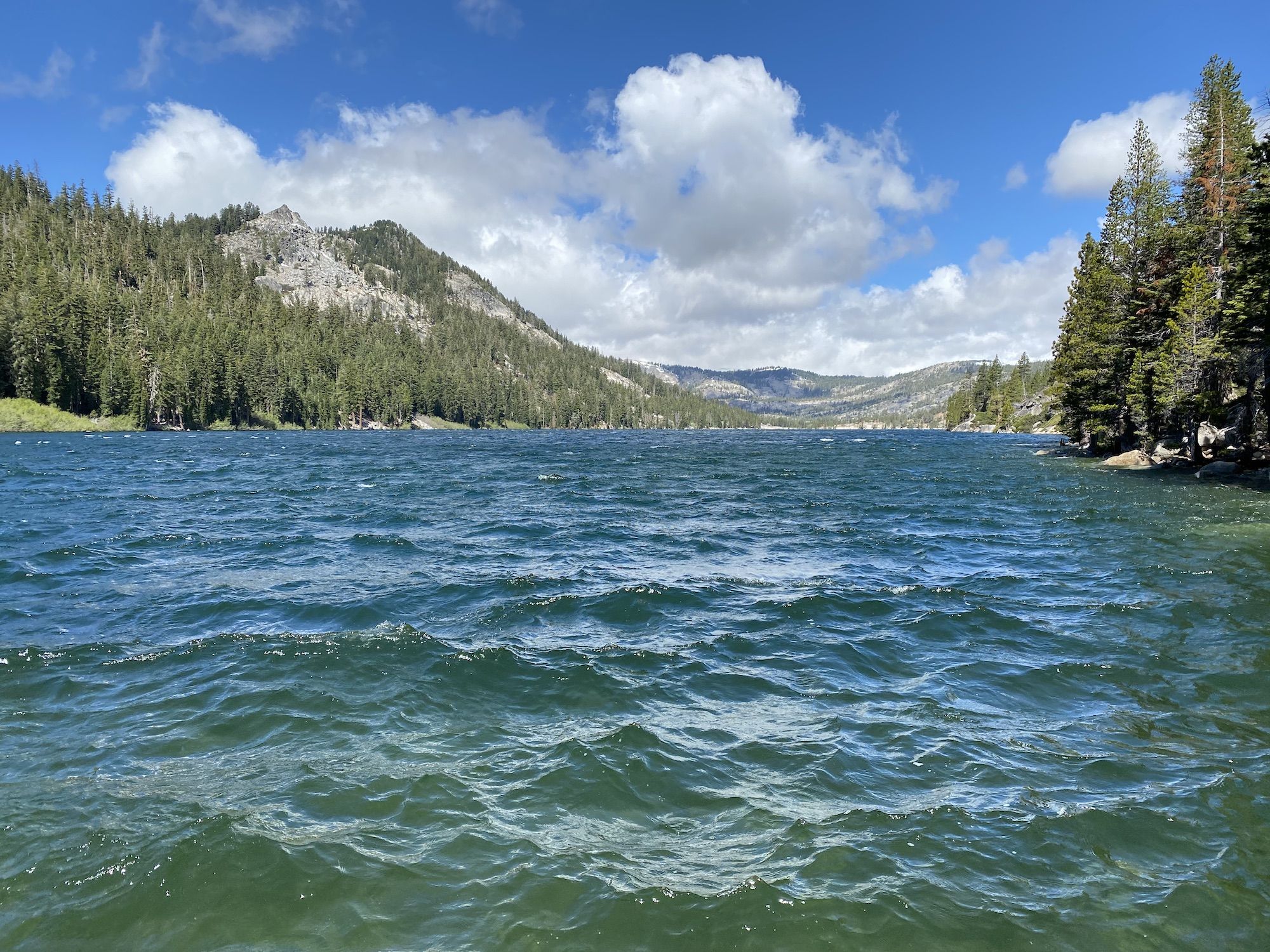
But the views were amazing. We could see Fallen Leaf Lake and Lake Tahoe behind us, with tall mountains on either side.

We stopped for lunch halfway through the climb. Rested and full of calories, we climbed over the pass. From the top of the pass, we still had a little over a mile to our campsite. We followed the Tamarack Trail all the way back to the PCT.
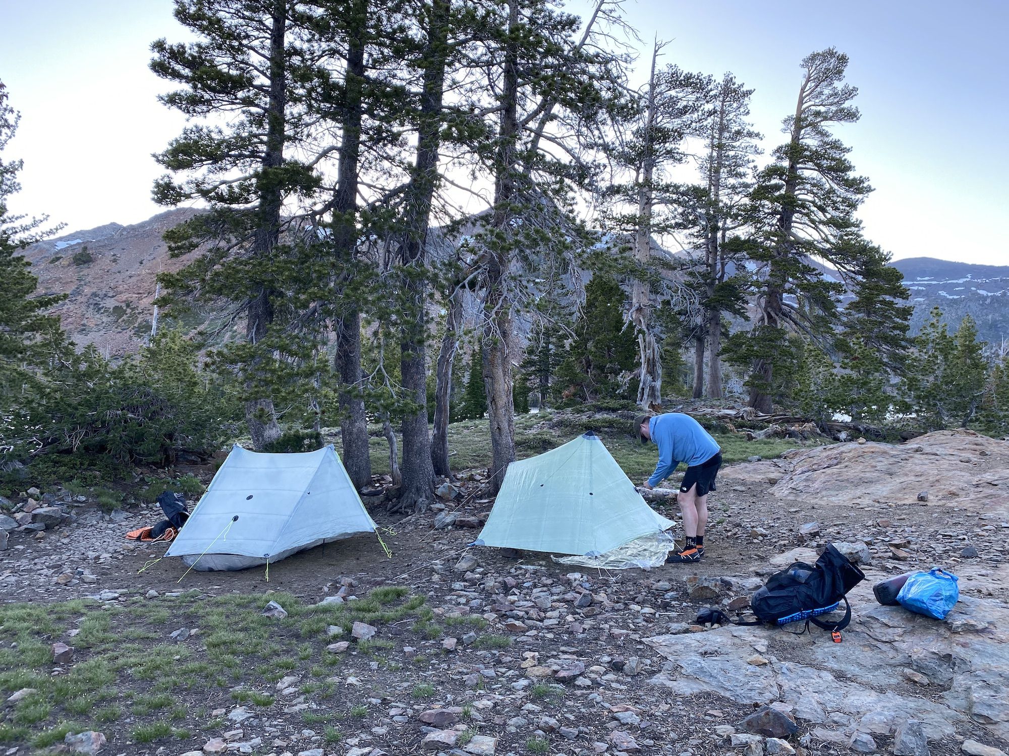
From the PCT intersection, we only had a short 20 minute downhill stroll to get to our campsite. There were already more than 10 tents spread around the wooded area on the east side of the lake. Not exactly the wilderness experience we had the previous night, but it would do. We found two somewhat sheltered spots for our shelters and set them up before starting to make dinner.
The wind was gusty and kept changing direction. We tried to secure our shelters the best we could, hoping they’d hold up during the night. Cooking was a challenge as the wind tried to extinguish our stoves. Using some rocks and sleeping pads to block the wind, we were able to get some water boiled for a nice, warm dinner.
The cold wind made us retreat into the relative warmth of our tents before the sun had fully set. Both of us were tired anyway after sleeping poorly the night before, so we fell asleep early.
Day two stats: 9.1 miles. 2,160 ft elevation gain.
Day 3: Tamarack Lake to Echo Lakes trailhead
We’d been woken up several times by strong wind gusts. The wind was still for minutes, then all of a sudden, you could hear the wind pick up in the treetops. A few seconds later, the gust hit the tent like a semi-truck. My tent held up ok, although I did tighten the lines once. My friend’s tarp caught a gust, and two of his stakes flew out in the dark forest. He had to use rocks to set it up for the rest of the night.
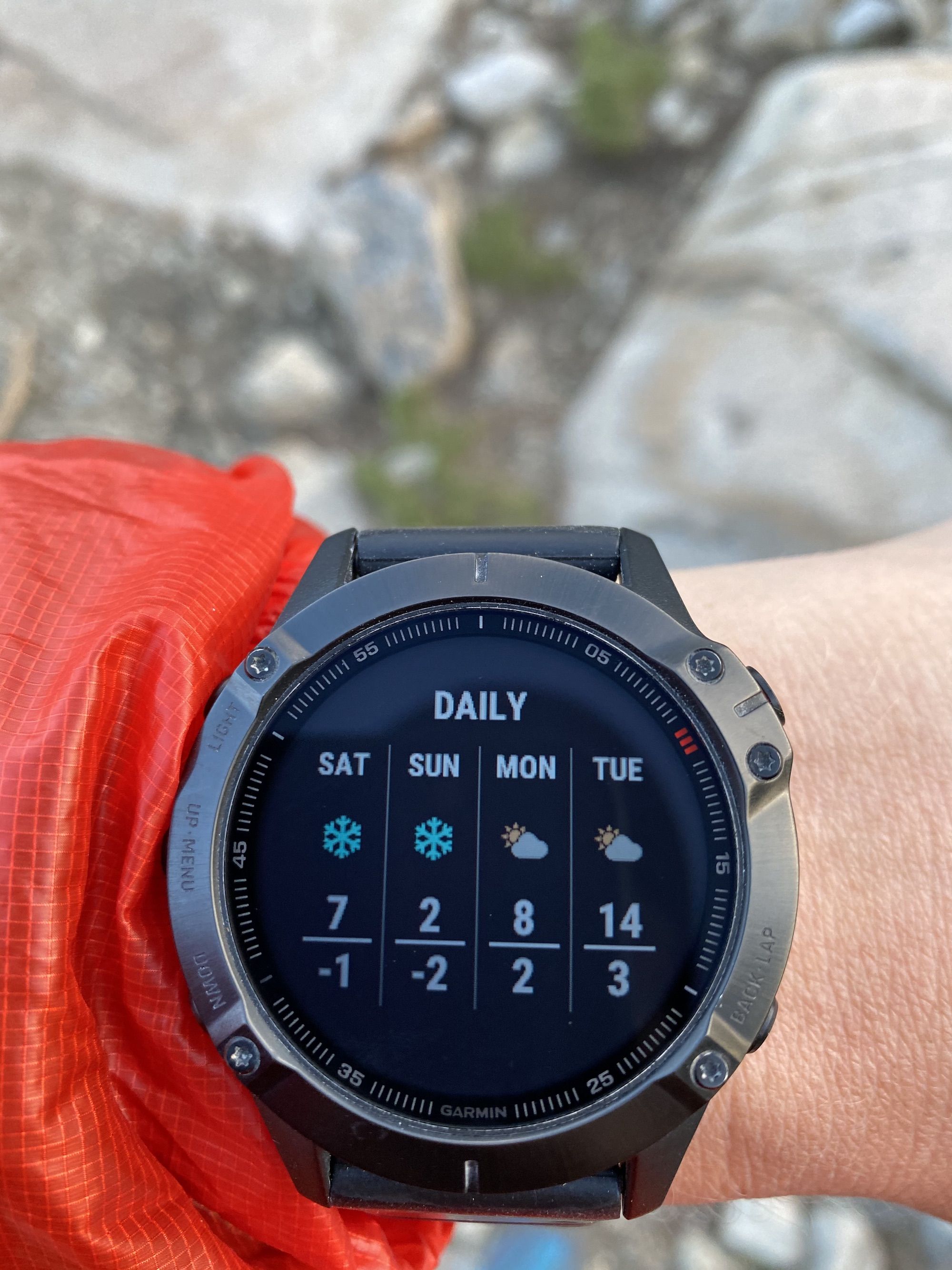
The morning was cold and windy. We had a quick breakfast before we started hiking back to the car. The weather report called for high winds and snow down to 7000ft later that day, so we were happy to head out.
We had the wind at our back the whole way back to the trailhead. The sun even came out as we approached the car.
Both of us were super happy with the trip. Even though it was very last minute, we got to see and experience some top-notch alpine landscapes and enjoy nature.
Day three stats: 4.1 miles. 570 ft elevation gain.