Backpacking to Pacheco Falls in Henry Coe
A 27-mile overnight backpacking trip to Pacheco Falls in Henry Coe State Park in California. This hike is best to do during the cooler months of the year.
Henry Coe is one of the largest state parks in California Less than an hour from the South Bay Area, it’s a great place to get out in nature without having to drive too far. I often don’t run into more than one or two other hikers on a long weekend trip.
I wanted to go on a last-minute overnight trip because I’m traveling the next couple weekends and wanted to get some trail miles and test gear ahead of the JMT. I found a loop on AllTrails that was about the length I wanted to do and that was in a part of the park I hadn’t explored before.
Day 1
I arrived at the Hunting Hollow parking lot around 9am on Friday. There were only four or five other cars on the big lot. I filled in the self-registration and headed off.
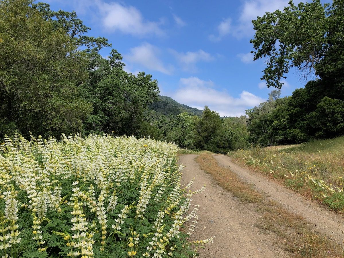
The trail starts with a two-mile road walk along Coyote Creek. The sides of the road were full of wildflowers, and the creek was still going strong. The road was very lightly trafficed, I only saw two cars on the entire stretch.
At the end of the road, I entered Henry Coe park at the Coyote Creek entrance and continued along a dirt road for another few miles.
I accidentally walked a half mile past the junction to Anza Trail as I was too busy checking out the wildflowers. Finally, I noticed that I was way closer to the creek than I should have been and backtracked.
Anza trail was a single track trail that went through tall grass. Henry Coe is notorious for its ticks, so I put on a pair of pants on top of my shorts before continuing. I had treated both my pants and shirt with Permethrin the day before to guard against the ticks.
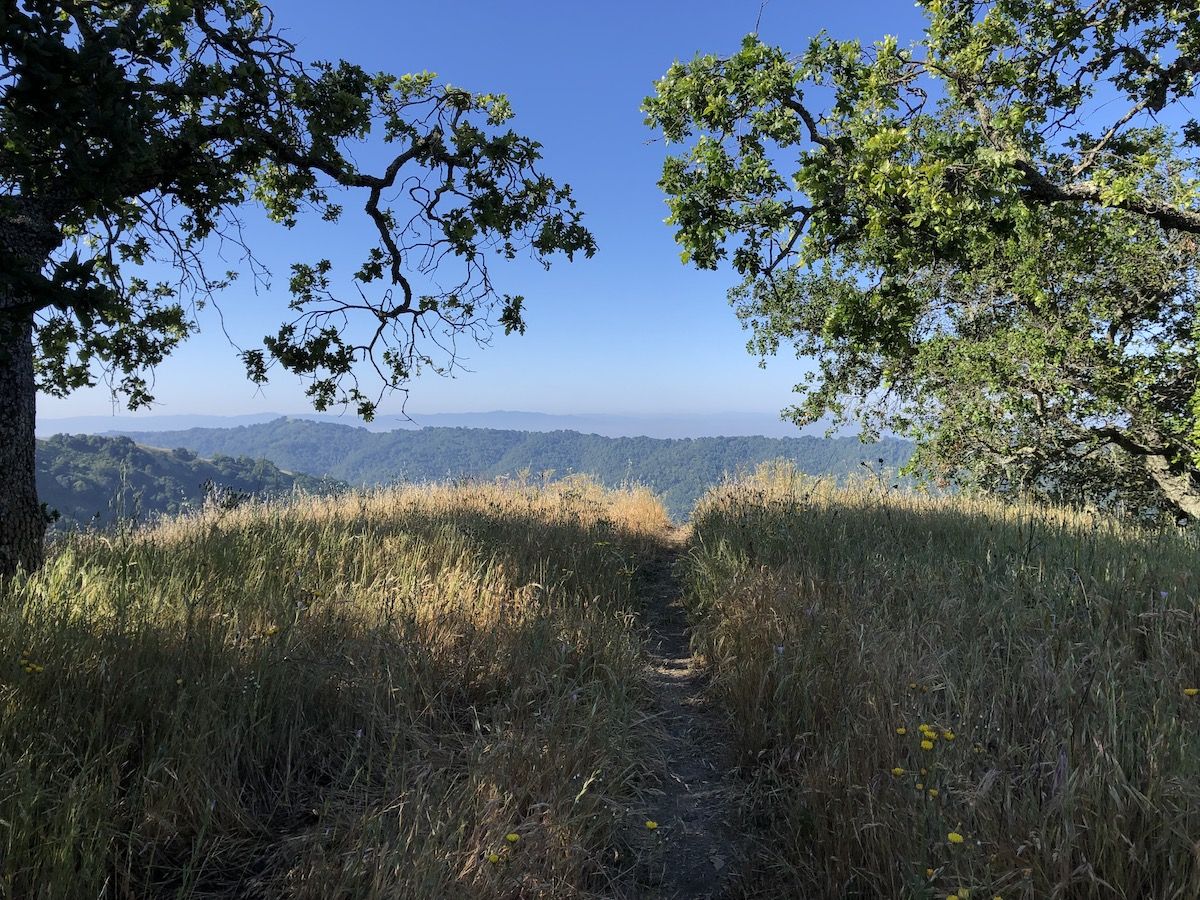
Anza trail is one of the few trails in the park that has switchbacks, so the climb was easy. Soon enough, the views began to open up. The morning mist that made the first part of the hike nice and cool had also burned off by then, which made for some sweaty hiking in pants and a long sleeve shirt.
But the views were worth it. Coming up to Jackson trail, I could see all the way to Lick Observatory.
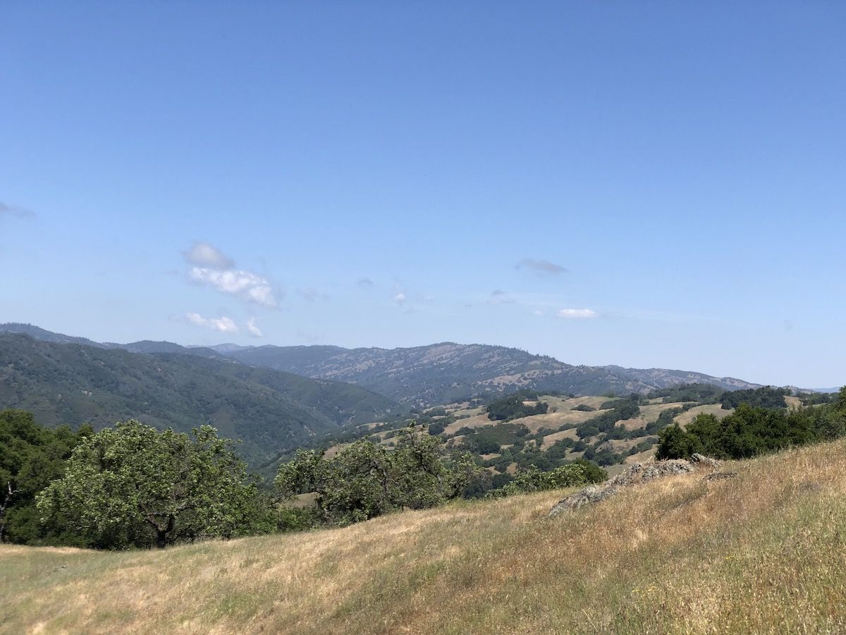
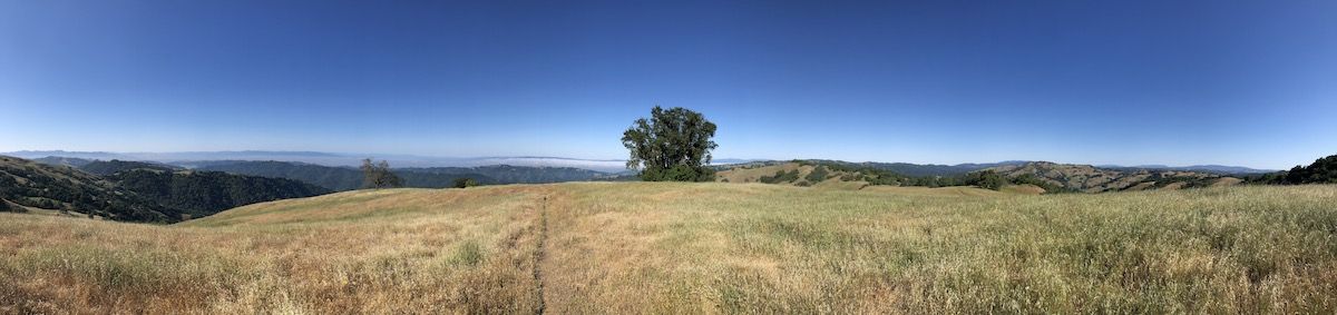
The trail continued through meadows of tall grass and sparse oaks. At one junction, I followed the trail post towards Kelly Lake instead of checking my map. This took me on a smaller trail instead of the road and shortened my day a little.
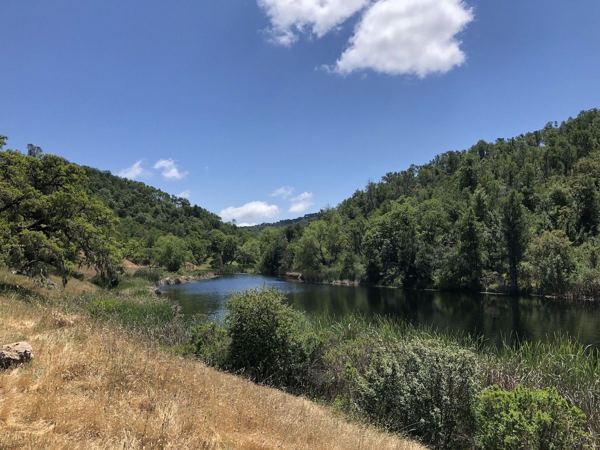
It was still early when I got to Kelly Lake, so I decided to take an extended coffee break and observe the ducks and fish doing their thing in the lake. The lake was calm with only an occasional breeze stirring the surface.
My next destination was Pacheco Falls. I didn’t have a plan for where to camp yet. I had checked my map at Kelly lake and marked two potential spots: a spot near the pond above the falls and the Pacheco Camp.
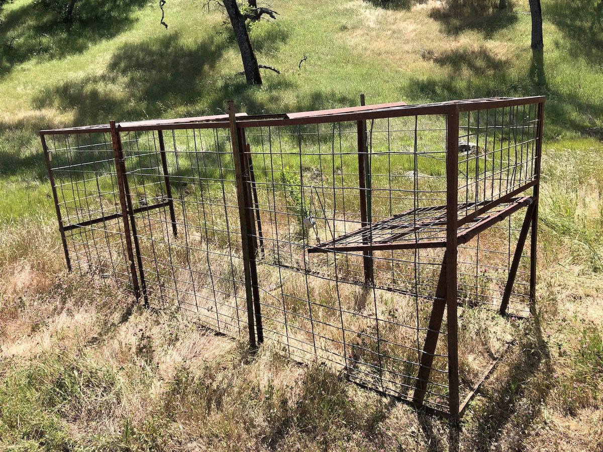
As I passed Coit Lake, I saw that wild pigs had been digging up a lot of the soil around the small streams leading into the lake. Wild pigs are a big problem in the park as I would realize a bit later. The Rangers had set out traps, hoping to lure them in with a tasty pile of corn.
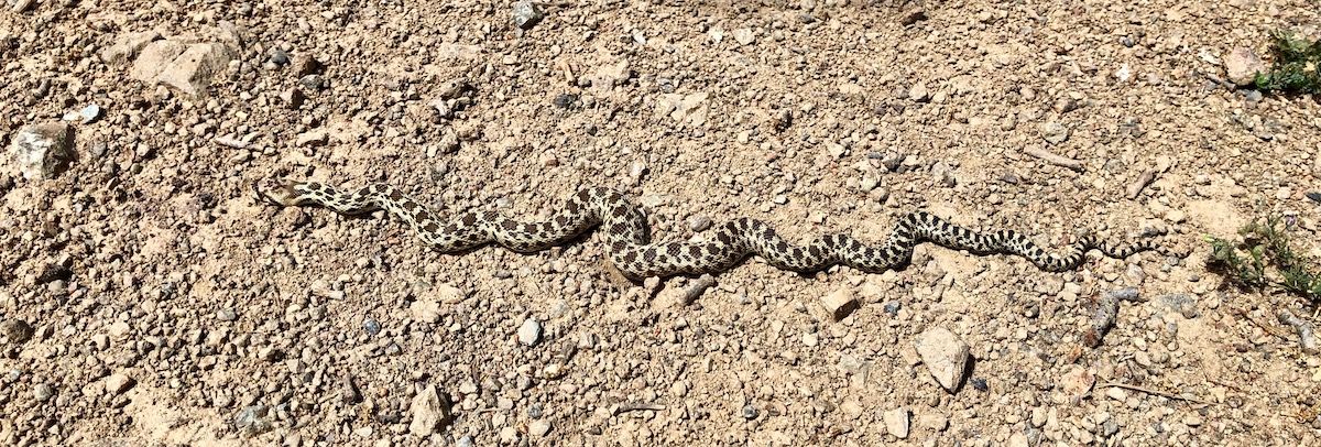
I saw the first snake of the trip on the road from Coit to Pacheco. It was tiny, probably less than a foot long.
The trail down to Pacheco Falls from Live Oaks Spring Road was a steep 1,000ft descent. Walking down, I was fantasizing about taking a dip in the pool under the falls to cool off and wash off the sweat and trail dust I’d collected during the day.
When I finally got down to the falls, I was greeted by a beautiful, turquoise pool surrounded by green trees and bushes. I could see fish casually swimming around in the calm water, cursing myself for not bringing my Tenkara rod.
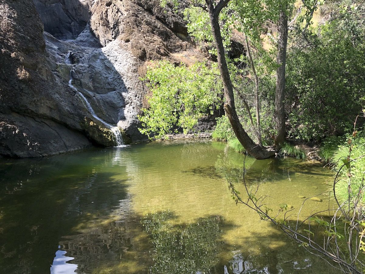
To my big disappointment, it turned out that most of the bushes around the pool were poison oak, and I couldn’t find any way to get into the water without going through poison oak.
Begrudgingly, I started the 1,000-foot climb back up. The spot that had looked promising on the map didn’t yield any decent campsites, so I backtracked a mile and then continued to Pacheco Camp.
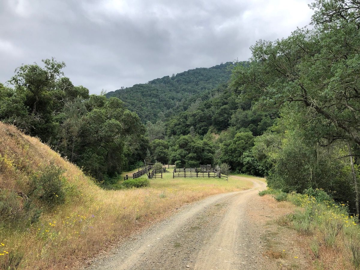
When I got to the camp, I realized that camp didn’t mean campsite. It was a dilapidated old hunting camp with a handful of old buildings that looked like they’ll fall over any minute.
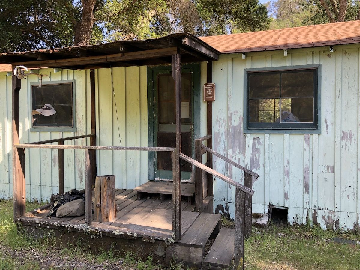
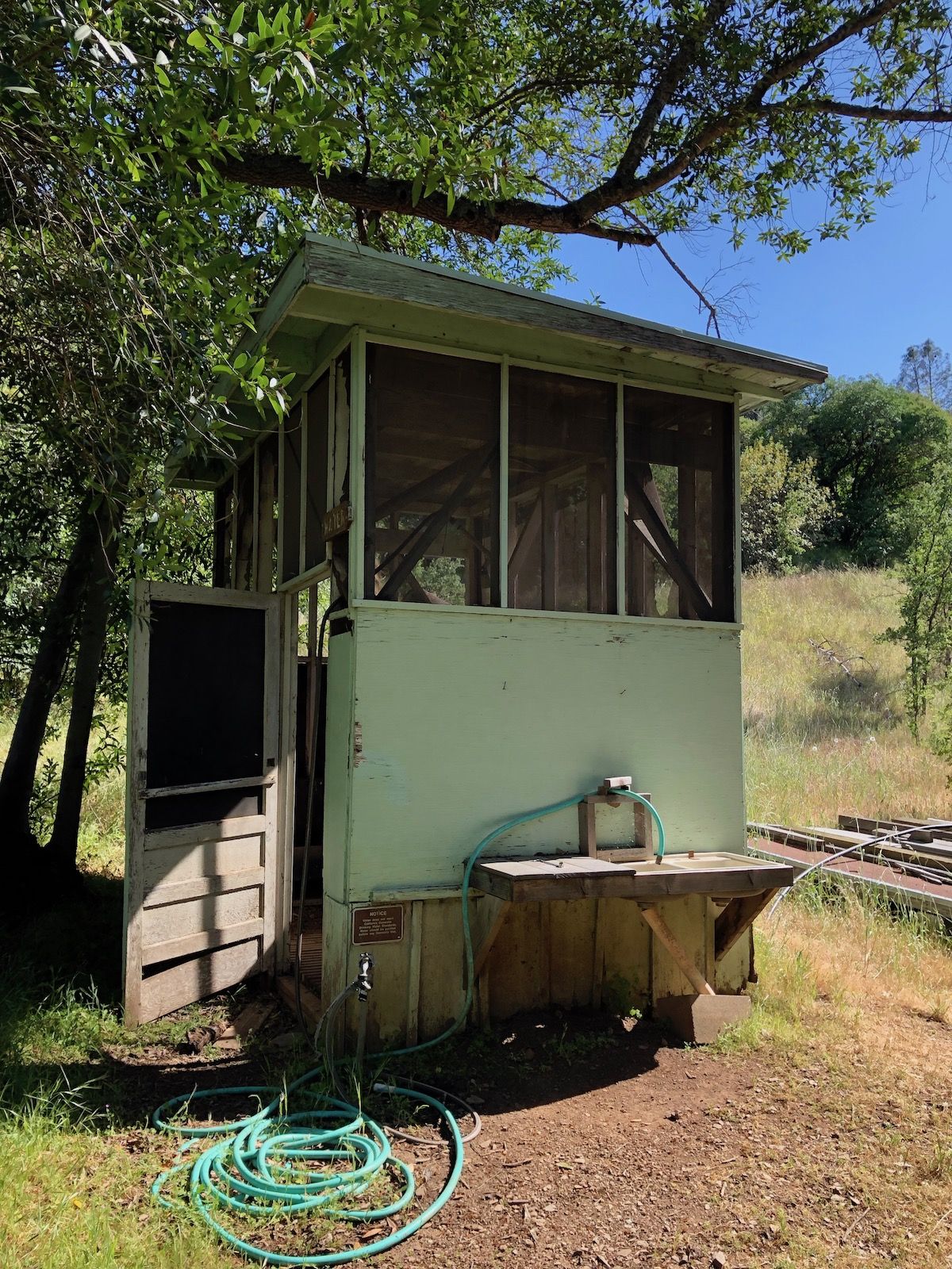
I had come out to enjoy nature so spending the night in the backyard of a creepy old camp wasn’t really what I wanted to do. The campsite was also down in a dark valley that would get very damp and buggy once the sun went down.
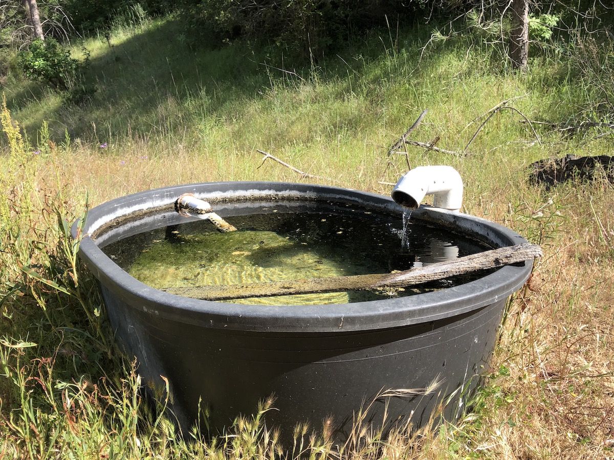
I still had plenty of daylight, so I had a cup of coffee and made a new plan. I checked my map once again and saw that there were several potential campsites along the Wagon Road. I loeaded up on enough water to dry camp and headed out once again.
Finding a campsite turned out to be more difficult than I had anticipated. I had recently watched Andrew Skurka’s video on finding five-star campsites in preparation for my trip in September, and wanted to find something that ticked all the boxes: not near water, under foliage, and on a soft surface.
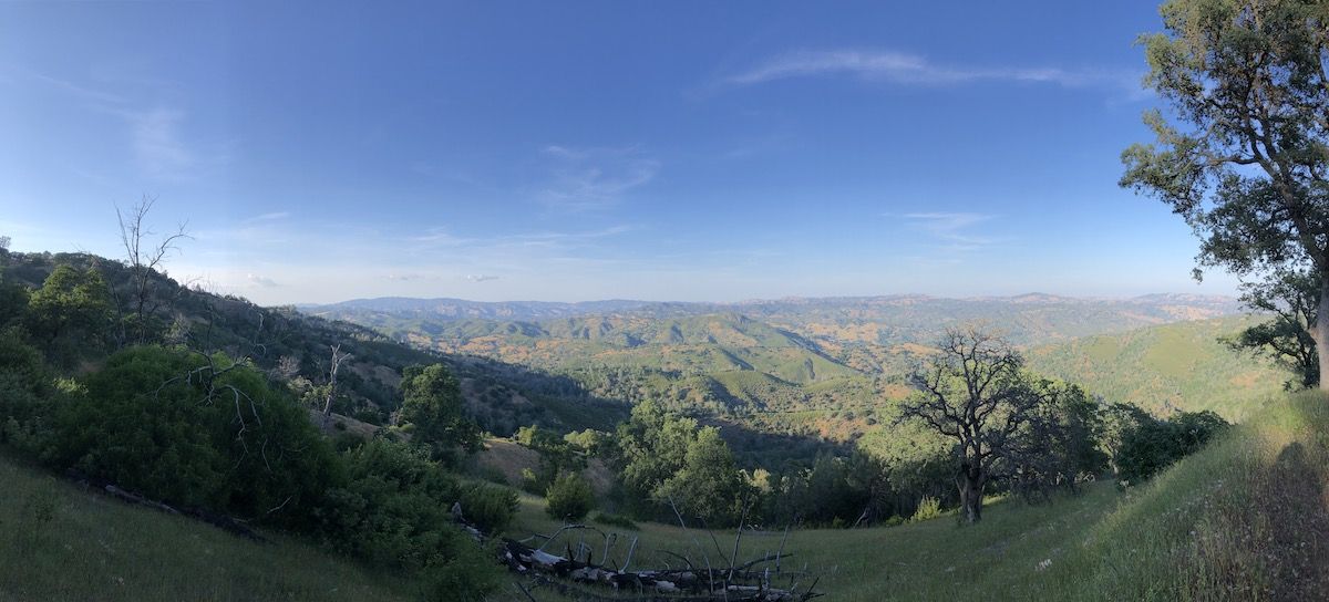
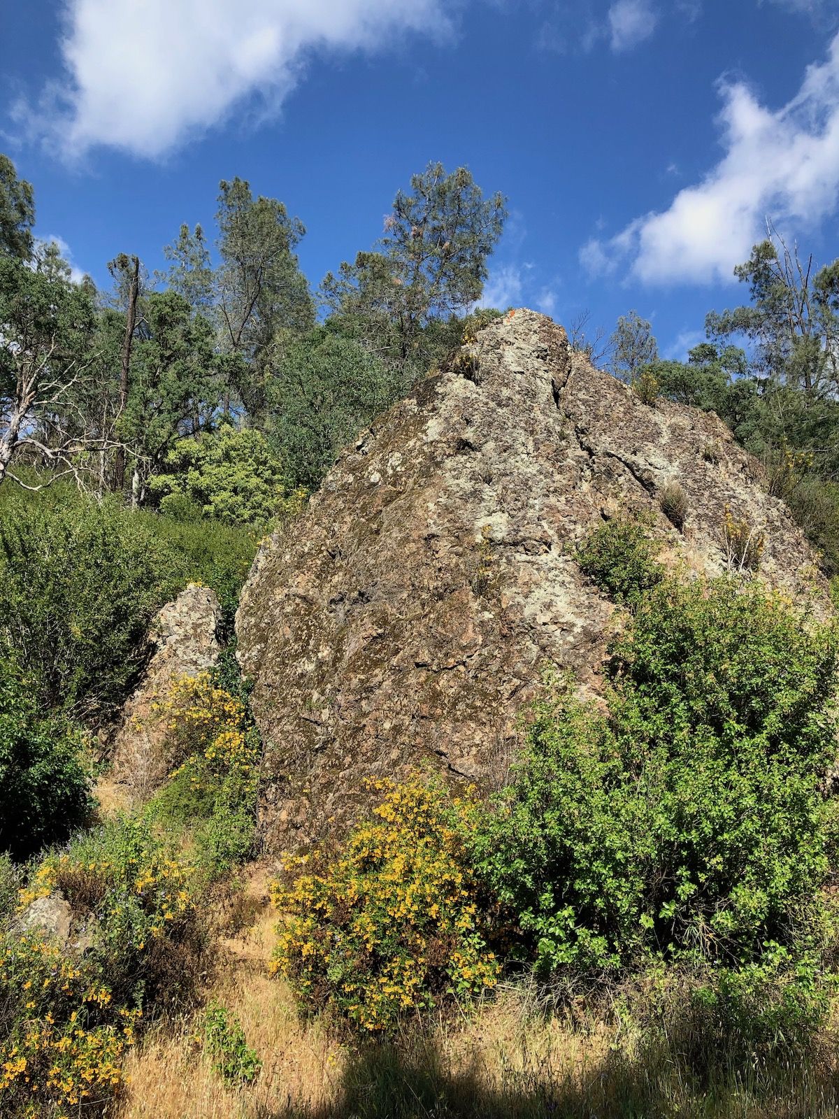
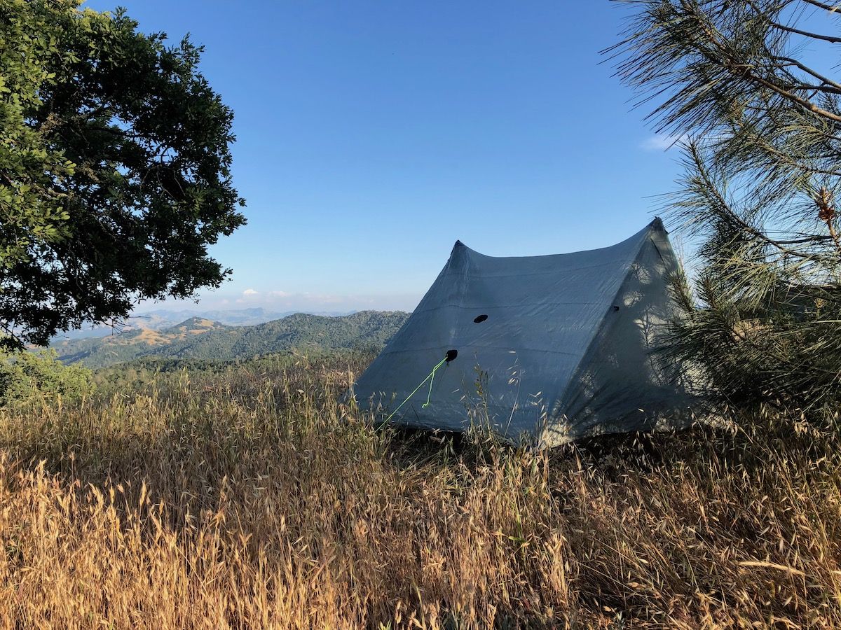
Turns out that the pigs have been busy digging up the ground under pretty much every single oak tree in the park at some point in time. The ground under oak trees was very bumpy even in spots that looked good from farther away. Finally, I found a beautiful place tucked in near a pine for wind protection. It wasn’t a full five-star site, but with the views factored in, I’ll give it four stars.
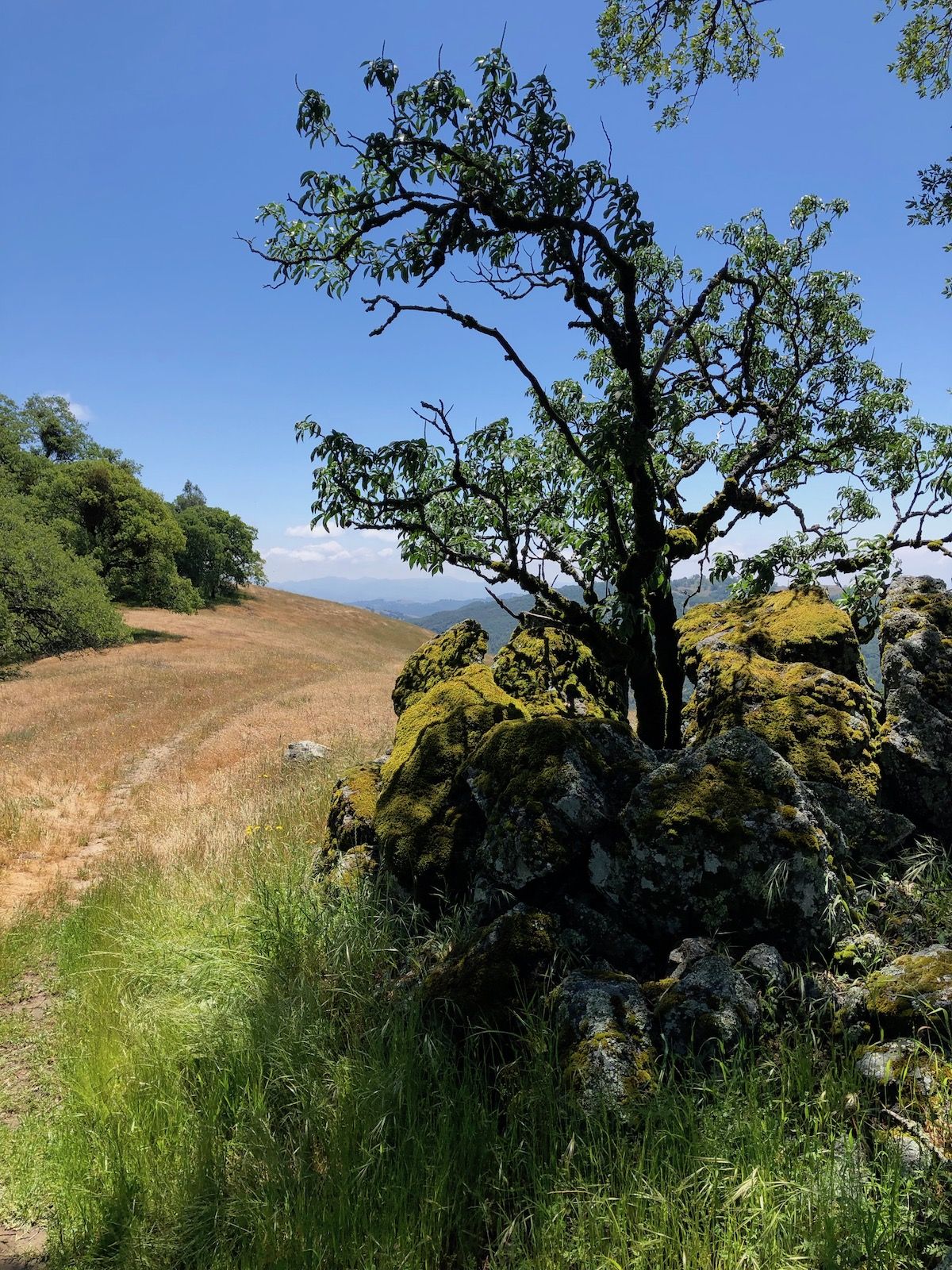
There was a rock outcrop near the campsite where I could sit and cook dinner while I watched the sunset. After dinner, I retreated into my tent and under my quilt to read for a while. I could hear the wind blowing through the pine needles, but my tent was well protected.
Day 1 stats: 20 miles, 4,200 ft ascent
Day 2
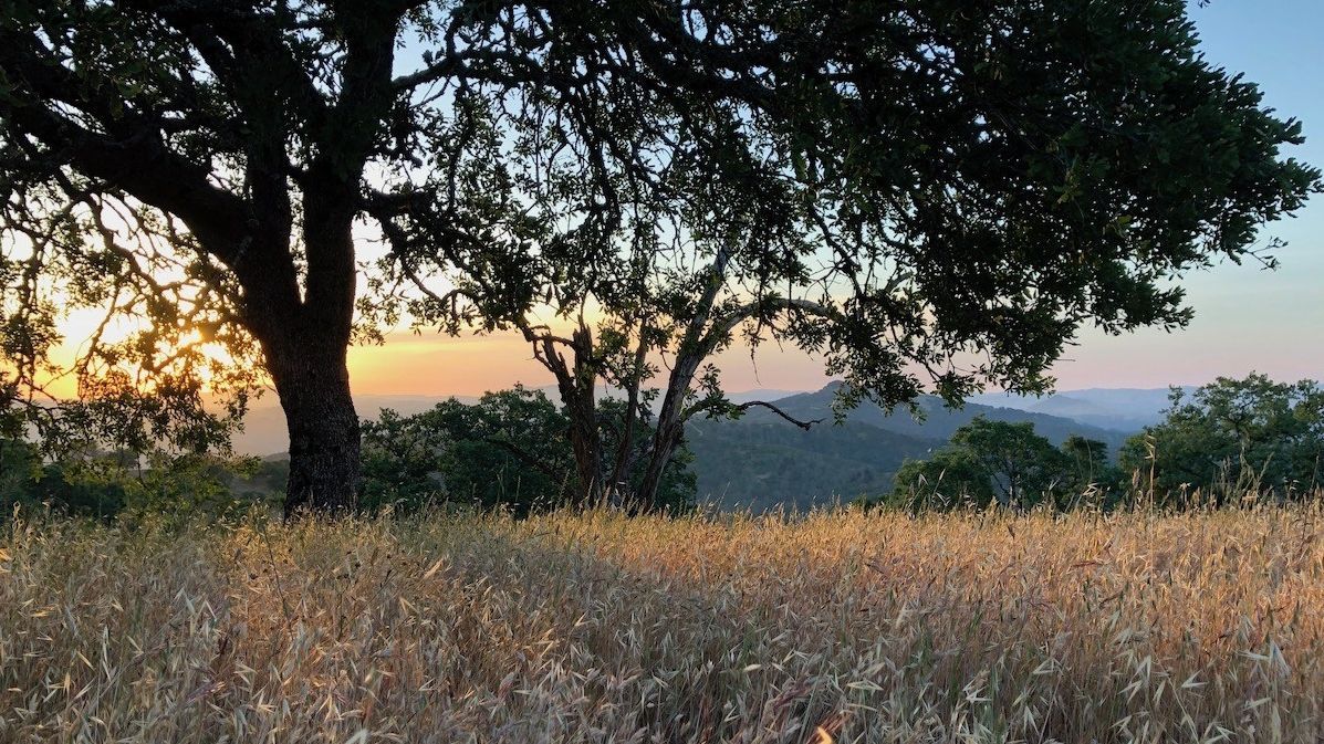
I woke up a bit before six as the sun climbed up over the horizon. My tent is translucent, which makes for some magnificent sunrises.
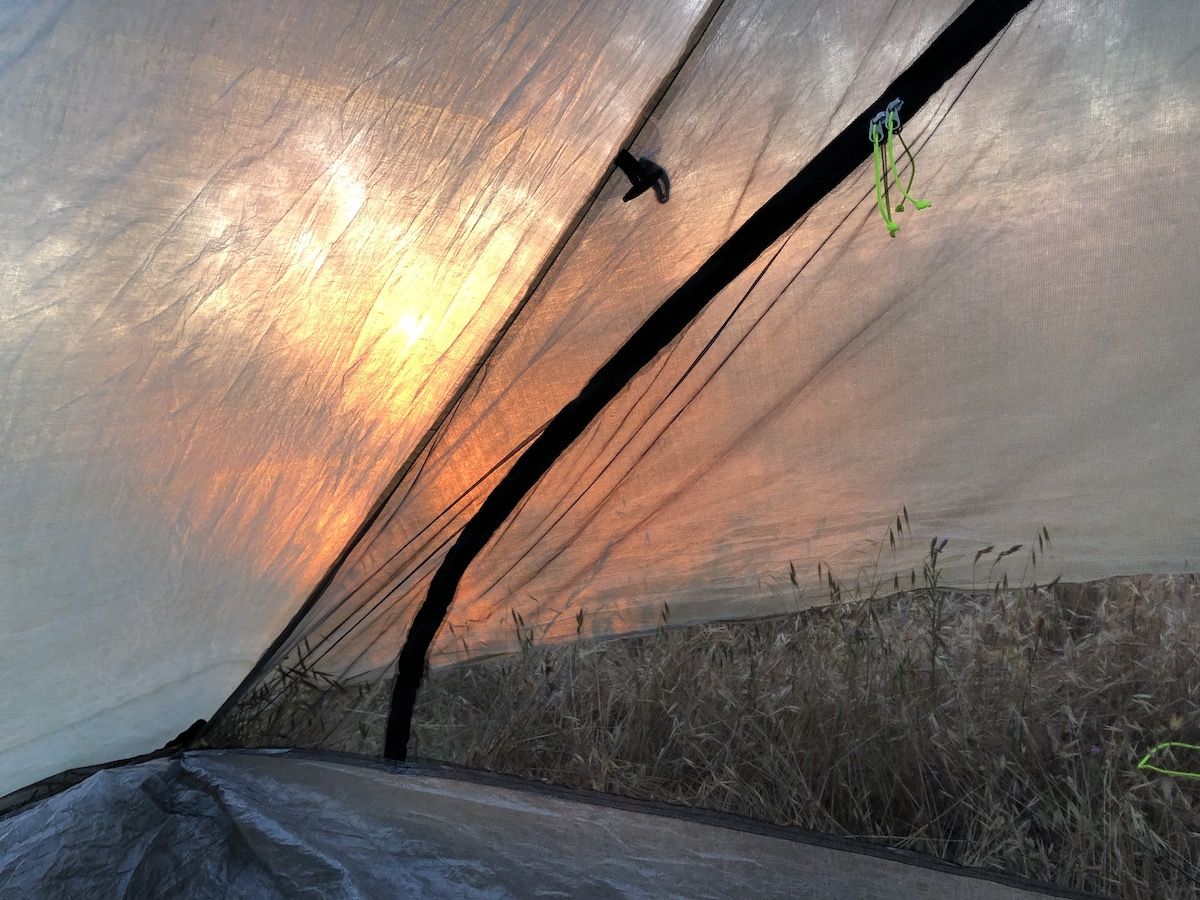
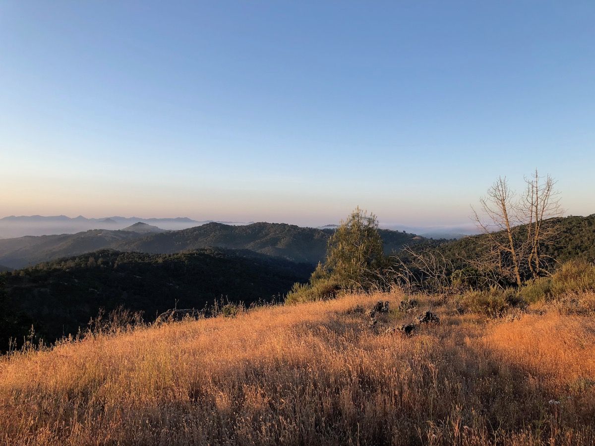
I was greeted by a warm golden glow when I opened the tent door. The tall yellow grass almost looked as if it was on fire. The valleys had been blanketed by mist over the night.
I didn’t have enough water to make breakfast at camp, so the plan was to quickly pack up and have breakfast at the first water source instead. I ended up walking all the way to Tule Pond before stopping because I missed the trail junction to Wasno Pond and wasn’t hungry enough to backtrack.
I gathered water at the stream before Tule pond and then continued for a few hundred yards to find a place where I could sit in the morning sun and look at the pond.
I was in no hurry, so I probably spent close to an hour drinking my morning coffee and looking at turtles swimming around in the pond. Just as I was getting ready to leave, I met the first other hiker in over 20 hours. It’s incredible how much solitude you can find so close to a 7 million person metropolitan area.
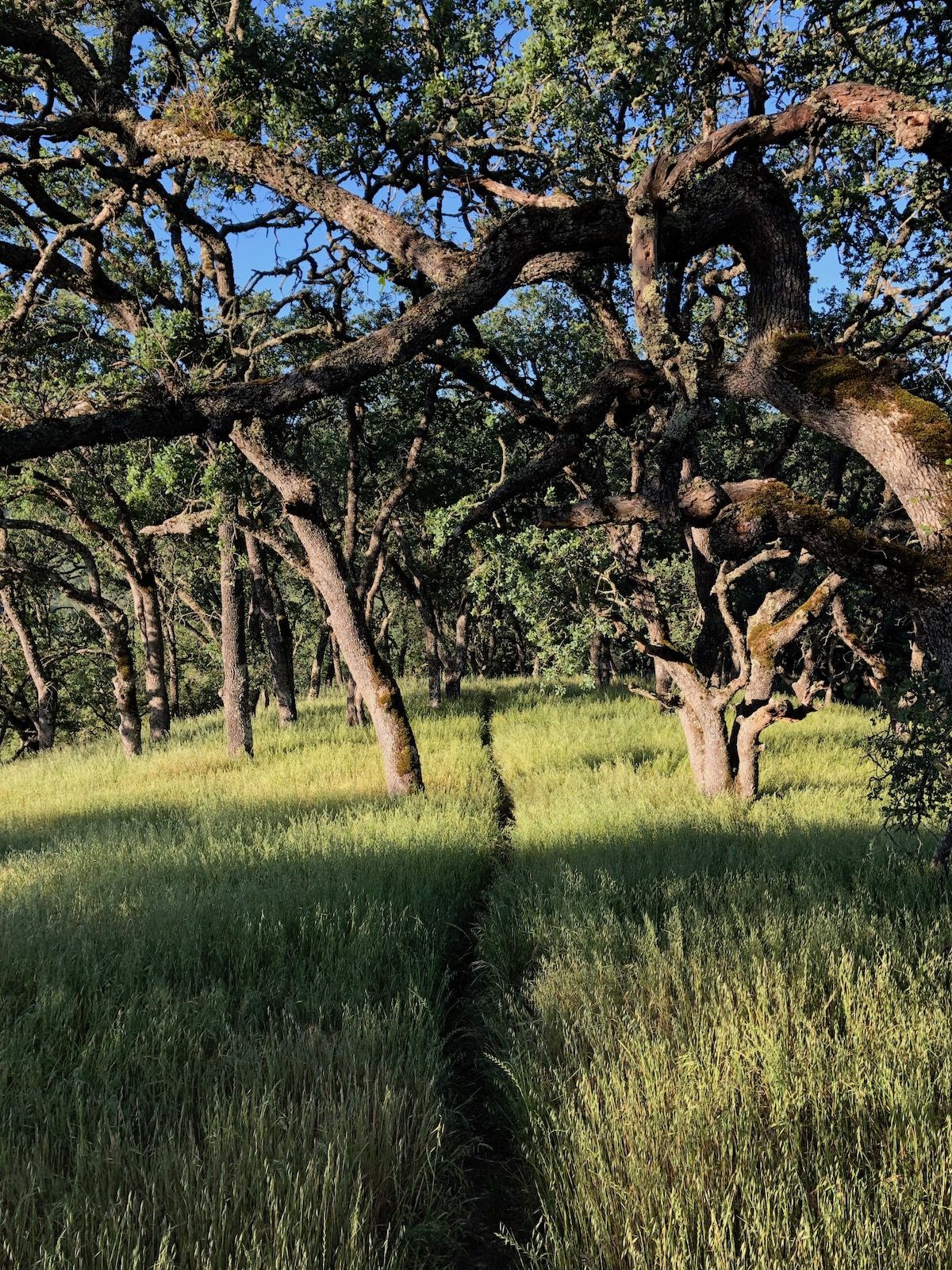
After the breakfast, I had one last climb to do before starting the steep descent back down to Hunting Hollow. Much of the trail went through thigh-high grass on the second day. But the Permethrin worked. I only saw two ticks on me on the entire trip and was able to easily brush off both.
Switchbacks are for losers.
– Henry Coe trail designer, probably
The standing joke about Henry Coe is that you don’t go there to train for the Sierra; you go to the Sierra to prepare for Henry Coe. And indeed, the climbs can be brutal. The trails often follow the path of least effort – for the trail builder that is.
Thankfully, I was going down Middle Steer Ridge Trail. It was a steady steep downhill with some even steeper drops inbetween. It would have been a pain without hiking poles to take some load off the knees.
Once I got down to the bottom, I had less than a mile along a dirt road to get back to my car. The road crossed a creek several times, but the water was low enough already that skipping rocks was easy and I made it back to the car with dry shoes.
I got back to the car at 9:30AM, which left me with a full day for other stuff at home. All in all, this was a good trip.
Day 2 stats: 6.9 miles, 1,000 ft ascent.
You can find the (planned) route on Caltopo.