4 dog-friendly day hikes near South Lake Tahoe
The Lake Tahoe region offers tons of excellent trails that are suitable for dogs. Here are 4 of my favorite day hikes within easy distance of South Lake Tahoe.
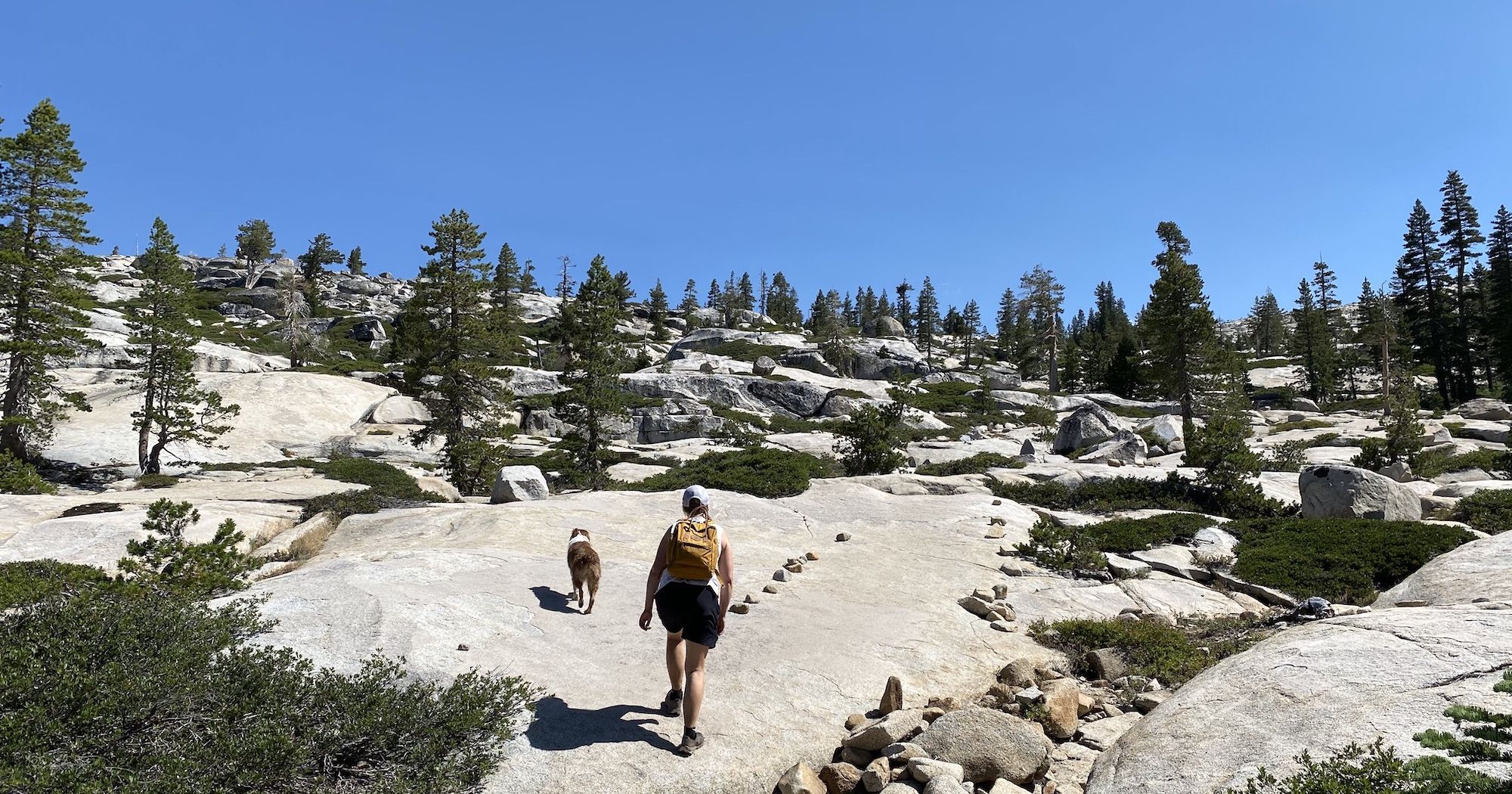
Last week my wife and I rented a cabin in the Sierra Nevada foothills for our vacation. Of course, we brought with us our adventure dog, Nova.

One of the activities we looked forward to the most was hiking up in the Sierras around Lake Tahoe. I’ve hiked there a good deal, both the Tahoe Rim Trail and Desolation Wilderness, but I didn’t know any shorter hikes suitable for dogs.
Here are four excellent dog-friendly hikes, complete with stats and maps.
1. Lake Margaret
Length: 4.7 miles
Elevation gain: 760 ft
Type: Out and back
Difficulty: Easy
Trailhead: Lake Margaret Trailhead
The trailhead fills up fast, so get there early. There are no restrooms at the trailhead.
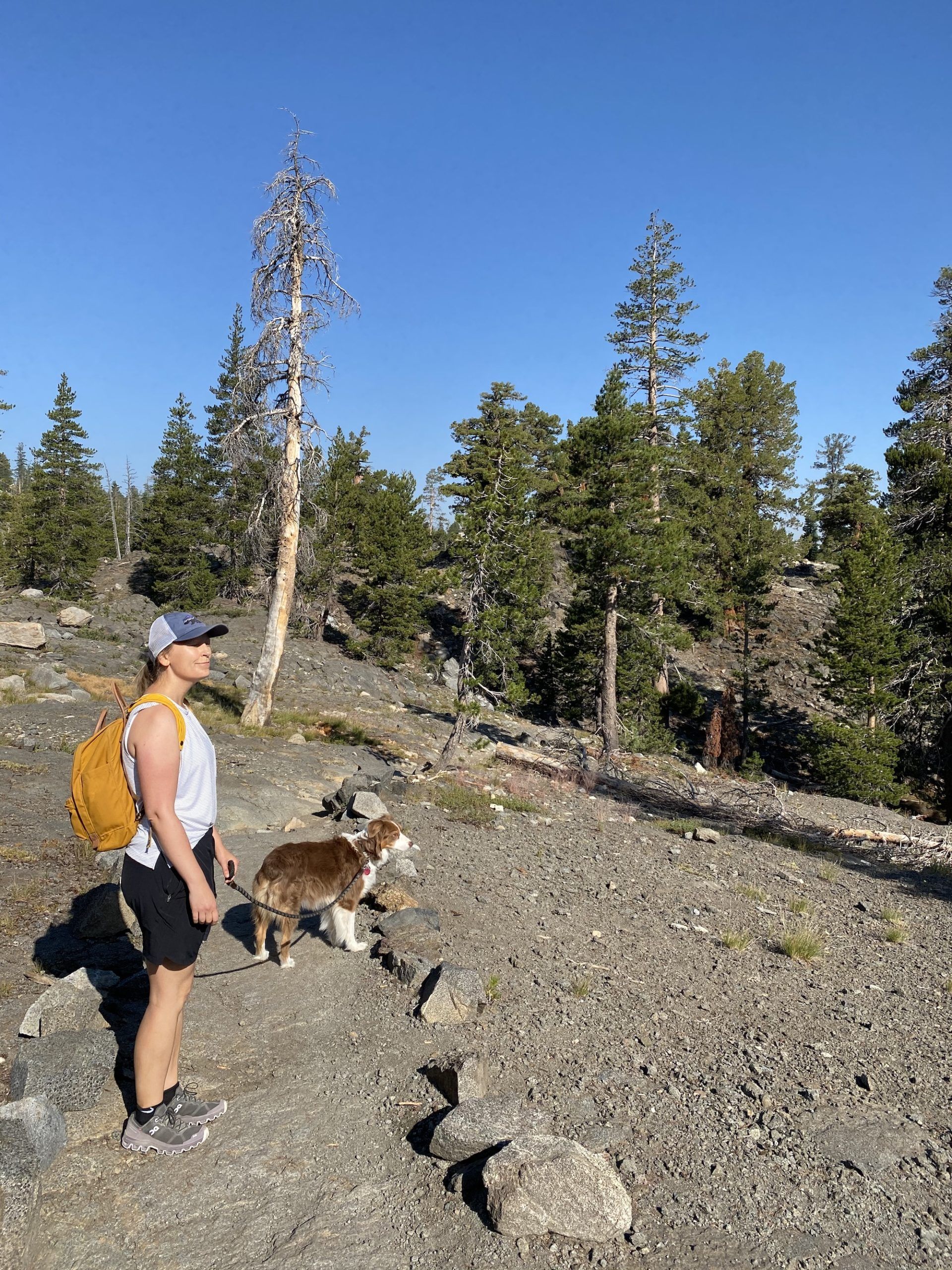
The trail descends over a rocky surface down to a beautiful meadow along Capels Creek. We stopped to fish for a while and caught a couple small brookies. There were mosquitoes, but they weren’t bad.
The trail climbs over a rocky ridge from the meadow and then drops back down to a small pond. From there, it follows a creek with thick vegetation until the last scramble up to the lake.
The last climb is the only slightly tricky climb of the trail. Our Aussie was able to do it on her own, but you may need to help smaller dogs in some sections.
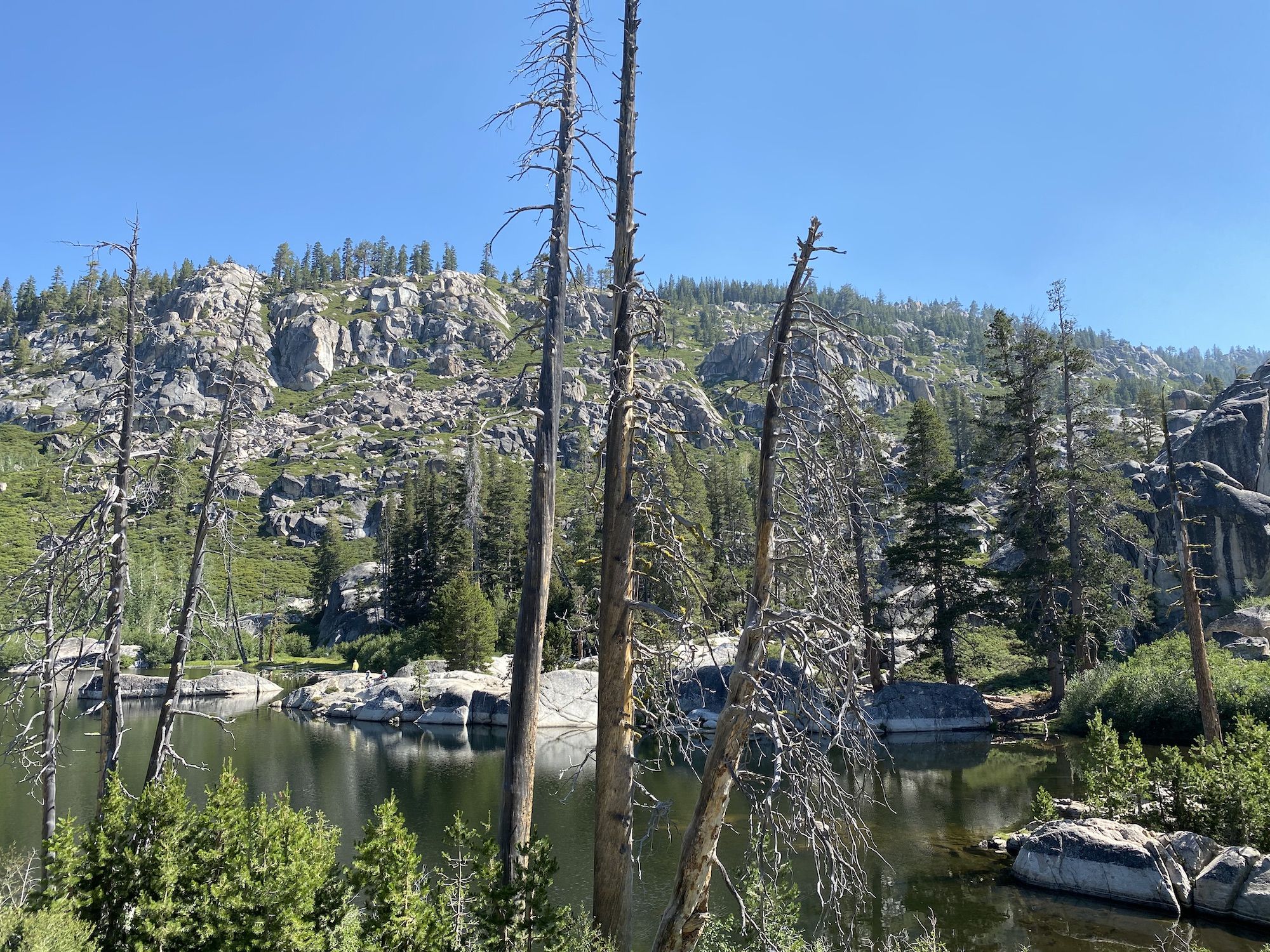
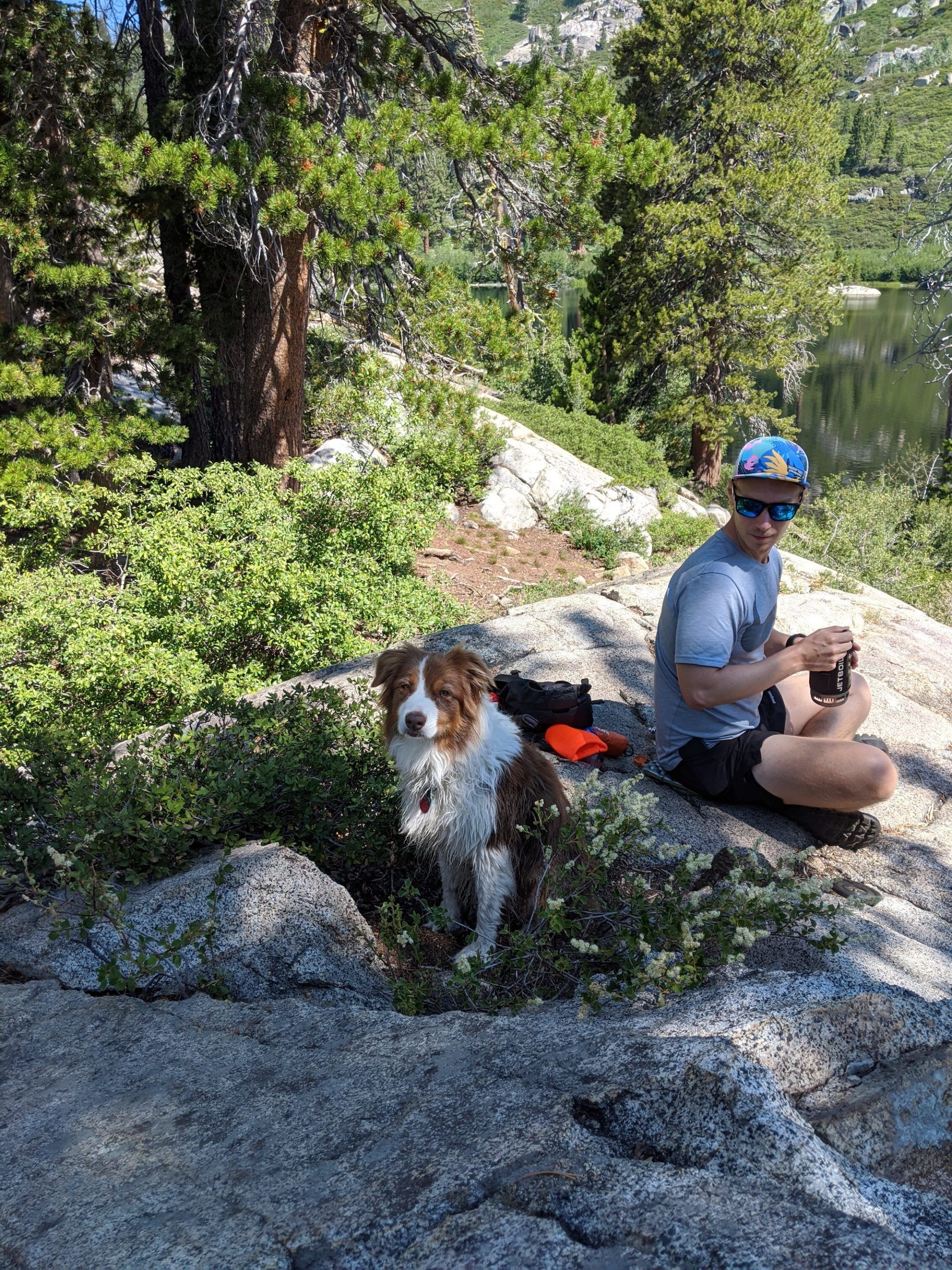
Lake Margaret has a rocky shore to the east and offers several sweet spots for lunch. People were jumping off the cliffs to go swimming. Nova also went swimming.
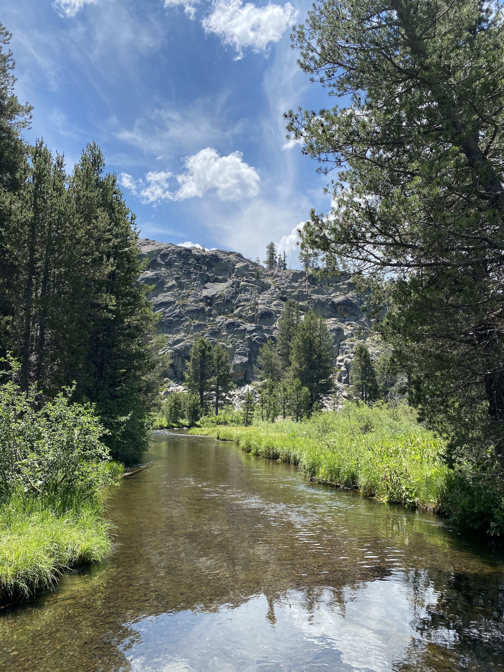
The Lake Margaret trail was busy on a weekday, but not crazy. We were able to find a private, secluded spot for lunch.
2. Winnemucca Lake from Carson Pass
Length: 4.7 miles
Elevation gain: 790 ft
Type: Out and back
Difficulty: Easy
Trailhead: Carson Pass PCT Trailhead
There are two PCT trailheads at Carson Pass. The trail starts at the southern trailhead. Parking is $5, and there are restrooms.
The trail starts out in a pleasant forest, passing a small pond. It’s a constant slight incline all the way to the lake, but it never gets too steep.
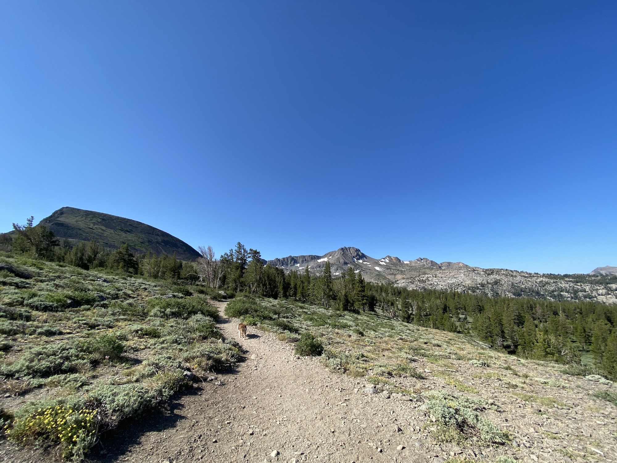
After a while, the trail breaks through the trees into low shrubs. There are beautiful wildflowers if you do the hike in June or July. The level vegetation lets you take in the full view to the west, with Caples Lake in the distance.
The trail passes Frog Lake (you might miss it on the way out as it’s behind you), then forks from the PCT towards Winnemucca Lake.
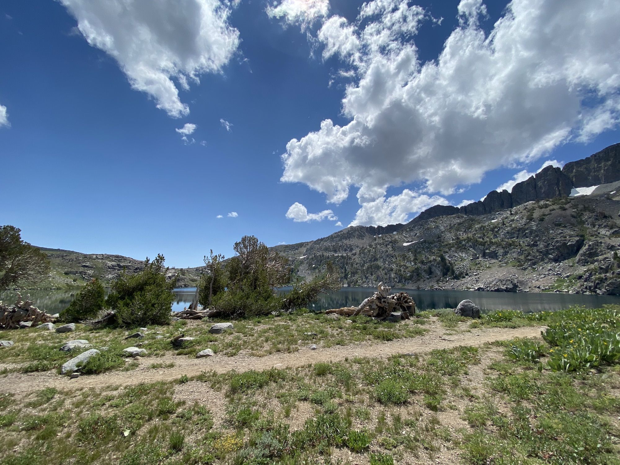
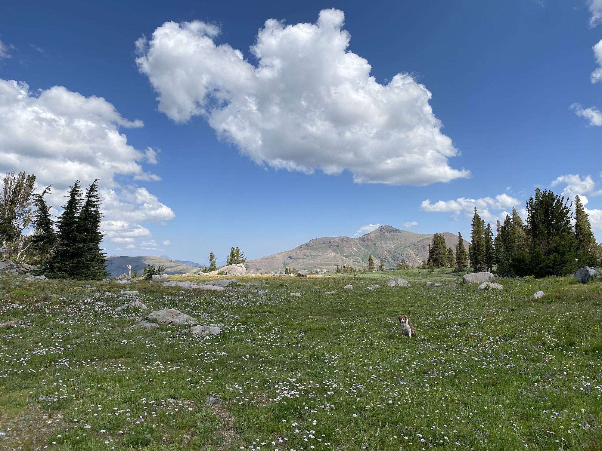
There are several good spots for swimming and lunch along the lake. The lake has small brook trout as well if you’re into fishing.
This is a very popular hike, so expect a lot of traffic and not a lot of solitude. Get there early as the parking lot fills up quickly.
3. Twin Lakes and Island Lake from Wrights Lake
Length: 6 miles
Elevation gain: 1,300 ft
Type: Out and back
Difficulty: Moderate
Trailhead: Twin Lakes Trailhead
Turn off Hwy 50 to Wrights Road and follow it for 9 miles to the trailhead. The road is narrow and rutted, but ok with a standard car as long as you keep your eyes open and avoid a few bigger ruts.
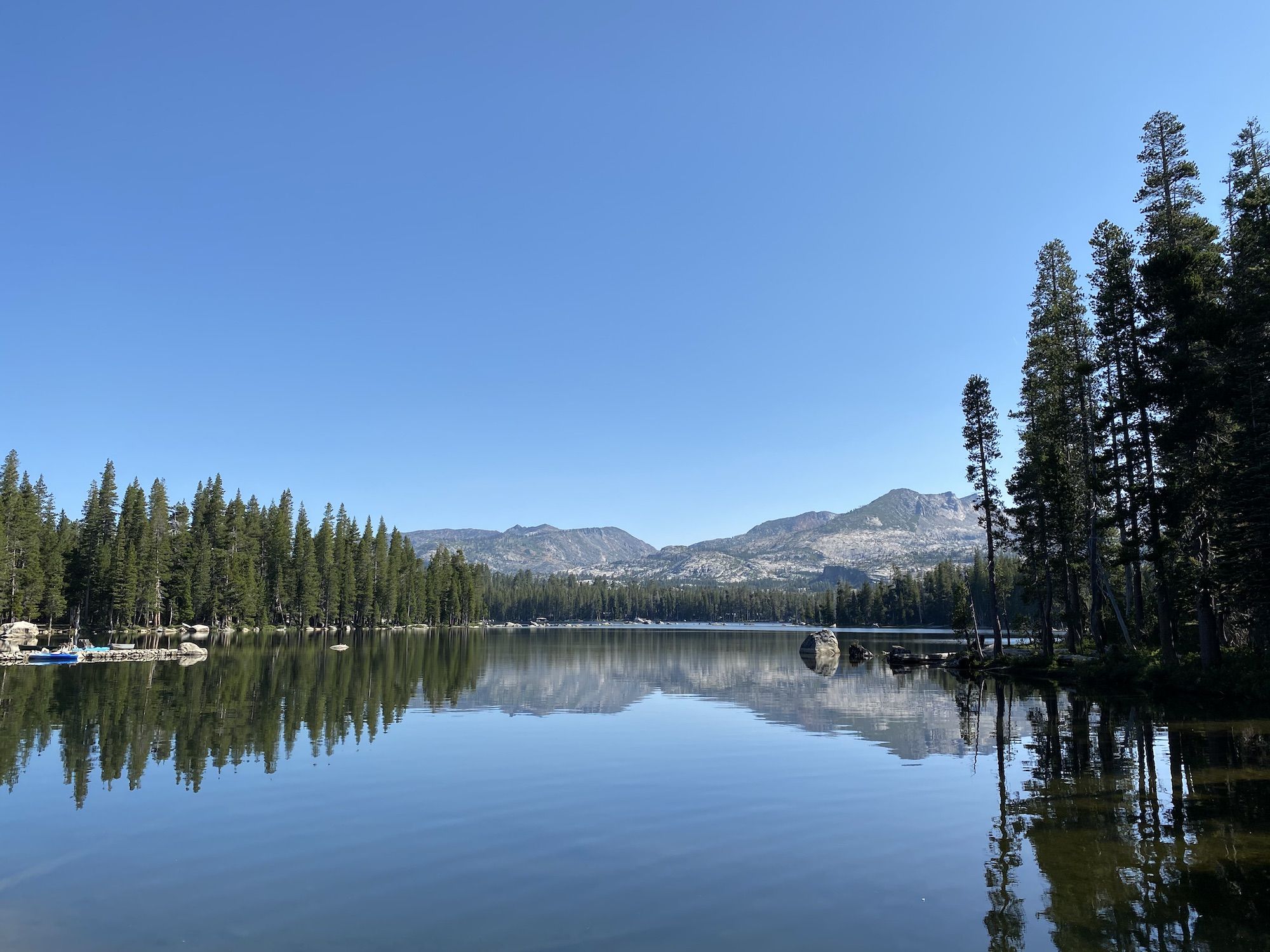
The trailhead parking lot fills up quickly. We were greeted by a sign telling us to park at the overflow lot and hike in. It’s a one-mile flat hike from the overflow lot to the trailhead. Parking is free at the overflow lot, $8 at the actual trailhead. There are restrooms at the start of the hike.
The trail starts out along the edge of the marsh surrounding Wrights Lake. After about a third of a mile, it starts climbing up toward the lakes over large granite rocks.
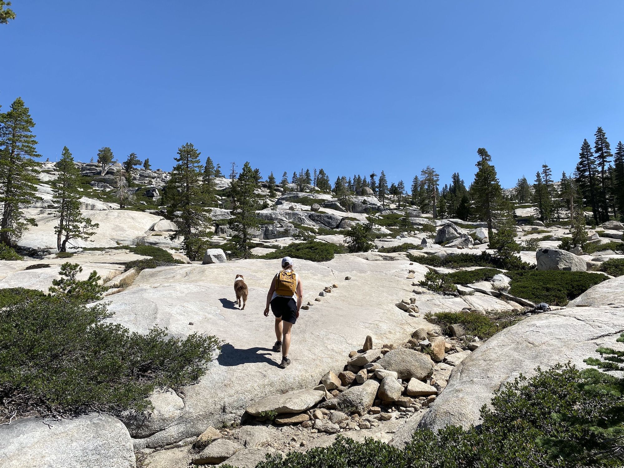
The climb offers beautiful views but can be hot as there’s very little shade on the way up. About halfway, the trail crosses a small creek where you can fill up on water if needed.
Be sure to keep your eyes open for cairns and marker rocks on the granite, the trail can be easy to lose at times.
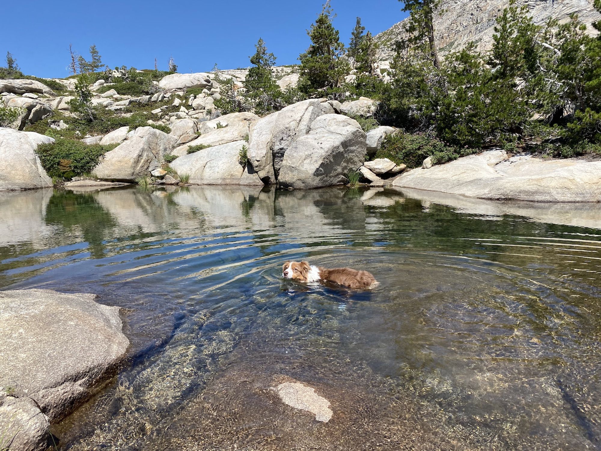
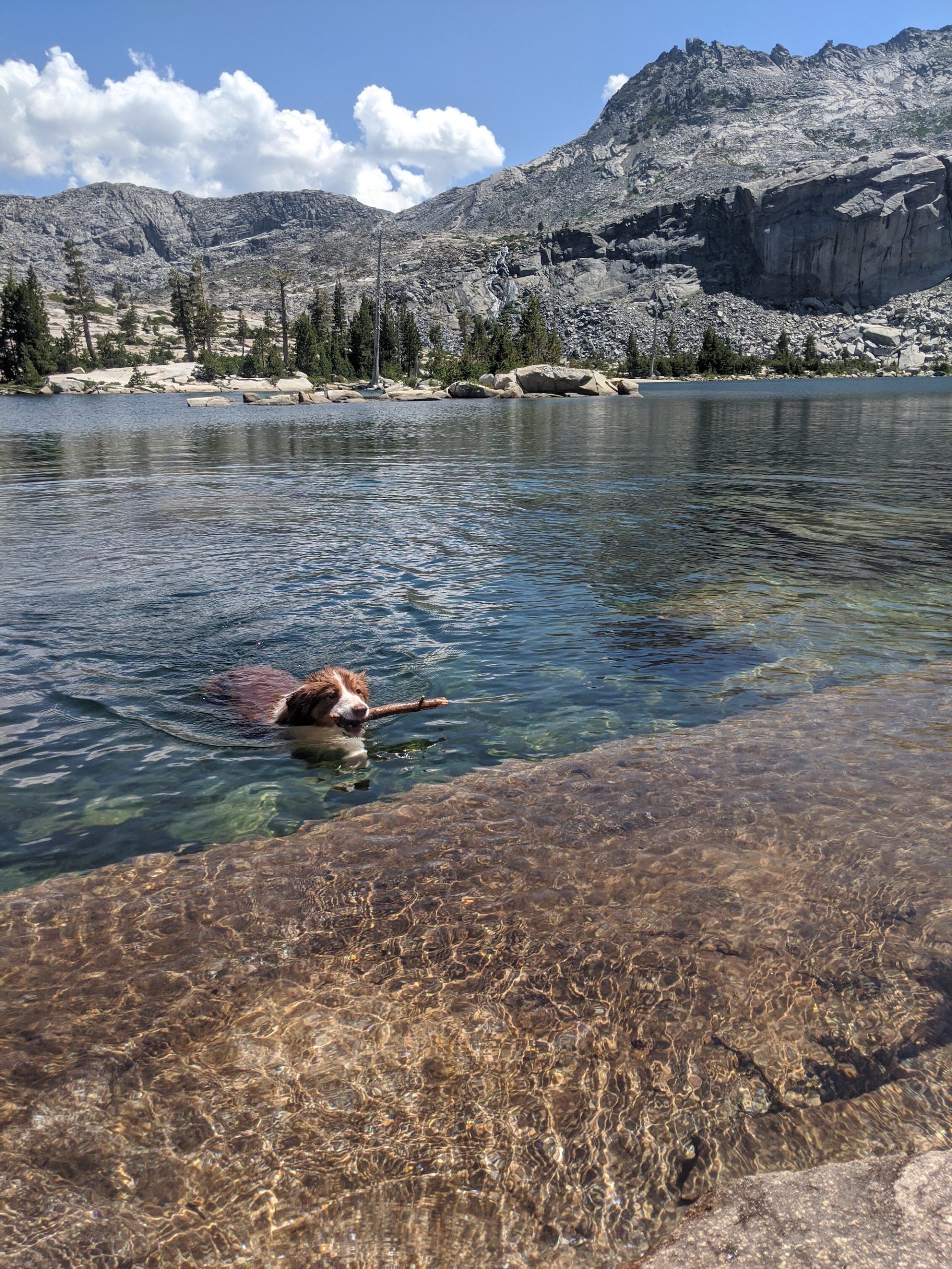
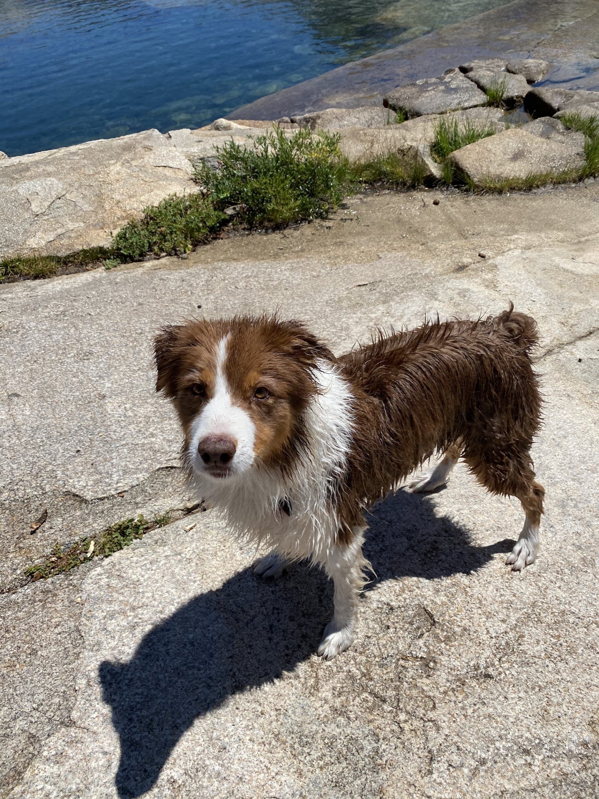
There are several great spots for swimming and fishing along the lake. The trail to Island Lake crosses the lake outlet and becomes rockier as it ascends the last 200 feet to Island Lake, passing several small ponds.
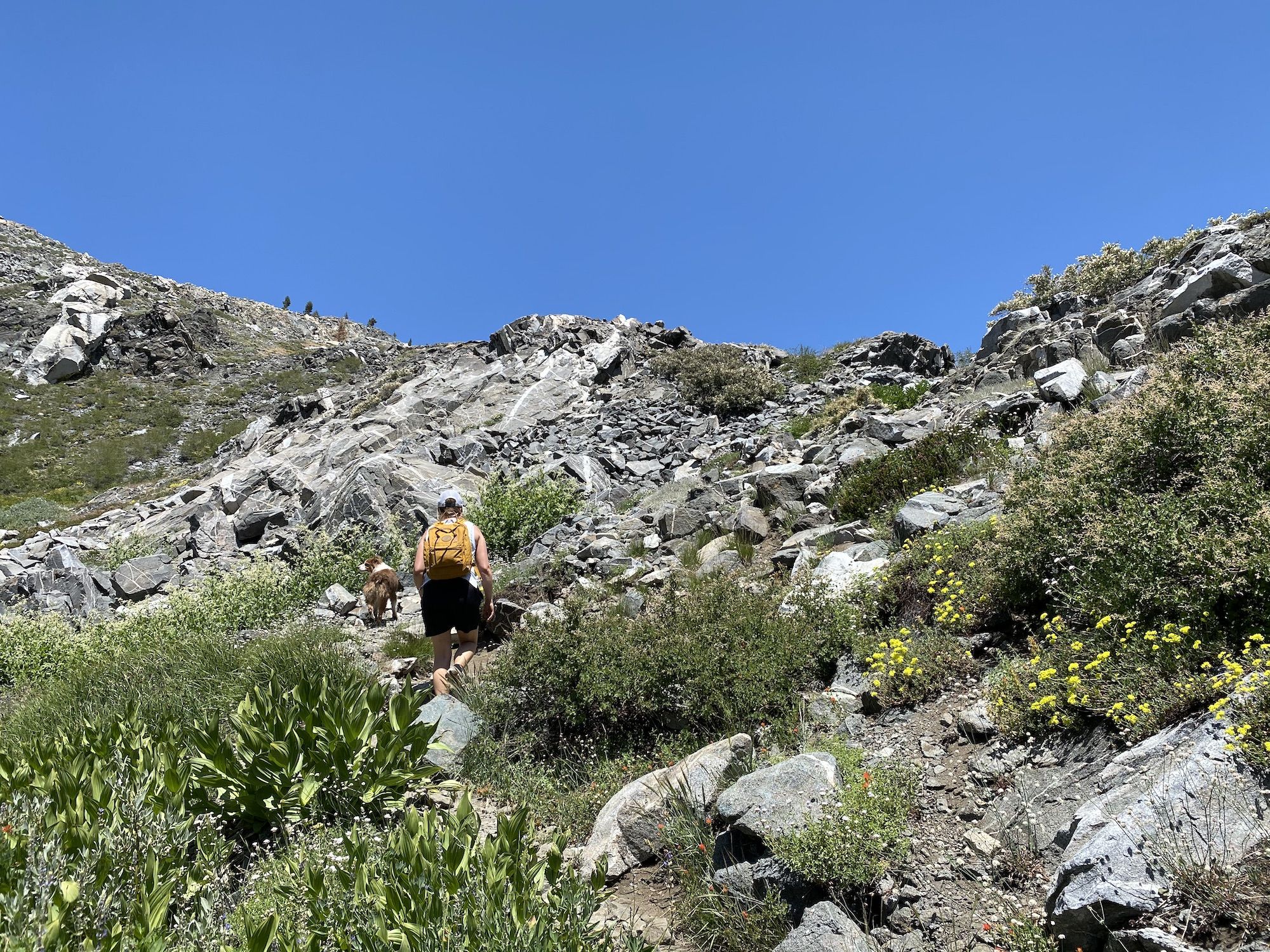
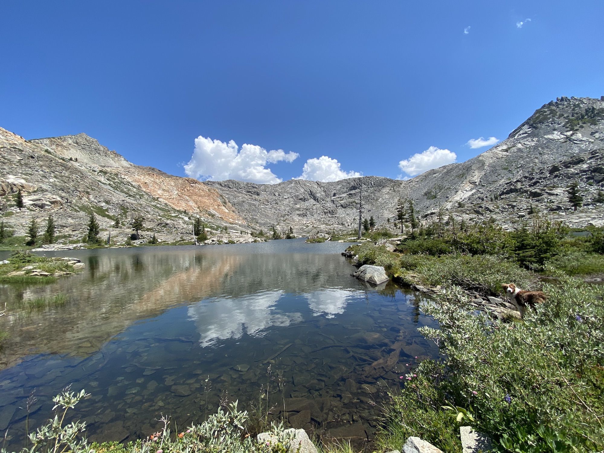
Island Lake is different than Twin Lakes, with a more vegetated shoreline. When we were there, the rangers had put out gillnets in the lake to remove all fish to save an endangered frog species.
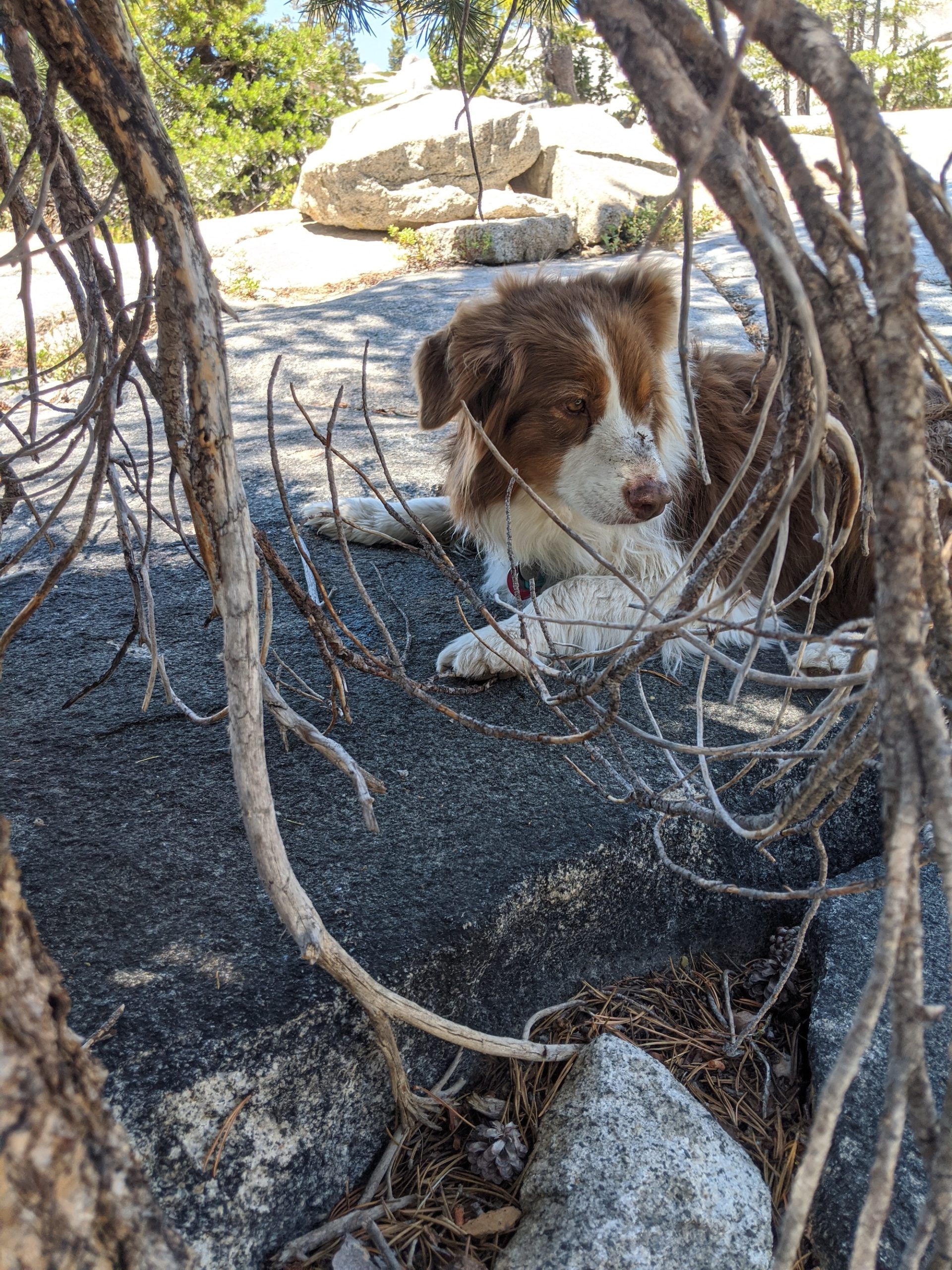
The Twin Lakes trail was our favorite of the hikes. Although it was reasonably popular, we could still find solitude and enjoy the lake in peace.
4. Winnemucca Lake and Round Top Lake from Woods Lake
Length: 5.3 miles
Elevation gain: 1,410 ft
Type: Loop
Difficulty: Moderate
Trailhead: Woods Creek Trailhead
This is an alternate to the Winnemucca trail from Carson Pass. It’s less crowded and visits two lakes. I definitely recommend it over the alternative if you’re up for the extra climbing.
The parking is $8, but you can park for free a bit farther, on the other side of the bridge. There are restrooms at the trailhead.
Going clockwise, the trail starts through an open forest, crossing a few tiny streams. After a while, the forest gives way to lower brush and views. If you do the hike in June or July, there are lots of wildflowers.
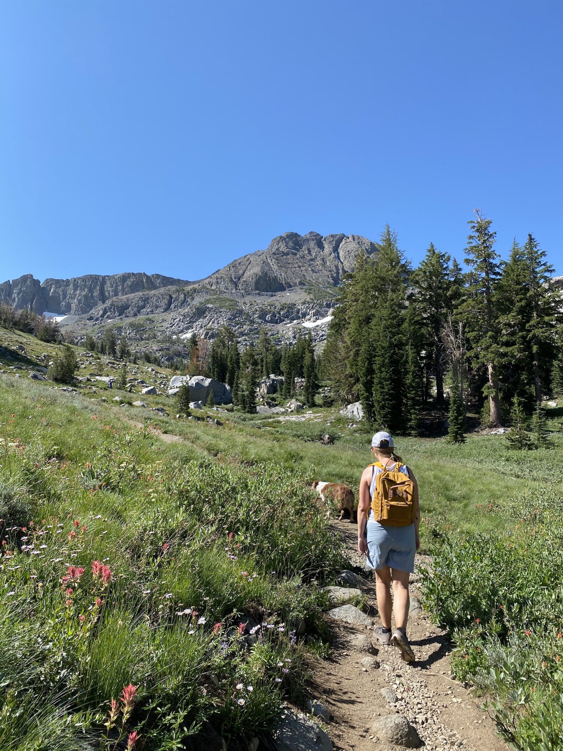
We stopped for lunch at Winnemucca lake, letting Nova swim. The lunch allowed us to break up the climb into two parts, making it more manageable.
The trail climbs another 500 ft to a small pass from Winnemucca Lake before descending to Round Top Lake. The second lake is shallow and has thick willow along much of the shoreline, making it a bit more challenging to reach for swimming or getting water.
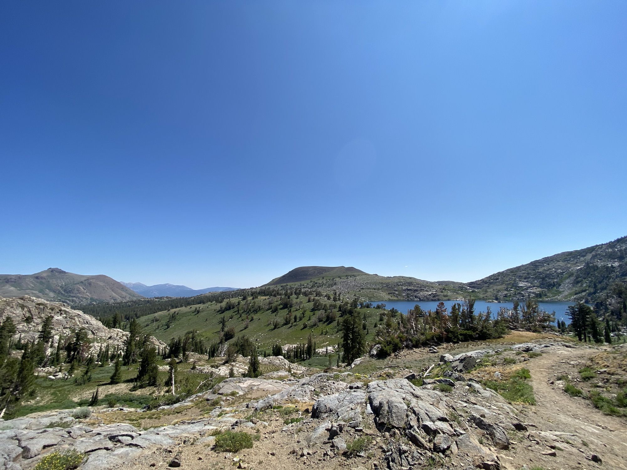
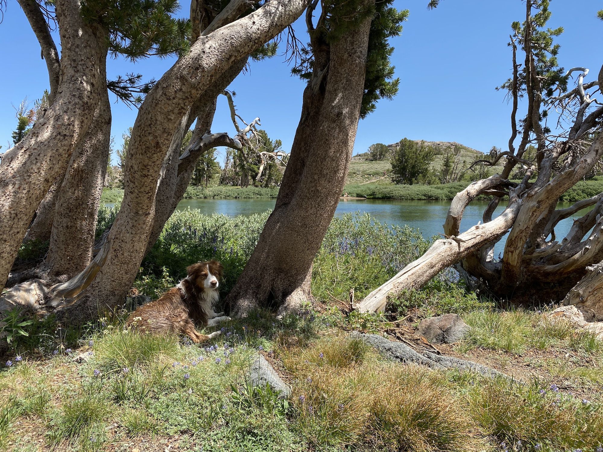
Round Top Lake was absolutely packed with people. We found a small grove of pines along the lake that gave us a bit of solitude for a coffee break.
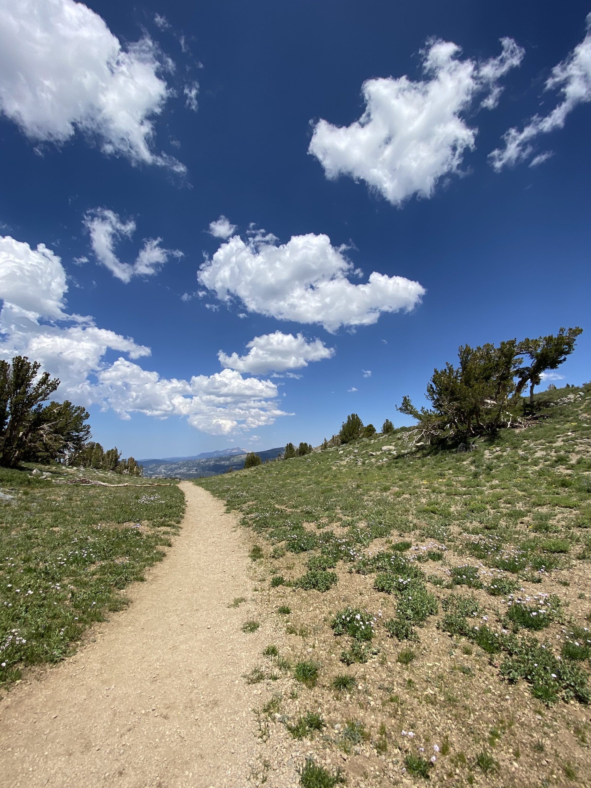
From the lake, the trail descends through meadows, then forest back toward Woods Lake. About halfway down, you pass an old mine and the remnants of an old truck.

You’ll see Woods Lake below you as you descend, but the trail doesn’t pass by it unless you take the spur trail to the campground.
